
High pressure brings back some sunshine for Wednesday
Temperatures will warm back up for the weekend
Go Deeper.
Create an account or log in to save stories.
Like this?
Thanks for liking this story! We have added it to a list of your favorite stories.


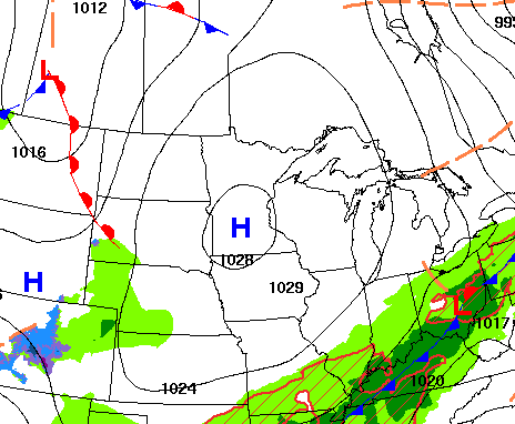
We’ll see cooler-than-normal temperatures Wednesday behind the system from the last two days. It’ll also be windy with some lingering showers. Brighter and warmer conditions will return.
High pressure brings brighter skies
It was a chilly start with frosty conditions for some, especially up north. Temperatures just after sunrise were in the 30s for much of the state with the exception of parts of the Twin Cities and southeast Minnesota.

Temperatures on Wednesday will continue to be below normal by about 5 or 10 degrees, but warmer than Tuesday thanks to some sunshine. You can thank high pressure for brightening up the skies. With chilly air aloft, we’ll see some clouds fill in at times.

Temperatures won’t be as cold Wednesday night with lows mostly in the 40s. Northeastern Minnesota will see some lows in the 30s. Thursday will bring partly cloudy skies again with highs back in the 60s with cooler pockets in the Arrowhead and along the North Shore.
Turn Up Your Support
MPR News helps you turn down the noise and build shared understanding. Turn up your support for this public resource and keep trusted journalism accessible to all.

Temperatures will continue to warm over the holiday weekend. Highs will reach 70 in southern Minnesota by Saturday with 70s and even 80s by Sunday and Monday.

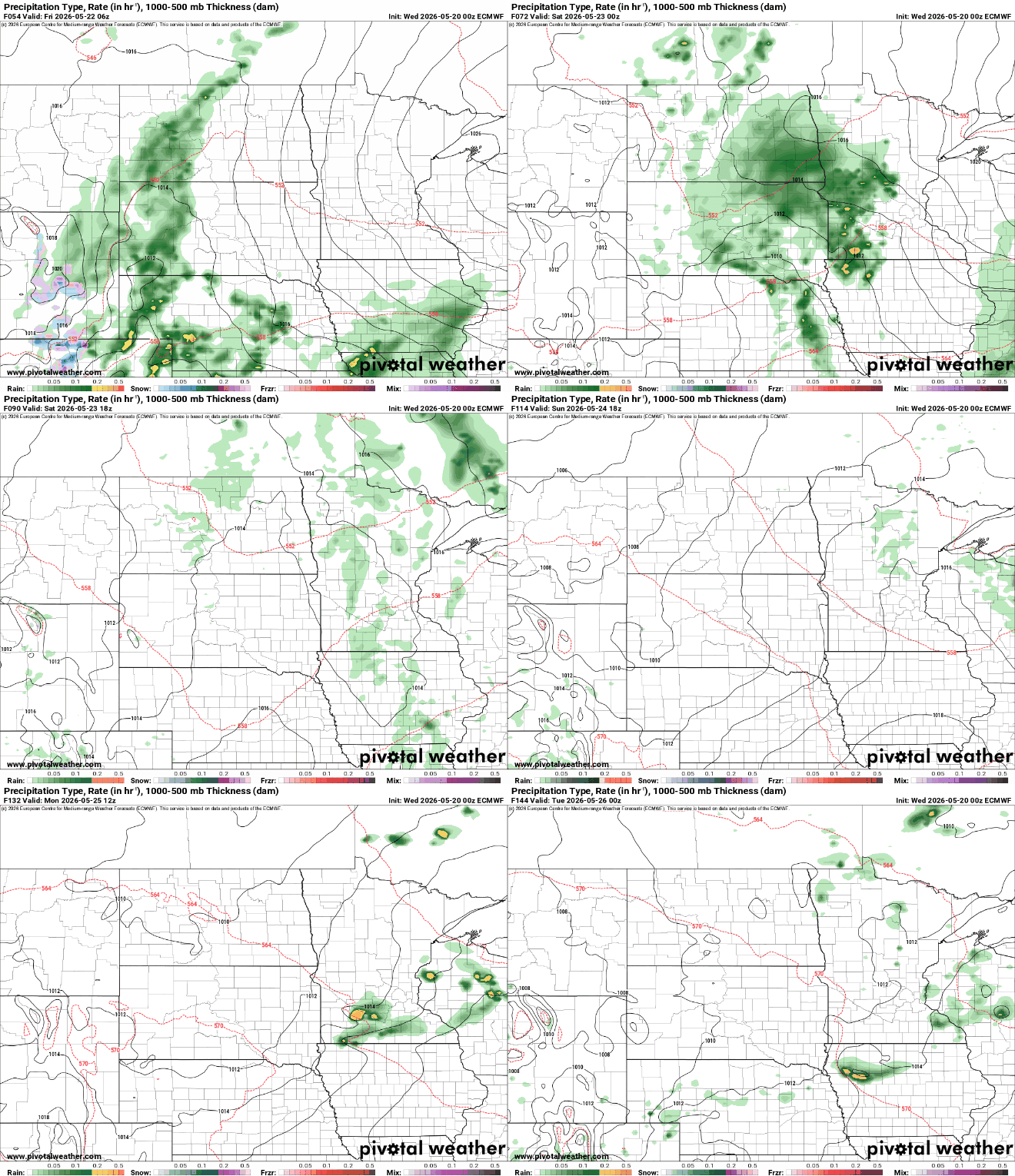
We’ll also see our next chance of rainfall late Friday into Saturday morning. Scattered showers and thunderstorms could to develop. Chances are more isolated for Sunday and Monday.
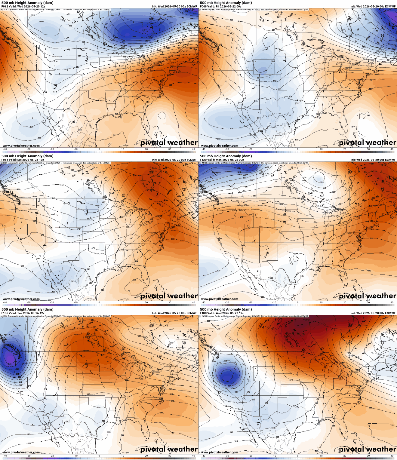
The warmer pattern developing over the weekend is the result of an upper-level high pressure ridge of warmth building into central North America by later in the weekend and next week.
Next week looks summerlike with highs mostly in the 80s and 70s with dry weather and a fair amount of sunshine. Most of our forecast models have us reaching 90 degrees at some point in the next seven to 14 days.


