
Memorial Day weekend: Rain ends early; brighter, warmer Sunday and Monday

Go Deeper.
Create an account or log in to save stories.
Like this?
Thanks for liking this story! We have added it to a list of your favorite stories.


Rain across southern Minnesota Friday will expand statewide into Friday night and early Saturday. Brighter and warmer conditions prevail Sunday and Monday into next week.
Rain showers into Friday night, then a warmup
Scattered rain showers will continue to develop and expand north and northeast slowly through the day Friday. We’ll have spotty morning showers in eastern Minnesota and the Twin Cities with a steady rain developing west.
We’ll see more showers overnight in eastern Minnesota while the system exits to the north and northeast.
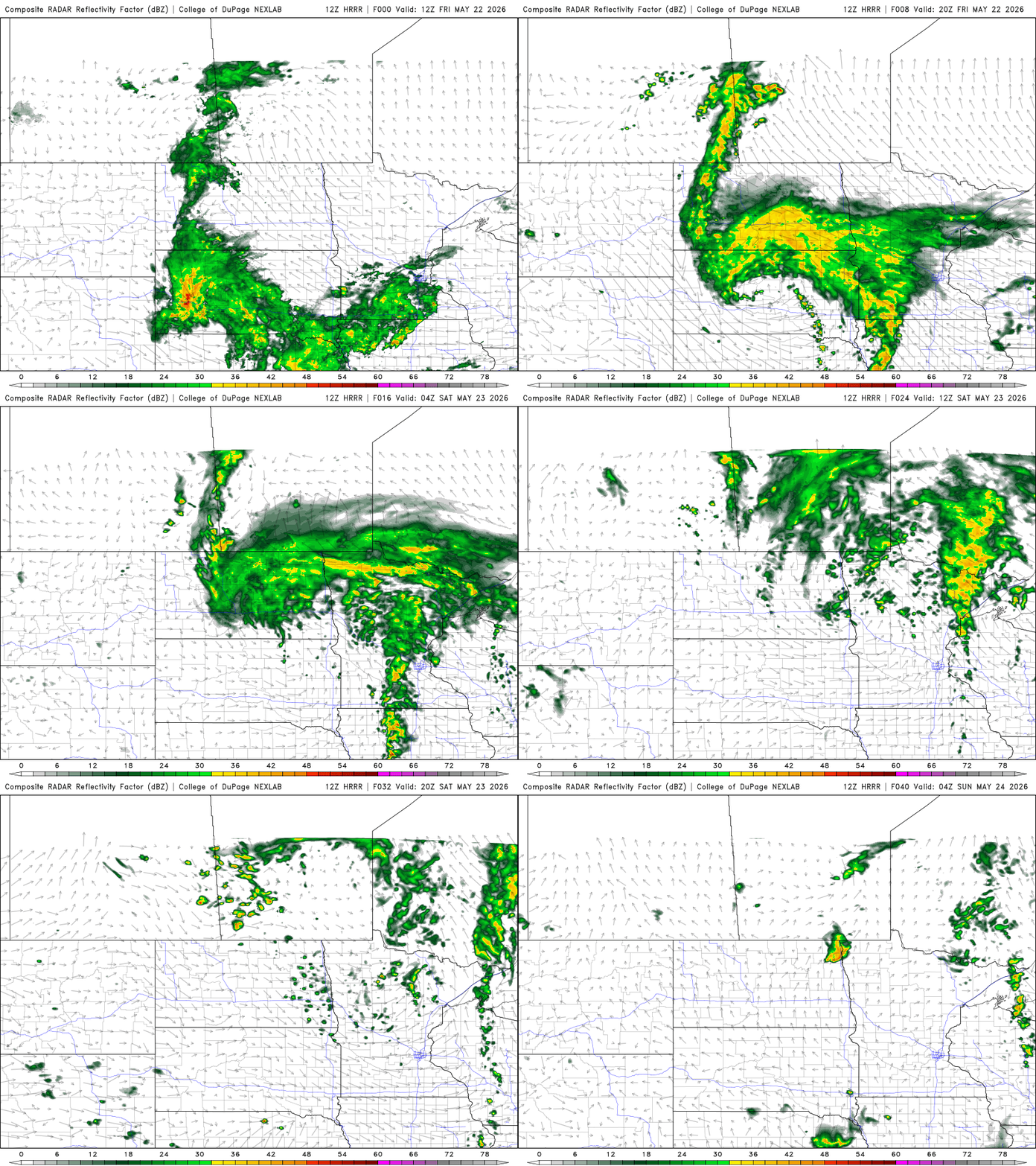
Rainfall totals will be heaviest as a result in western Minnesota with considerably lighter amounts in the eastern part of the state. Most rain looks to wrap up Saturday morning.
Turn Up Your Support
MPR News helps you turn down the noise and build shared understanding. Turn up your support for this public resource and keep trusted journalism accessible to all.
Temperatures will be cooler than normal again, especially in western Minnesota where temperatures likely will remain in the 50s.

Clouds will slowly decrease Saturday with the most sun breaking out in southwestern Minnesota into the afternoon hours. As a result, temperatures will start warm up just a bit Saturday with highs ranging from near 70 in southern Minnesota to near 60 north.

Sunday and Memorial Day will see brighter skies and much warmer temperatures. Highs will warm into the 70s and even 80s for Monday. While some isolated thunder cannot be ruled out — especially Sunday night — most will remain mainly dry.

Next week looks summerlike with highs in the 80s with potentially some 90-degree highs. In fact, most forecast models have us reaching 90 degrees multiple times within the next 14 days.


