Memorial Day weekend forecast: Rainy start, summery finish
80s return by Sunday

Go Deeper.
Create an account or log in to save stories.
Like this?
Thanks for liking this story! We have added it to a list of your favorite stories.


Memorial Day weekend forecast features a cool, soaking start followed by a warm and increasingly summerlike finish.
Warm, dry weather follows soggy start to holiday weekend
A strong spring storm system moving out of the Rockies will bring widespread rain showers to mainly western Minnesota Friday with periods of moderate to heavy rainfall expected through Friday night. Some rumbles of thunder are possible, but severe weather is not anticipated.
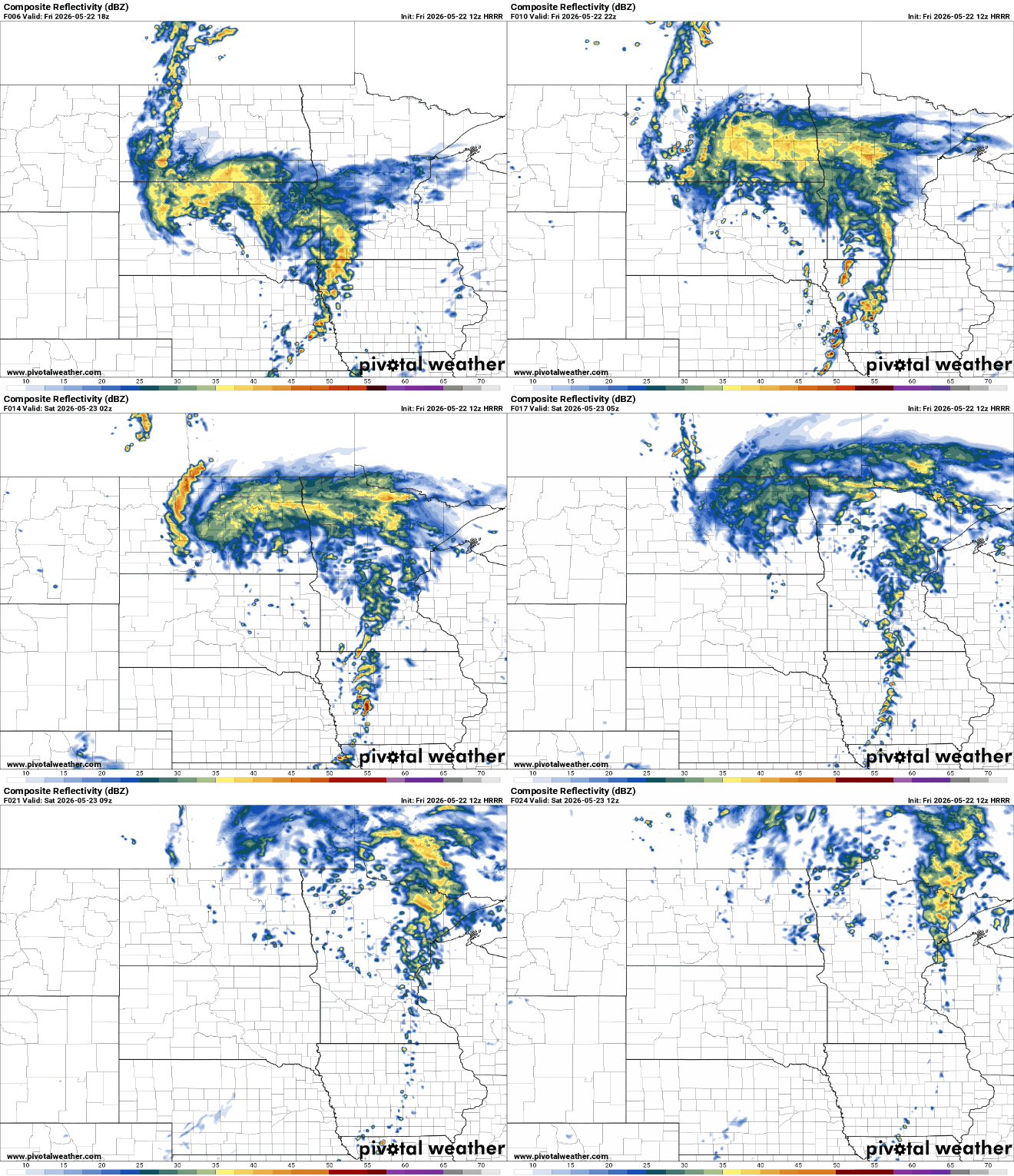
Healthy rainfall amounts of 1 to 1.5 inches are possible across western Minnesota, bringing much-needed moisture to parts of southwestern Minnesota that continue to experience severe drought conditions.

Scattered showers and areas of light rain will continue into early Saturday, especially across eastern Minnesota and western Wisconsin. Rain chances will gradually decrease through the afternoon as the storm system pulls farther into Canada.
Turn Up Your Support
MPR News helps you turn down the noise and build shared understanding. Turn up your support for this public resource and keep trusted journalism accessible to all.
Clouds may linger for much of the day, with highs ranging from the slightly cooler low 60s in northern Minnesota to the low 70s farther south, right around seasonal averages for late May.

The second half of the holiday weekend looks significantly better. By Sunday, the larger storm system will begin moving out of the Upper Midwest, allowing temperatures to rebound quickly. Most areas should stay dry, although a few isolated showers cannot be ruled out.
Our highs for Sunday will climb into the 70s and 80s across the region, providing a much more comfortable and summerlike feel heading into Memorial Day.

Memorial Day itself looks even warmer with highs climbing well into the upper 80s across much of Minnesota. A few locations could even touch 90 degrees, especially in western and southern Minnesota.

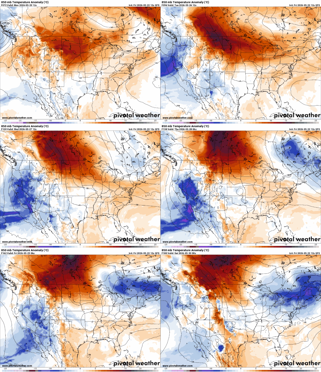
Our warm pattern doesn’t stop after the holiday. Warm and mainly dry weather is expected to continue through much of next week across Minnesota and western Wisconsin.
The hottest days look to be Monday and Tuesday, when temperatures climb into the upper 80s, with a few spots possibly reaching 90 degrees.
By the second half of next week, temperatures should ease slightly back into the lower 80s, but overall conditions will remain pleasant with very limited chances for rain.