
Stubborn cloud cover clears overnight; big warmup on the way
Twin Cities could see first 90 by Tuesday
Go Deeper.
Create an account or log in to save stories.
Like this?
Thanks for liking this story! We have added it to a list of your favorite stories.


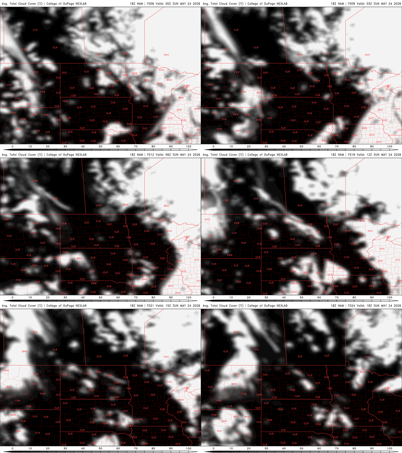
Our stubborn cloud cover lingered across much of Minnesota Saturday afternoon, though clearing has already started to develop in southern Minnesota and around parts of the Twin Cities metro. Those skies should continue to improve through the evening, leading to mostly clear conditions overnight and a calmer start to Sunday.
Low temperatures drop into the low to mid-40s in northern and central Minnesota, with some upper 40s to low 50s for southern portions.

Sunday will bring noticeably warmer temperatures, with highs climbing into the upper 70s and lower 80s for many areas. Increasing clouds develop late in the day ahead of our next weathermaker from the west.

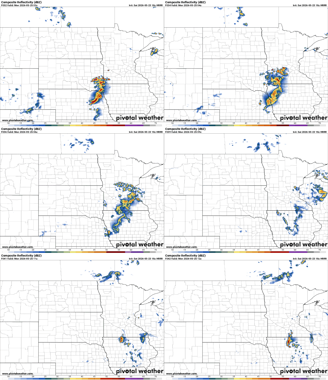
Scattered showers and a few thunderstorms are expected to develop Sunday evening across southern Minnesota before spreading east into western Wisconsin overnight and into Monday morning. There could be some lingering thunderstorms early Monday morning, but a majority of the state will be dry on Memorial Day.
Behind the departing system, a strong warming trend will settle into the region through much of next week.
Tuesday currently looks to be the hottest day of the stretch, with highs potentially reaching the low 90s in portions of southern and central Minnesota.

Turn Up Your Support
MPR News helps you turn down the noise and build shared understanding. Turn up your support for this public resource and keep trusted journalism accessible to all.

