
Warm-up on the way after spotty Saturday showers
Temperatures surge for the second half of the holiday weekend

Go Deeper.
Create an account or log in to save stories.
Like this?
Thanks for liking this story! We have added it to a list of your favorite stories.


A stubborn deck of clouds and a few lingering showers will hang on across northern Minnesota Saturday as a slow-moving cold front continues to drift east. Farther south, skies will gradually brighten through the afternoon with increasing sunshine helping temperatures rebound ahead of a much warmer stretch heading into the second half of Memorial Day weekend.
Lingering clouds with spotty showers
Clouds and scattered showers will linger across northern Minnesota as a slow-moving low pressure system gradually pushes northeast through the Upper Midwest.
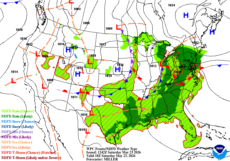
The good news is that once this system moves out, we’re in for a pretty nice stretch of weather for the rest of the Memorial Day weekend.
Clouds lingering across northern Minnesota will keep temperatures cooler, with highs in the low 60s, while areas farther south will see increasing sunshine and temperatures warming into the low 70s this afternoon.
Turn Up Your Support
MPR News helps you turn down the noise and build shared understanding. Turn up your support for this public resource and keep trusted journalism accessible to all.

A few pop-up afternoon showers are possible across central and northern Minnesota Saturday, but they’ll be isolated and brief, nothing that should get in the way of any holiday weekend plans.
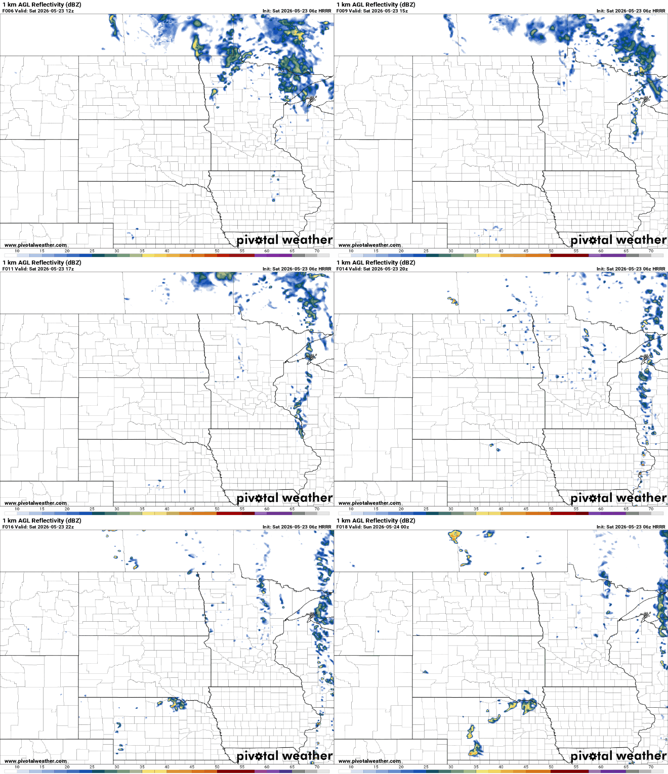
Temperatures will start climbing Sunday as southerly winds return to the Upper Midwest. Afternoon highs will jump into the 80s Sunday, with many locations warming into the upper 80s to near 90 degrees by Memorial Day and Tuesday.


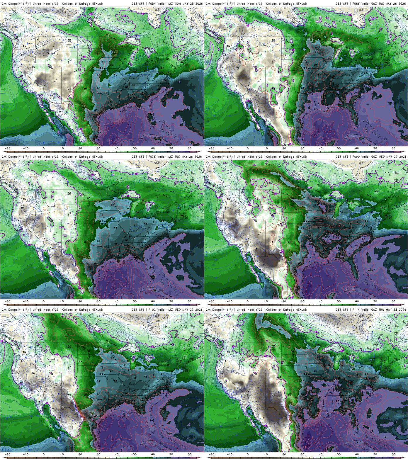
Moisture will also start building back in as air from the Gulf pushes north, with dew points rising into the 50s and 60s and a more humid feel returning.
Rain opportunities look few and far between for much of the upcoming week. The best chance for scattered showers or thunderstorms appears to arrive Sunday night into Memorial Day, mainly from southern Minnesota into western Wisconsin.

