
Heating up for Sunday; storm chances return Sunday night
Temperatures run 10-20 degrees above average next week

Go Deeper.
Create an account or log in to save stories.
Like this?
Thanks for liking this story! We have added it to a list of your favorite stories.


Summerlike warmth and sunshine for our Sunday, with thunderstorm chances returning Sunday night into early Memorial Day.
Morning fog clears; sunshine and 80s ahead
Areas of fog splattered across the state early Sunday, particularly heavy in northeastern Minnesota, where a dense fog advisory continues until 10 a.m.

Once the fog lifts, a beautiful Sunday sets in with high pressure and temperatures warming into the upper 70s to low 80s.

Scattered thunderstorms are expected to develop Sunday night from southwest into central Minnesota before spreading eastward into southeast Minnesota and western Wisconsin overnight into Monday morning. While a few storms may produce brief downpours and lightning, the overall severe weather threat appears low.
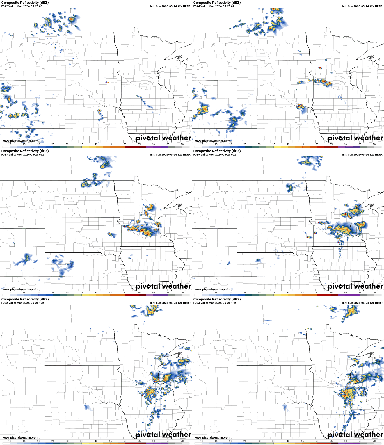
Warmer air builds into the Upper Midwest by Memorial Day afternoon. Highs Monday will push into the upper 80s in many areas, accompanied by increasing humidity.

The hottest weather of the week will occur on Tuesday, when the Twin Cities could see its first 90 degree reading of the year.
Turn Up Your Support
MPR News helps you turn down the noise and build shared understanding. Turn up your support for this public resource and keep trusted journalism accessible to all.

