
High pressure dominates next several days
Dry weather and above-normal temperatures persist
Go Deeper.
Create an account or log in to save stories.
Like this?
Thanks for liking this story! We have added it to a list of your favorite stories.


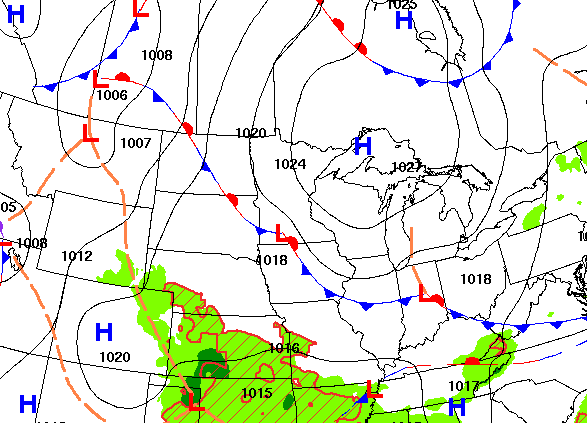
High pressure will be the dominant weather feature into next week. That means warmer and drier-than-normal conditions persisting for the foreseeable future.
Lots of sun, dry weather and warmer-than-normal temperatures
Our weak, backdoor cool front has stalled out in western Minnesota, but it has dropped dew points and temperatures ever so slightly for those of us in the eastern part of the state. We’ll see highs still near 90 degrees in western Minnesota while eastern Minnesota will be mainly in the 80s with 70s in the Arrowhead and cooler readings near Lake Superior.

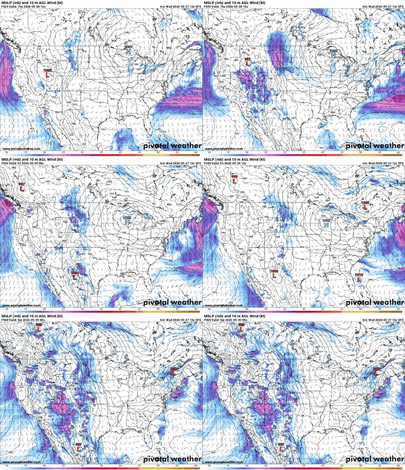
We’ll also have lots of sunshine Thursday and into the weekend and early next week as high pressure centered over Lake Superior and Wisconsin dominates the region for several or more days. The sun will become more hazy and filtered as high clouds start to move in Friday into the weekend.
Temperatures will heat back up already Friday with upper 80s and low 90s again for many areas of Minnesota. To escape the heat, you’ll have to head to Lake Superior in the coming days.

The above-normal-temperatures will continue right into next week with highs mostly in the 80s and some occasional 90-degree readings — especially for the western portions of Minnesota.

The dominant weather feature this week and into the weekend is an upper level high pressure area or ‘heat dome.’ It’s stuck largely in place with two large, cool upper level lows in the southwest and in eastern Canada. This is a quasi-Omega block (from the Greek letter which looks like a W). It’s keeping most rainfall just off to our west, for now. It also keeps well-above-normal temperatures in place.
It’s already drier than normal for most of Minnesota, but we’ll continue to see those rainfall deficits grow with the dry weather and strong sunshine. Rainfall forecast for the next several days is meager or nonexistent for most of Minnesota. Western Minnesota may get some showers and thunder to develop over the weekend as the upper level high or ‘heat dome’ starts to temporarily recede. Forecast models are mixed however on this scenario and it looks unlikely much will reach eastern Minnesota until perhaps mid to late next week.

Turn Up Your Support
MPR News helps you turn down the noise and build shared understanding. Turn up your support for this public resource and keep trusted journalism accessible to all.

