
Warm weekend forecast; spotty showers remain west
80s this weekend with more heat possible

Go Deeper.
Create an account or log in to save stories.
Like this?
Thanks for liking this story! We have added it to a list of your favorite stories.


Warm temperatures continue into the weekend with spotty showers remaining out west. While the state remains mostly dry, rain chances return by midweek to help chip away at drought conditions.
Spotty showers remain out west
A stationary front draped across western Minnesota will remain the focal point for scattered showers and thunderstorms through Saturday and Sunday.
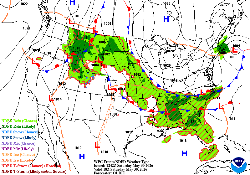
A large area of high pressure centered near Hudson Bay will keep the best chances for showers and thunderstorms confined to western Minnesota through the weekend.
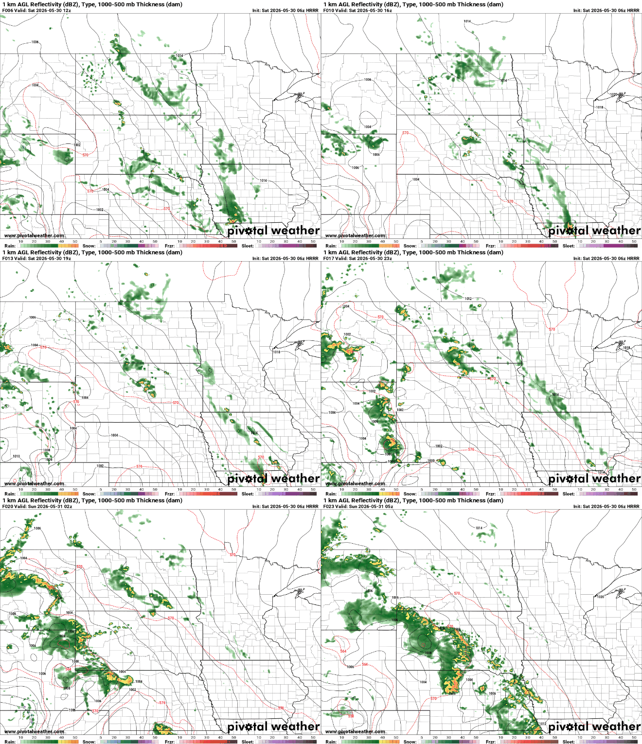
Meanwhile, eastern Minnesota will enjoy a largely dry and comfortable weekend. Easterly winds will help keep humidity levels in check, with dew points remaining in the 50s and afternoon temperatures climbing into the low and mid-80s.
Turn Up Your Support
MPR News helps you turn down the noise and build shared understanding. Turn up your support for this public resource and keep trusted journalism accessible to all.
A change in the forecast comes midweek as forecast models continue to highlight Wednesday through early Friday as the next opportunity for more widespread rainfall across Minnesota.
The next question is whether the midweek storm chances can begin to chip away at the rainfall deficits over the past 30 days.

The map above shows observed precipitation totals over the past 30 days, and the dry signal is hard to miss. Much of Minnesota has picked up only one to two inches of rain during the last month, with some areas receiving even less. Despite southern Minnesota seeing higher amounts, widespread soaking rains have been difficult to come by.
While rain chances may increase next week, the warmth isn't going anywhere. Above-average temperatures are forecast to persist into early June, and forecast guidance hints at the potential for even greater heat beyond the first week of the month.
The Climate Prediction Center has already placed parts of the Upper Midwest in an area highlighting the potential for excessive heat, a sign that summer may be arriving in full force sooner rather than later.


