
Rainy start to meteorological summer; summer-like temperatures persist
Midweek brings another chance for needed rainfall
Go Deeper.
Create an account or log in to save stories.
Like this?
Thanks for liking this story! We have added it to a list of your favorite stories.


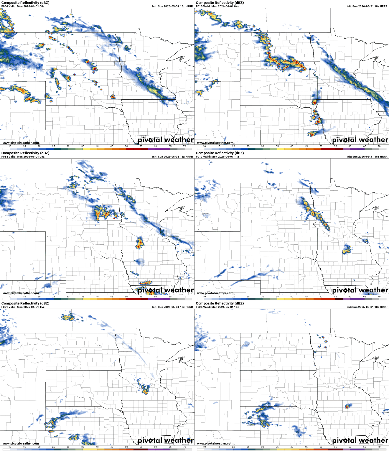
Scattered showers and isolated thunderstorms continuing through Monday before a more organized rain event arrives later in the week. Temperatures running warm through start of June.
Rainy start to meteorological summer
Meteorological summer is off to a wet start across the Upper Midwest, with scattered showers and isolated thunderstorms expected to continue through Monday. While rainfall coverage becomes more limited early in the week, another round of more widespread and beneficial rainfall is increasingly likely from Wednesday into Thursday. Despite the unsettled pattern at times, temperatures will continue running above normal through the first week of June.
On Monday, shower and thunderstorm coverage is expected to decrease as the main storm system shifts farther west. A few isolated showers or thunderstorms may still develop during the afternoon, especially across western Minnesota.
Temperatures through the week will remain above-average in the upper 70s and mid 80s.
Turn Up Your Support
MPR News helps you turn down the noise and build shared understanding. Turn up your support for this public resource and keep trusted journalism accessible to all.

Tuesday and much of Wednesday look to be the most pleasant stretch of the forecast. High pressure aloft will promote warmer and generally drier conditions across the region.
With many areas still running below normal on rainfall heading into meteorological summer, a significant pattern change could unfold by late Wednesday as a stronger weather system moves east across the northern United States, bringing the potential for widespread beneficial rainfall.
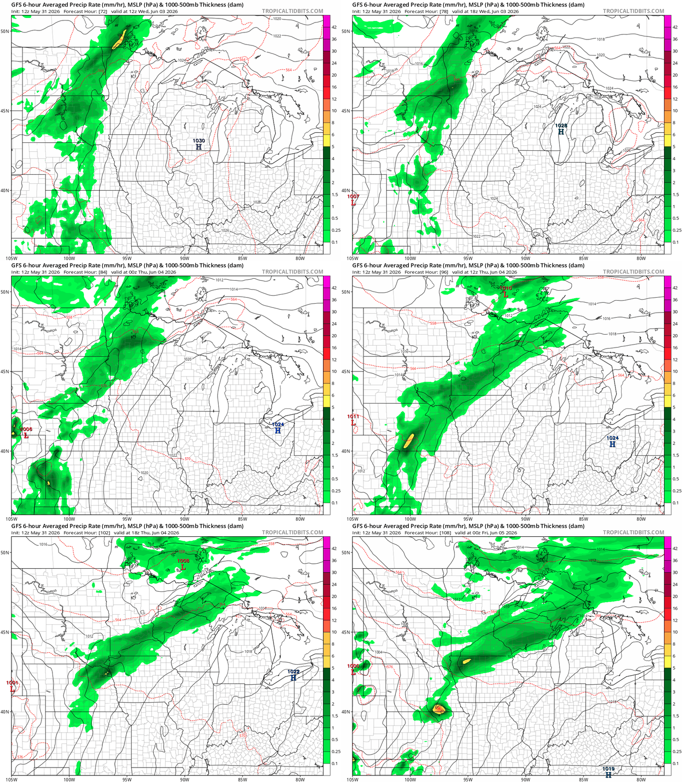
As a cold front advances through the Upper Midwest, confidence is increasing in a widespread rainfall event from Wednesday evening through early Thursday. Forecast guidance continues to support a broad area of precipitation, with many locations expected to receive between one-quarter and three-quarters of an inch of rain.
This system could provide beneficial rainfall for much of the region, though exact amounts will become clearer as the event approaches.
Looking beyond the midweek rain, the overall weather pattern favors continued warmth through the first half of June.

