
Warm week ahead with opportunities for rainfall
Temperatures continue running 10 degrees above average

Go Deeper.
Create an account or log in to save stories.
Like this?
Thanks for liking this story! We have added it to a list of your favorite stories.


Clouds will be a bit more noticeable across the southern two-thirds of Minnesota on Sunday, along with increasing chances for rain. Areas of beneficial showers are expected through the day, bringing some much-needed relief to our increasingly dry landscape.
Welcome showers for Sunday, more rain chances midweek
An energetic upper-level shortwave currently moving through the central Rockies will bring some much-needed moisture relief to portions of the state.
As this disturbance gradually shifts eastward, it will generate periods of showers and thunderstorms across mainly southern and western Minnesota through Sunday night, helping to ease some of the recent dryness.
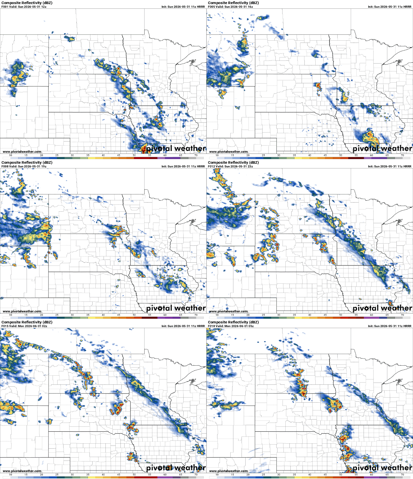
Temperatures will be warmest across northern Minnesota, where increased sunshine will help push highs into the lower and middle 80s. Farther south, more cloud cover will keep temperatures in the middle to upper 70s. Humidity levels will remain relatively comfortable, with dew points generally in the 50s, though a few locations in southwestern Minnesota may see dew points climb into the lower 60s.
Turn Up Your Support
MPR News helps you turn down the noise and build shared understanding. Turn up your support for this public resource and keep trusted journalism accessible to all.

By Monday, rain chances will gradually diminish as the storm system lifts into Canada. High pressure will take over and bring a quiet, sunny Tuesday and most of Wednesday with light winds and afternoon temperatures back in the upper 70s to low 80s.
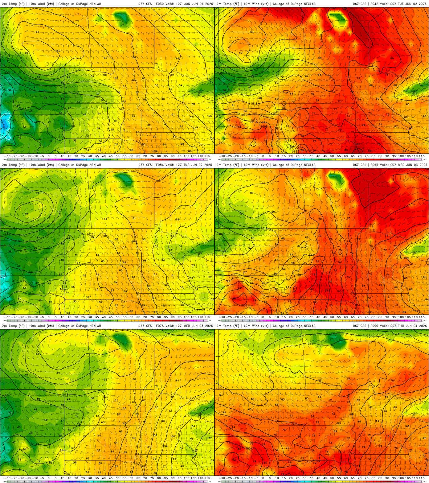
The next weather maker arrives during the second half of the week. Southerly winds will increase Wednesday, bringing some additional moisture into the Upper Midwest.
A cold front is expected to settle across Minnesota and Wisconsin from Thursday into Friday, bringing several rounds of showers and possibly a few thunderstorms.
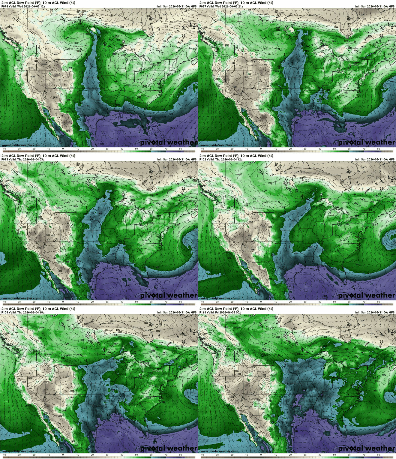
At this time, Thursday appears to offer the highest chance for widespread rainfall. Forecast rainfall totals generally range from one-quarter to three-quarters of an inch, though isolated locations could pick up over an inch where showers repeatedly track over the same area.


