
Spotty showers Monday with better chances later this week
Overall warmer-than-normal temperatures continue

Go Deeper.
Create an account or log in to save stories.
Like this?
Thanks for liking this story! We have added it to a list of your favorite stories.


The pattern remains very warm with temperatures averaging 5 to 10 degrees above normal through the week. We’ll have spotty showers Monday with better chances later in the week.
Spotty showers Monday with better chances Wednesday night into Thursday
A few lucky places saw significant rainfall Sunday night. Many areas saw rainfall, but there was a bull’s-eye in the Twin Cities metro of 1 to 2 inches of rainfall in the Roseville-New Brighton- Coon Rapids area.

More broadly, much of central and southern Minnesota saw at least some rainfall with most amounts less than one-half inch.

Consider yourself lucky if you receive some additional showers or thunder Monday. There will be spotty chance of rain and thunder, especially in central and western Minnesota, closer to a nearly stationary low.
Turn Up Your Support
MPR News helps you turn down the noise and build shared understanding. Turn up your support for this public resource and keep trusted journalism accessible to all.
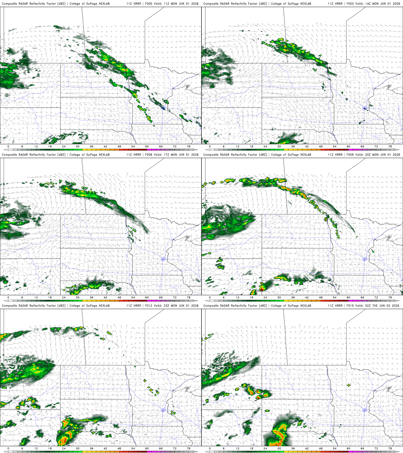
Temperatures will be in the 70s and 80s again Monday afternoon, still a bit above normal. We’ll still have some scattered areas of mid- and high-level cloud cover keeping temperatures a little cooler in central and southern Minnesota.

Temperatures will warm a bit more Tuesday as we see clearer skies. Highs will be in the 80s pretty much statewide except near Lake Superior.

A clipper-type, upper-level disturbance and weak cool front moves through the region late Wednesday into Thursday with another disturbance behind it for Friday. It will deliver the next best chance at widespread scattered showers and thunderstorms.
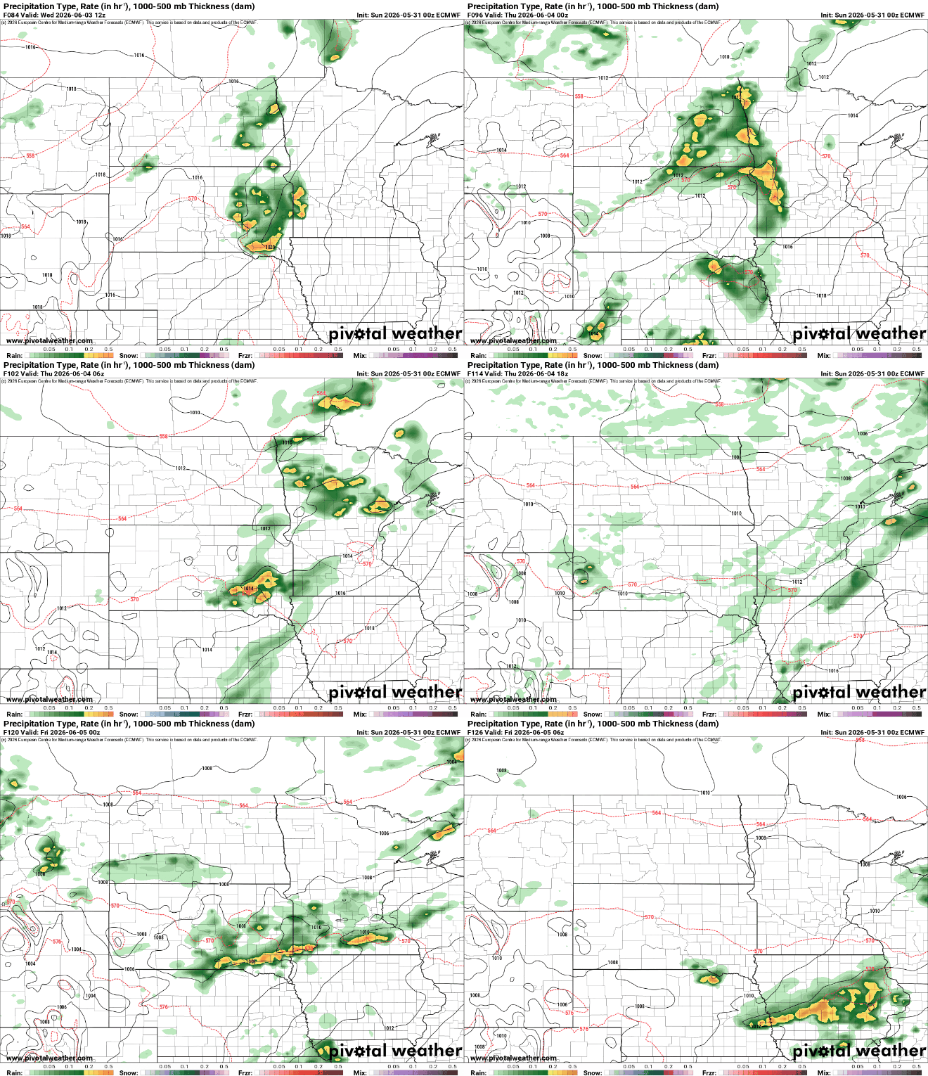
While not necessarily a deficit-erasing rainfall, it could deliver at least some needed rain. Most forecast models deliver less than one-half inch through early Friday, but there will be some locally higher amounts possible with thunderstorms.
Overall, we remain warm through the week into the weekend with temperatures potentially trending upward into “hot territory” by the weekend into early next week.

