
High pressure brings sunshine Tuesday ahead of late-week thunder chances
Overall temperatures remain above normal
Go Deeper.
Create an account or log in to save stories.
Like this?
Thanks for liking this story! We have added it to a list of your favorite stories.


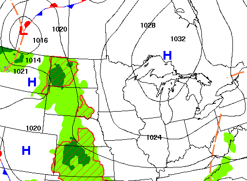
High pressure brings abundant sunshine Tuesday into the start of Wednesday. We’re still tracking hopeful rain and thunder chances for Wednesday night into Thursday and Friday.
High pressure brings sunshine Tuesday ahead of late week rain, thunder chances
Very dry air is not helping the fire situation in the Ely area. You can see on satellite imagery late Monday afternoon the smoke plume from the Birch Bay fire.

Dew points have been much drier recently in northeastern Minnesota compared to southern Minnesota.
While we had dew points near 60 degrees in the Twin Cities Monday, they were only in the 30s in northeastern Minnesota. That meant relative humidity values were in the 15 to 20-percent range north compared to more than 50 percent in the Twin Cities.
Turn Up Your Support
MPR News helps you turn down the noise and build shared understanding. Turn up your support for this public resource and keep trusted journalism accessible to all.
Relative humidity will drop into the 10 to 20 percent range Tuesday afternoon but winds will be light.

It’ll be a gorgeous, sun-filled Tuesday thanks to high pressure settling in over the Great Lakes. Look for highs back in the 80s for most with some slightly cooler readings near the Minnesota, Iowa border.

Wednesday will start out with sunshine and will be another pretty nice day for eastern Minnesota. High temps will again be back in the 80s and dew points will tick up slightly, back into the low 60s in western Minnesota.

Clouds will increase to the west Wednesday with some showers and thunder possible late in the day and evening in western Minnesota. We’ll see at least widely scattered showers and thunderstorms Wednesday night into Thursday move across the state.
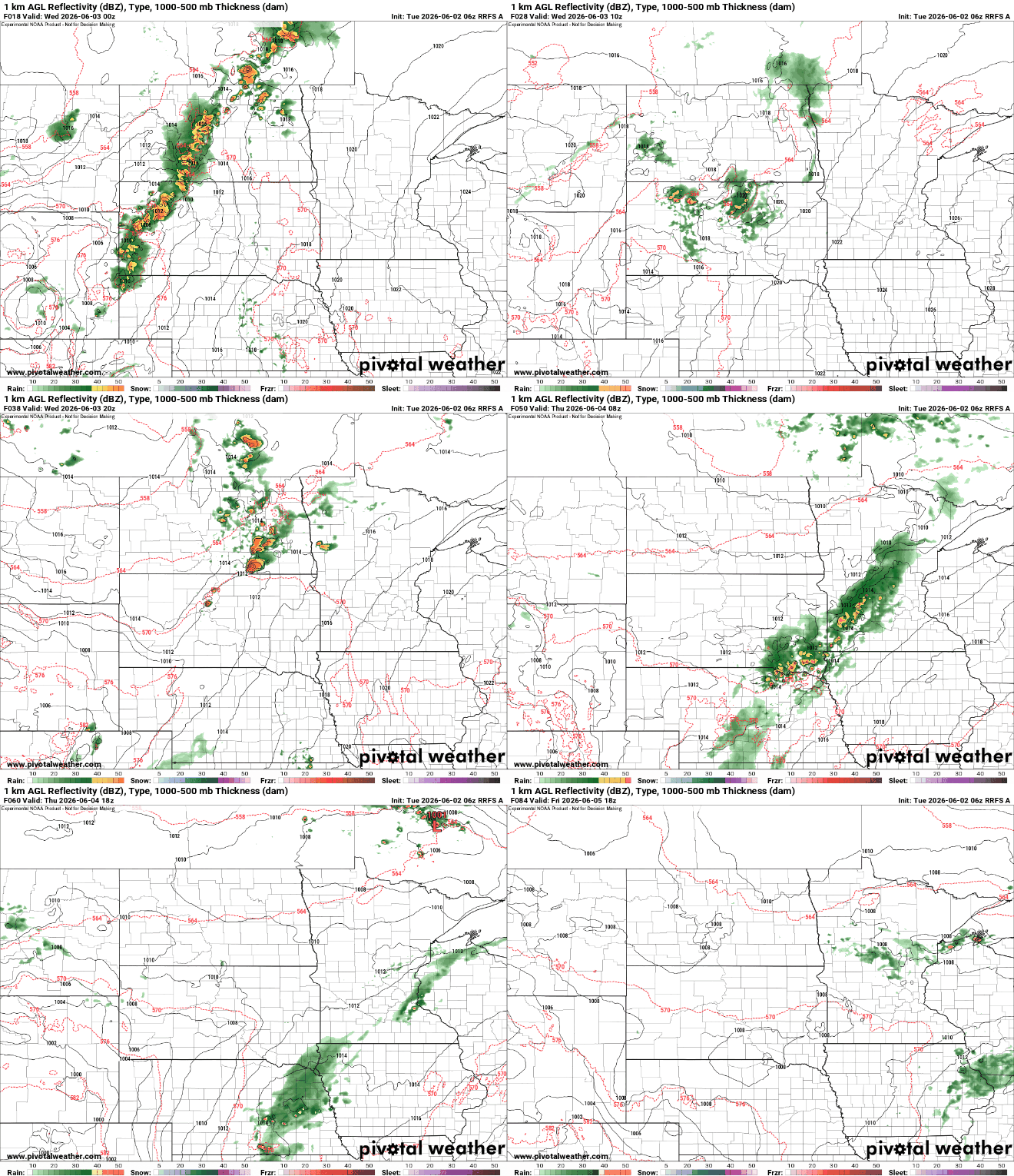
Chances of at least spotty showers and thunder linger into Friday and Saturday. Total rainfall through Friday could be decent for some areas, especially in western Minnesota.

There could even be some strong to severe storms mainly in western Minnesota late Wednesday and across southern Minnesota late Thursday. The risk is greatest west.

Temperatures will remain mostly above normal through the rest of this week into the weekend. There are some indications that next week could be heating up.

