
More spotty storms Friday then a warm, mostly dry weekend
Potentially stormy and hotter next week
Go Deeper.
Create an account or log in to save stories.
Like this?
Thanks for liking this story! We have added it to a list of your favorite stories.


Look for more spotty thunderstorms Friday with a mix of clouds and sun. The weekend will be mainly dry and very warm. More stormy and hot weather is on tap for next week.
Spotty storms Friday; weekend’s mostly dry
The rains have been feast or famine the last few days. Some lucky spots in western Minnesota have seen more than a couple of inches of very localized rainfall.
Portions of the southeast Twin Cities metro area along with southeastern Minnesota into western Wisconsin have seen little measurable rain.

We need at least 1 inch of rain per week this time of year to keep up with normal rainfall levels.
Turn Up Your Support
MPR News helps you turn down the noise and build shared understanding. Turn up your support for this public resource and keep trusted journalism accessible to all.
Most of the state is carrying over deficits from May of 1 to 3 inches. Only western Minnesota saw adequate or even a bit of surplus rainfall this week. Most of northern and eastern Minnesota saw deficits grow over the past seven days.

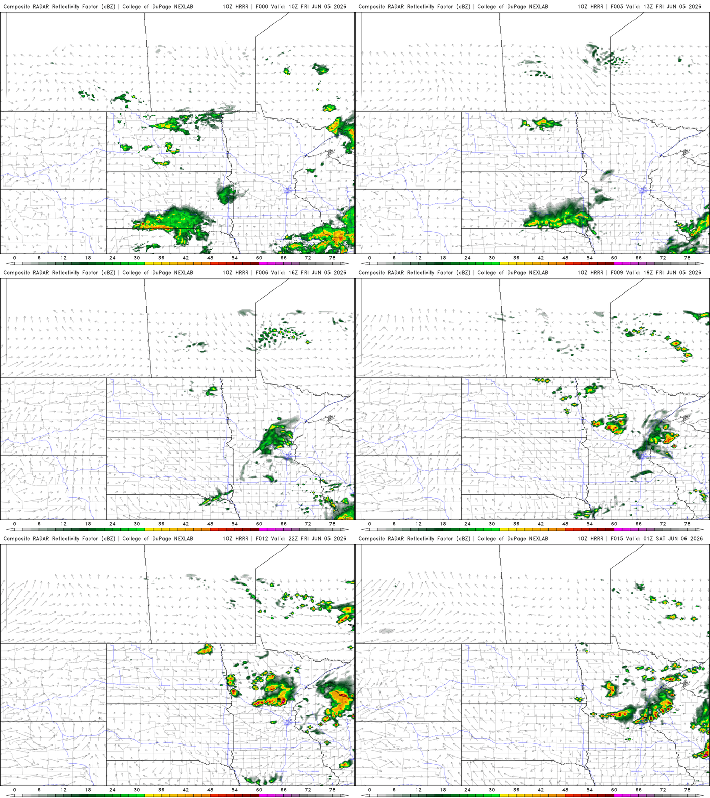
A slowly moving cool front and just a bit of sunshine and lingering muggy dew points in central and southern Minnesota will once again create spotty thunderstorm development across central and southern Minnesota Friday.
An isolated storm could be strong or severe in southern Minnesota. There’s a marginal risk (level 1of 5) forecast for central and southern Minnesota Friday.

With a sun-cloud mix, temperatures will warm back into the 80s for most, especially in southern Minnesota.

The unsettled weather largely moves on for the weekend. We’ll see brighter skies and very warm conditions Saturday and Sunday. Sunday may yield some isolated storms in southern Minnesota late in the day.

Next week is looking hotter with some potential storm chances.
We’ll be on the western edge of a developing upper-level high-pressure area or “heat dome.” That is the ideal location, in southwest flow aloft, to produce some chances of storms in addition to some pretty hot weather mid to late week.

The potential for severe weather, especially midweek, will need to be monitored next week. Already some experimental modeling focuses on Wednesday for strong or severe storms.

We’ll likely see at least a couple days with widespread highs in the 90s in Minnesota by mid to late week next week.


