
Air quality concerns, rain returns
Summer heat on the way with triple digit indices possible

Go Deeper.
Create an account or log in to save stories.
Like this?
Thanks for liking this story! We have added it to a list of your favorite stories.


An air quality alert remains in effect across much of Minnesota through Sunday evening as elevated ground-level ozone levels create unhealthy conditions for sensitive groups. Beyond the air quality concerns, rain chances return late Sunday into Monday before summer heat and humidity arrive in full force by the middle of next week.
Air quality alert remains in effect through Sunday evening
While sunny skies and temperatures in the low to mid-80s have made for an enjoyable start to the weekend, an air quality alert has been issued for the southern two-thirds of Minnesota through Sunday evening.
The dry weather won't last long. Clouds will increase across southern Minnesota late Saturday night as a weather system lifts northward from the southern Plains.
Showers and a few thunderstorms are expected to develop by late Sunday morning near the Interstate 90 corridor before gradually expanding northward toward Interstate 94 during the afternoon. The highest chances for rainfall will remain across southern Minnesota throughout the day.
Turn Up Your Support
MPR News helps you turn down the noise and build shared understanding. Turn up your support for this public resource and keep trusted journalism accessible to all.
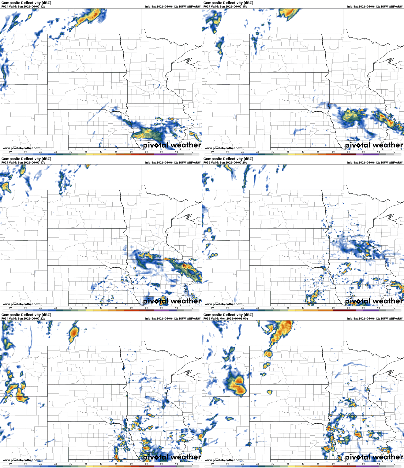
A second, stronger weather disturbance arriving from the Pacific Northwest Sunday night into Monday will bring more widespread showers and scattered thunderstorms across the region.
Severe weather is not expected with this system, but the atmosphere will contain plenty of moisture, allowing for periods of heavier rainfall and localized downpours.
By the middle of next week, a tropical airmass will settle into the Upper Midwest, sending temperatures into the 90s while dew points climb into the upper 60s and lower 70s. The combination of heat and humidity will make conditions feel noticeably sticky and uncomfortable.
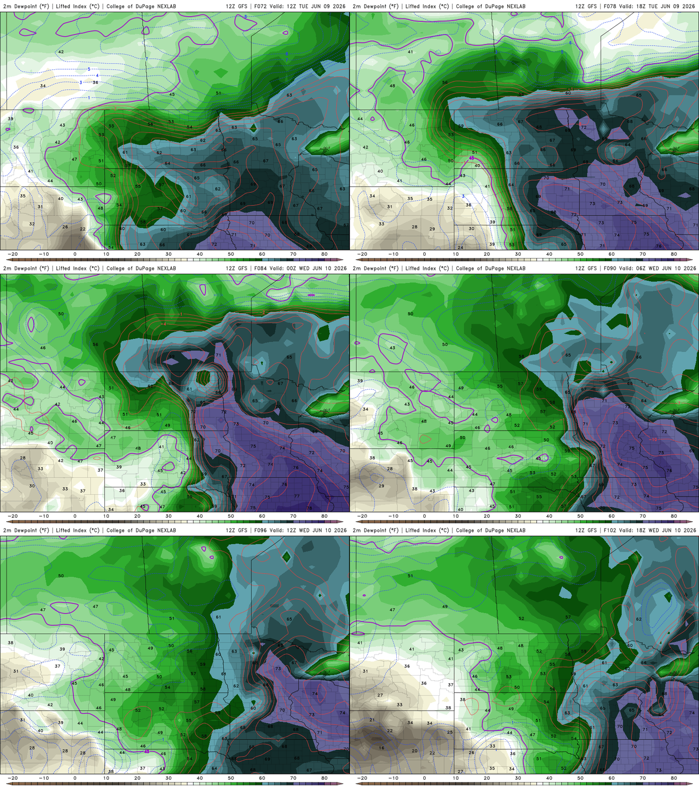
Heat index values could climb into the triple digits, potentially leading to the first heat-related headlines of the season.
We'll also be keeping a watchful eye on Wednesday night's forecast. The Storm Prediction Center has highlighted portions of the Upper Midwest in a slight risk area for severe weather, but several forecast details still need to come into focus. As always, we'll be tracking the latest trends and keeping a close eye on next week's system.


