
Warm weekend weather gives way to late Sunday rain chances
Blast of summer heat expected midweek

Go Deeper.
Create an account or log in to save stories.
Like this?
Thanks for liking this story! We have added it to a list of your favorite stories.


It’s shaping up to be a sunny and warm weekend across the region before rain chances return late Sunday night.
Warm weekend ahead with rain chances returning late Sunday
Friday’s rainfall provided a welcome dose of moisture for parts of the region, though totals varied significantly from one county to the next. As the graphic below shows, some areas picked up beneficial rainfall, including Alexandria, Little Falls, Pequot Lakes, and portions of the northern Twin Cities metro, while other locations saw only light amounts or missed out altogether.

The start to the weekend will feature dry and warm conditions as high pressure remains in control over the Great Lakes region.
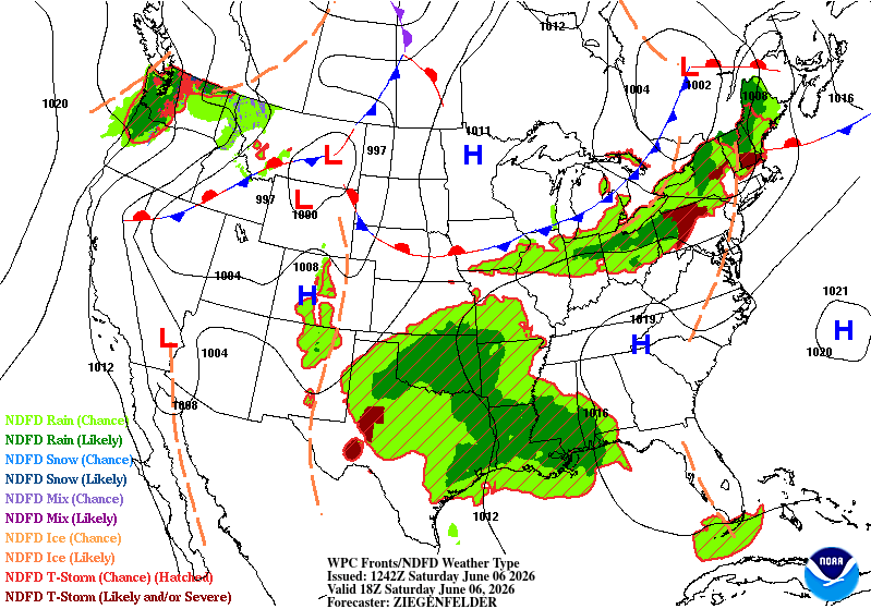
Temperatures will continue to run above average, with highs in the mid to upper 80s expected under plenty of sunshine and light winds.
Turn Up Your Support
MPR News helps you turn down the noise and build shared understanding. Turn up your support for this public resource and keep trusted journalism accessible to all.

Parts of northern Minnesota are under a fire weather watch for Sunday as dry vegetation, low humidity, and increasing winds create favorable conditions for rapid fire growth.

Temperatures on Sunday will rise into the upper 80s and lower 90s across the region, with northern Minnesota expected to see the most widespread 90-degree readings.
Meanwhile, the Twin Cities is still waiting for its first 90-degree temperature of 2026, though Sunday's warmth could bring the metro close.

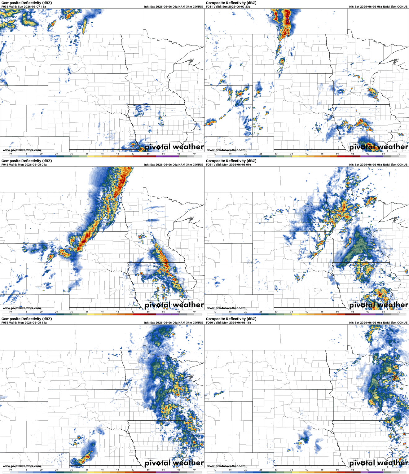
After weeks of dry conditions, relief may finally be on the horizon for our drought-stricken landscape as rain chances increase late Sunday into next week.
Another round of showers and thunderstorms is expected to develop late Sunday and continue into Monday, bringing the potential for locally beneficial rainfall across portions of Minnesota.
Rainfall amounts will vary considerably, but some locations could receive up to a half inch of rain, with locally higher totals possible.
Looking ahead, a dramatic warm-up is expected by the middle of next week. Temperatures are forecast to climb into the 90s by Wednesday, and with dew points rising into the 70s, heat index values could exceed 100 degrees.

A cold front arriving later Wednesday will bring another chance for thunderstorms and potentially severe weather before cooler, more comfortable conditions return for the latter part of the week.


