
Heavy rains and flash flooding with slow moving storms
Heat continues to build til mid-week

Go Deeper.
Create an account or log in to save stories.
Like this?
Thanks for liking this story! We have added it to a list of your favorite stories.


The calm weather won't last long as heat, humidity and multiple rounds of thunderstorms return to Minnesota over the next several days.
Heavy rains continue into Sunday night
Slow-moving thunderstorms continue to produce heavy rainfall across southeastern Minnesota Sunday afternoon. A flash flood warning remains in effect for northeastern Freeborn County and southeastern Steele County.
As storms continue to develop and move north, additional rounds of heavy rain are possible.
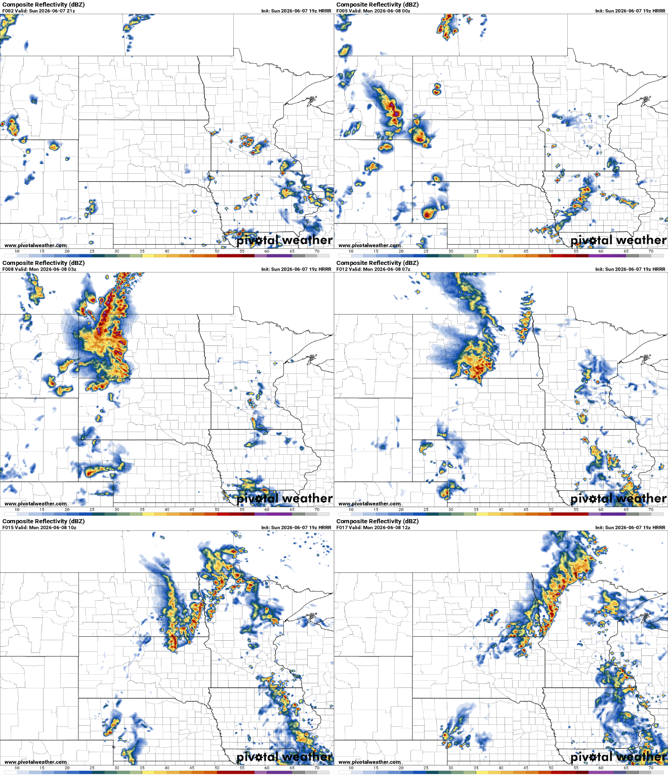
Areas that receive repeated thunderstorms could experience rapid flooding of roads, low-lying areas and small streams. Widespread severe weather is not expected, just frequent lightning and heavy rainfall.
The National Weather Service in the Twin Cities has issued a * Flash Flood Warning for... Northeastern Freeborn County in south central Minnesota... Southeastern Steele County in south central Minnesota... * Until 600 PM CDT. * At 302 PM CDT, Doppler radar indicated thunderstorms producing heavy rain 6 miles northeast of Ellendale, or 11 miles south of Owatonna, moving north at 15 mph. Between 1 and 3 inches of rain have fallen. Additional rainfall amounts up to 2 inches are possible in the warned area. Flash flooding is ongoing or expected to begin shortly.
The active pattern continues through midweek. Additional rounds of thunderstorms are possible Monday night through Wednesday, with the potential for severe weather increasing by Wednesday as a strong cold front moves through the region.

Cooler and drier air arrives Thursday, bringing a welcome break from the heat, humidity, and storm chances.
Turn Up Your Support
MPR News helps you turn down the noise and build shared understanding. Turn up your support for this public resource and keep trusted journalism accessible to all.

