
A stormy and steamy few days ahead
Cooler to end the week
Go Deeper.
Create an account or log in to save stories.
Like this?
Thanks for liking this story! We have added it to a list of your favorite stories.


We’re in for a steamy and stormy few days. We’ll have several chances of storms — some severe — especially Wednesday. It will also be hot and humid before a cool front moves in later in the week.
Hot, humid and stormy with some severe thunderstorm chances
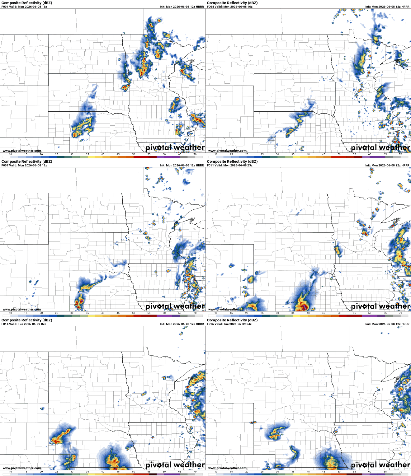
We have some lingering shower and thunderstorm activity Monday morning. Some peeks of midday sun combined with a very muggy air mass will allow for more instability-driven, pop-up showers and thunder Monday afternoon and evening into the overnight.
Highs Monday will be mostly in the 80s with some low 90s where sun pops out in southwestern Minnesota.

Tuesday and Wednesday will be rather hot and humid. Highs both days will be near 90 degrees with mid-90s possible west combined with dew points near 70 degrees.
Turn Up Your Support
MPR News helps you turn down the noise and build shared understanding. Turn up your support for this public resource and keep trusted journalism accessible to all.

Global wet bulb temperature, a better measure of heat stress, will be in the 80s both afternoons. That is a high risk of heat stress — the potential temperature skin can cool to given the sunlight, wind, temperature and dew points.

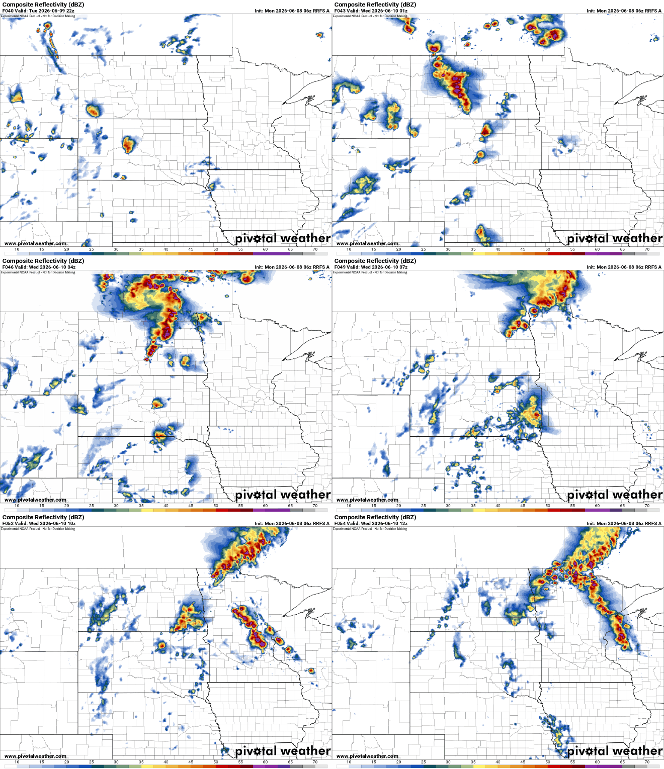
We’ll have more chances of thunderstorms Tuesday night into early Wednesday mainly in northern and western Minnesota. Whatever holds together will move into eastern Minnesota early Wednesday. Tuesday afternoon could also yield isolated activity statewide.
There’s a slight risk (level 2 of 5) for severe storms in western Minnesota Tuesday and Tuesday night with an enhanced risk (level 3 of 5) in northwestern Minnesota.

We’re really focused on late Wednesday as a potent upper-low and cold front combined with lots of heat and moisture could produce a significant severe weather risk. Storms will develop later in the day Wednesday into the overnight Wednesday night.
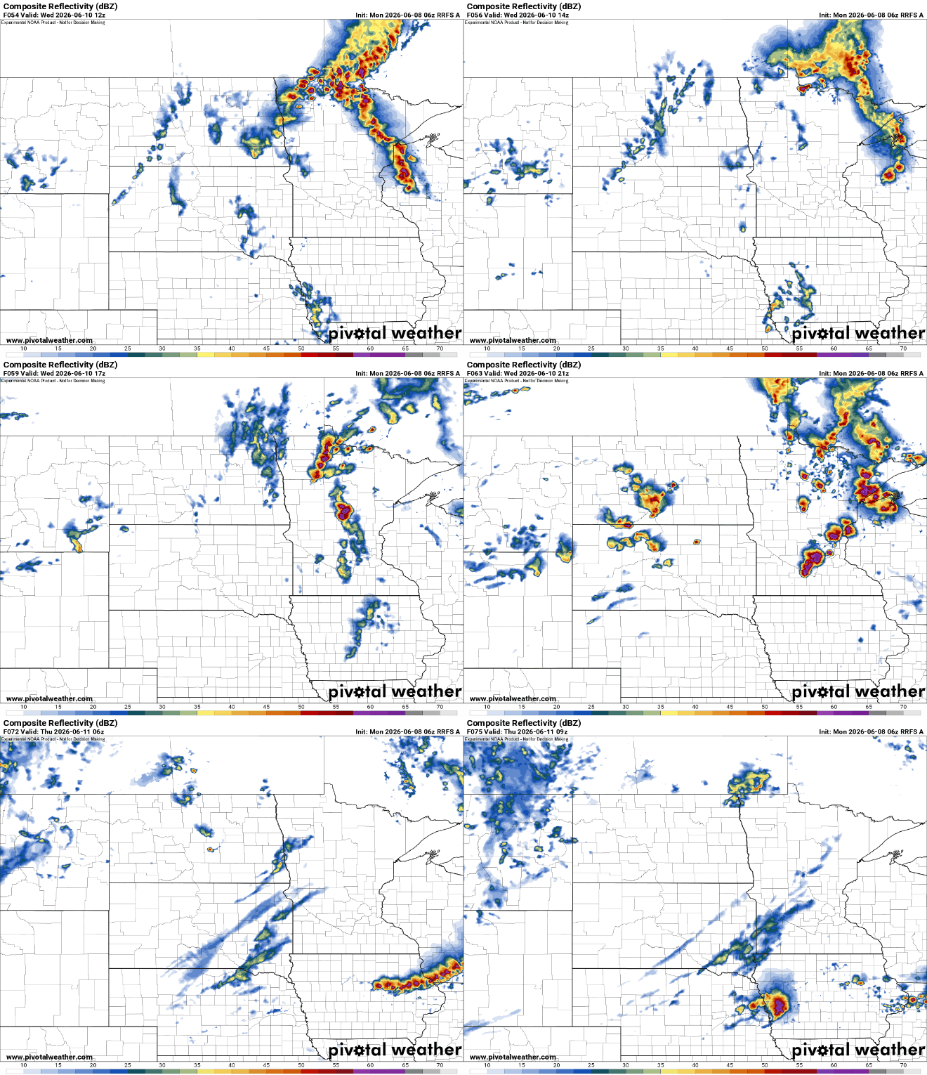
There’s an enhanced risk (level 3 of 5) for severe storms Wednesday into Wednesday night. All hazards are possible from tornadoes to damaging wind gusts and large hail.

Behind the front, temperatures will dip into the 70s and low 80s along with a drop in dew points from a tropical 70 degrees back into the comfortable 50s for Thursday.

