
Severe thunderstorm watch eastern Minnesota into Wisconsin
Drier air and cooler for Thursday

Go Deeper.
Create an account or log in to save stories.
Like this?
Thanks for liking this story! We have added it to a list of your favorite stories.


A second round of storms will develop for the afternoon and evening. Those storms could be strong to severe. Cooler, drier air moves in Wednesday night for the rest of the week.
Another round of potentially severe storms Wednesday afternoon and evening, then cooler Thursday
A severe thunderstorm watch is posted for portions of eastern Minnesota into Wisconsin through 7 p.m. Wednesday.
There were some incredible severe wind gusts earlier in western Minnesota from round one of severe storms.
WIND REPORTS: 83 mph Marietta (1:15 AM), 78 mph Madison, 74 mph Glenwood (2:15 AM), 72 mph Choke, 66 mph Benson, 64 mph Alexandria (2:19 AM), 62 mph Parkers Prairie, 60 mph Morris.

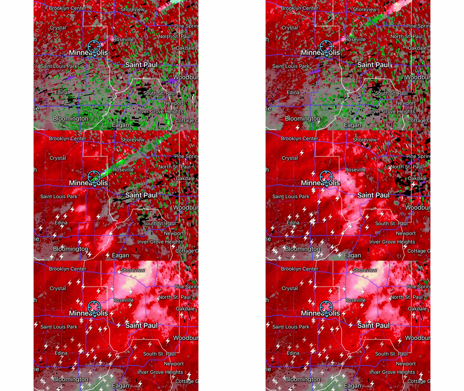
A downburst developed right around 3 a.m. early Wednesday morning in the Twin Cities and pushed through Saint Paul, downing trees.
Turn Up Your Support
MPR News helps you turn down the noise and build shared understanding. Turn up your support for this public resource and keep trusted journalism accessible to all.

You can see on the radar’s velocity the downburst develop. The Minneapolis-St. Paul International Airport clocked a 61 mph wind gust. Those winds continued into Saint Paul and Roseville.
It’s steamy again today with temps warming into the 80s to near 90-degrees along with very high dew points in the 70s. All of that heat and moisture will add energy to the atmosphere.

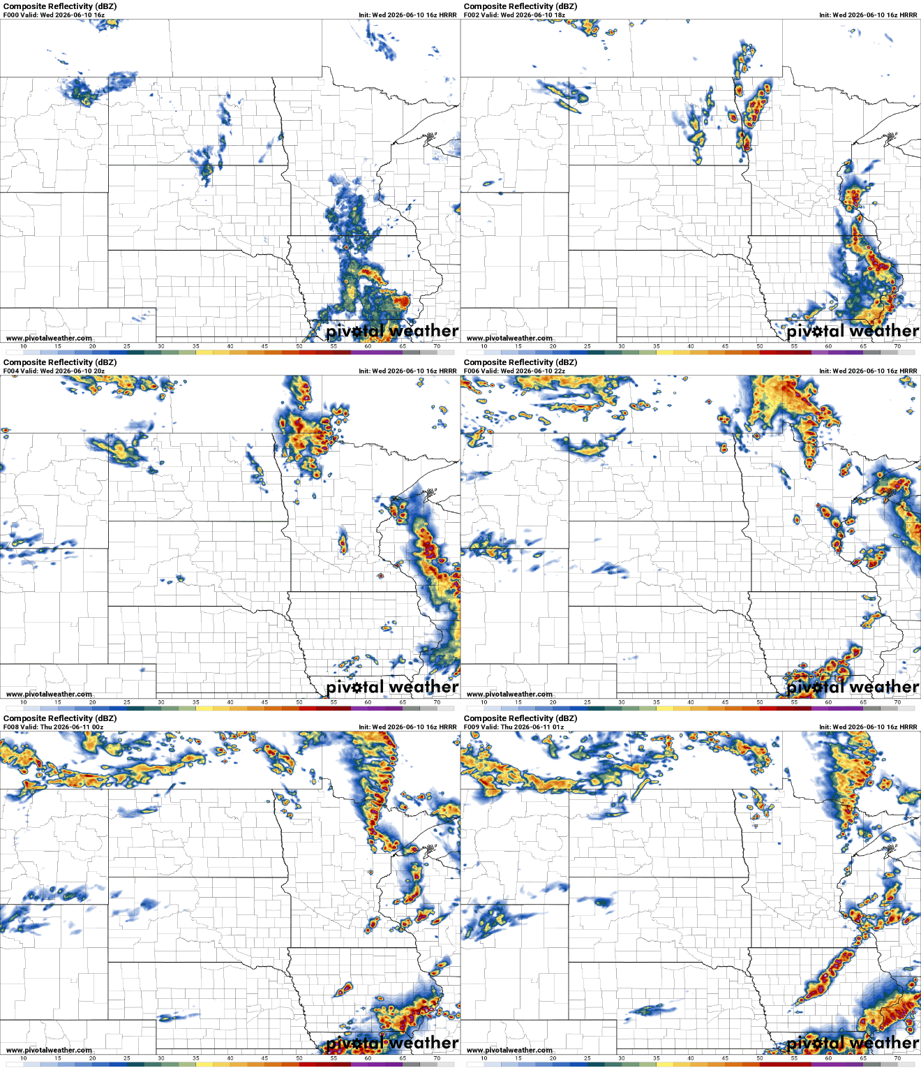
There’s an enhanced risk (level 3 of 5) of severe storms for Wednesday afternoon and evening across portions of eastern Minnesota into Wisconsin. All hazards are possible including isolated tornadoes, damaging wind gusts and large hail.

With a super-charged atmosphere and an advancing cool front, we’ll look for storms to fire up in far eastern portions of the state near and east of I-35, moving into Wisconsin Wednesday afternoon and evening into the overnight hours.
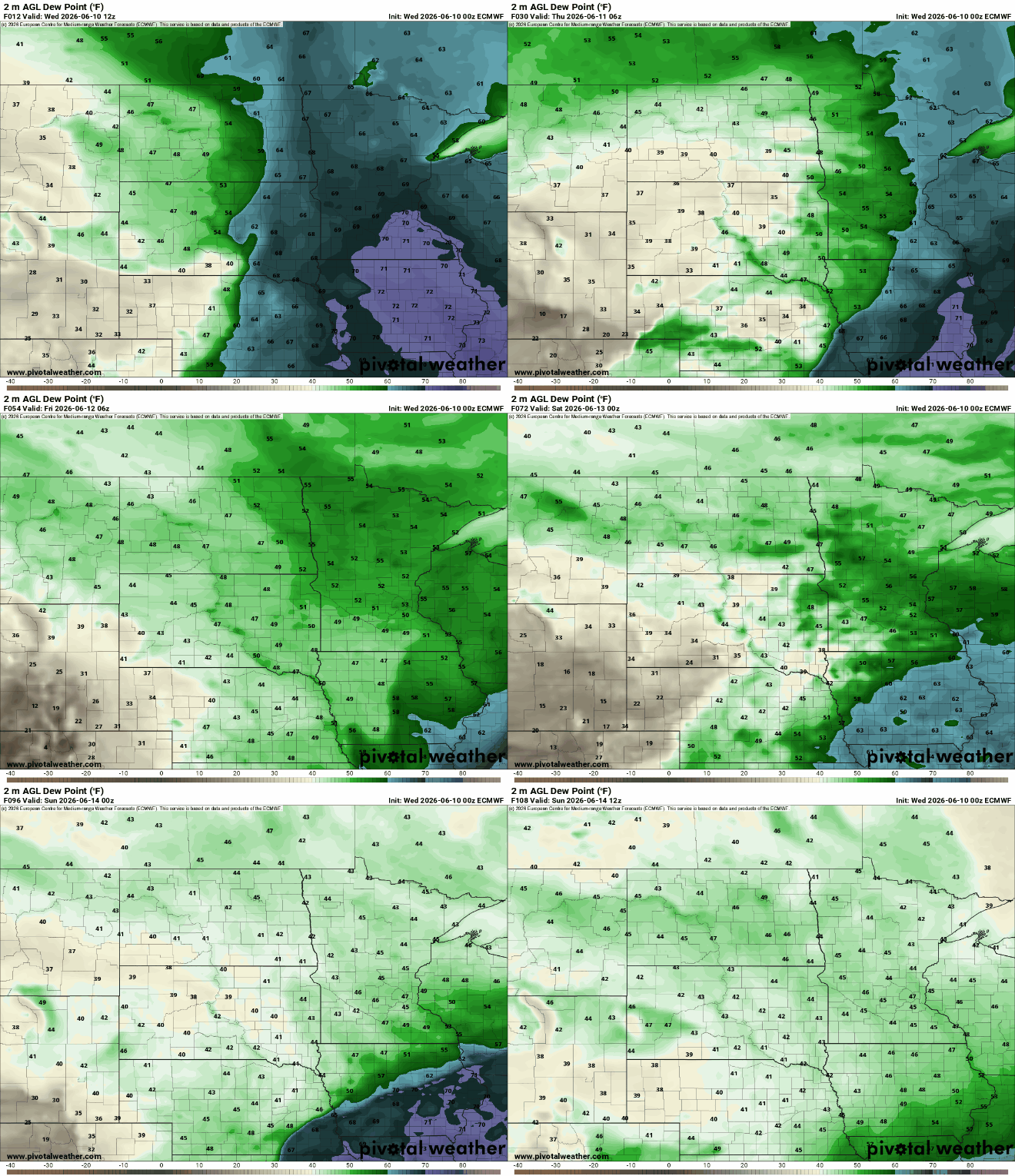
Behind the cool front, dew points will drop Wednesday night into Thursday and remain comfortable into the weekend and early next week.
Highs Thursday will be just in the 70s across the state with just upper 60s even in far northwest Minnesota.

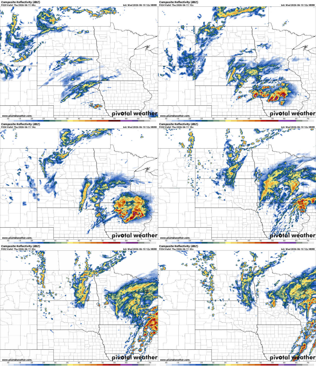
We’ll also see more beneficial rain showers from an upper level disturbance swinging in from the west. No severe weather is expected Thursday and we’ll probably see little in the way of thunder.
Another shot of cool air moves in Friday night into Saturday. Highs Sunday and Monday will range from just the low to mid-70s south to 60s in northern Minnesota.

