
Cooler, less humid Thursday with some showers
Temperatures will cool off more for the weekend

Go Deeper.
Create an account or log in to save stories.
Like this?
Thanks for liking this story! We have added it to a list of your favorite stories.


Cooler, less humid air has settled in. We’ll see some scattered rain showers Thursday. More cool air moves in for the weekend.
Some more rain showers Thursday and a cooler pattern ahead
We have a cooler and less humid air mass in the wake of Wednesday evening’s cool front. High temperatures Thursday will range from just the 60s north to the low to mid-70s south, a good 10 to 15 degrees cooler than Wednesday for most.

Thursday, however, will not be completely dry. We have another round of scattered showers moving in from southwest to northeast through the day delivering some additional, needed rainfall.
Most of the showers will be plain old rain but there could be some garden variety thundershowers too. Severe weather is not expected.
Turn Up Your Support
MPR News helps you turn down the noise and build shared understanding. Turn up your support for this public resource and keep trusted journalism accessible to all.
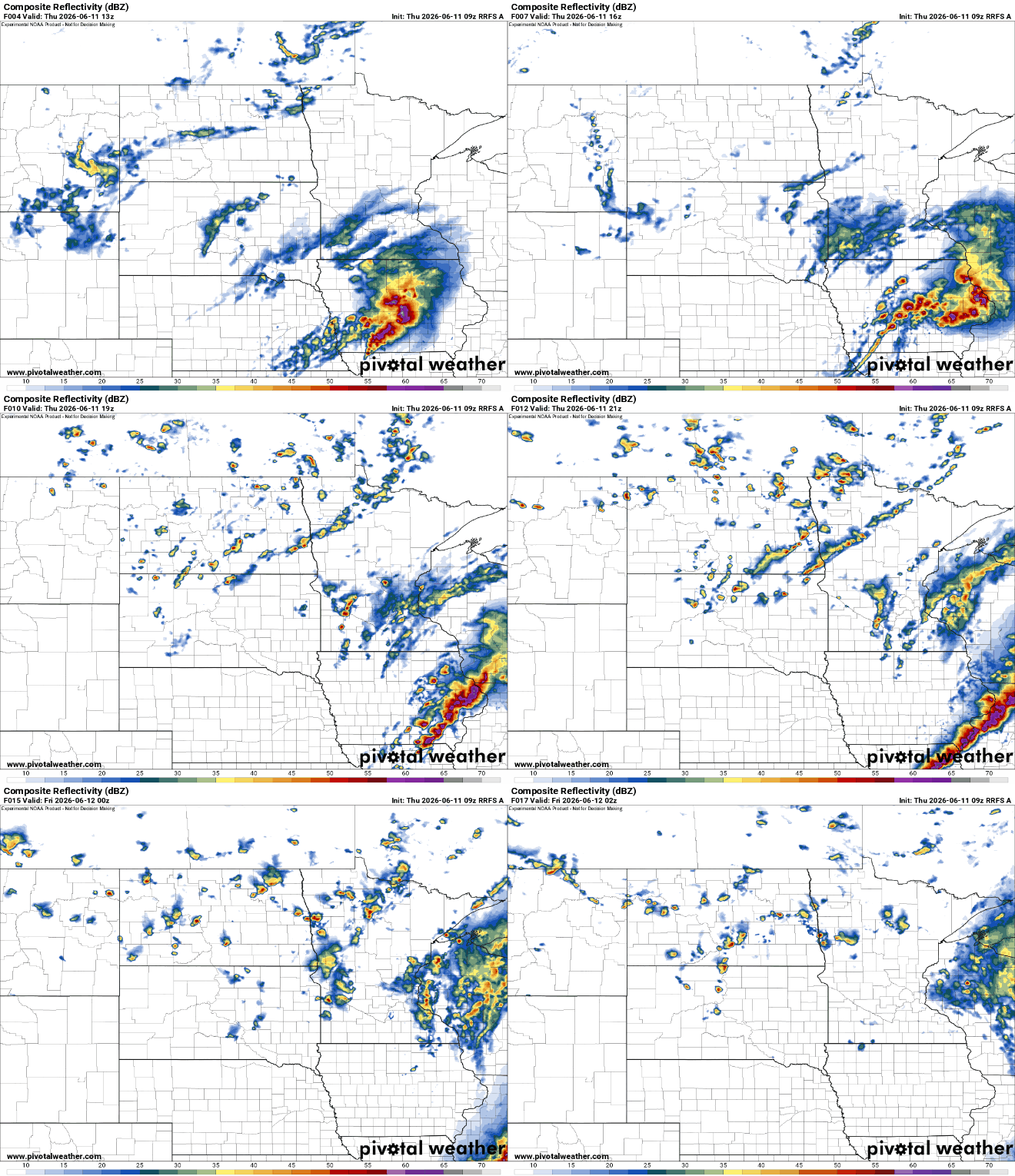
Rainfall will be relatively modest with most picking up one-tenth to one-half inch across southern Minnesota. Portions of far southeastern Minnesota may receive an inch or more.

Brighter skies return for Friday. Temperatures will be a little warmer as a result, but it will still be comfortable with dew points mostly in the 50s and 40s. Afternoon highs will range from the mid-80s in southwestern Minnesota to the upper 60s north.

Another blast of cool air moves in Friday night. It will touch off a few mostly overnight showers.
The weekend will be pretty pleasant but cooler by Sunday and Monday. Highs Saturday will be mainly in the 60s and 70s; Sunday will bring highs mostly in the 60s and low 70s.

The cooler pattern overall persists into the middle of next week. We should see highs back in the 80s by late next week.

