
Late showers then onto cooler sunshine
Go Deeper.
Create an account or log in to save stories.
Like this?
Thanks for liking this story! We have added it to a list of your favorite stories.


Well, gang, we’ve made it through another workweek. Minnesota had high heat, damaging hail, helpful rain (even with drought’s expansion), and now, cooler weather. Rain returns later Friday night into very early Saturday, but its impact remains fairly low. Friday’s blue skies and high winds fade into the weekend and heavier rain returns by next Wednesday. There is no immediate, big, signal for severe weather as we near the yearly ‘peak’ for severe chances across the state.
Friday kicked off with blue skies over most of the state. Now, the puffy cumulus clouds are rolling in, ahead of tonight’s short wave system. The air way above our heads is really cold by June standards. That could mean some rain showers actually produce small hail, even though this is not the biggest severe setup ever. The rain is in the Interstate 90 (and north about 50 miles) corridor after 7:00 p.m. A couple tenths of an inch would be great for gardens, but some will have a lot lighter amounts. Saturday starts off with a hint of fog in places, soon to be blown away by some gusty winds.

From there, the weekend is a blue ribbon winner at the State Fair. We have sunshine and temperatures that are actually colder-than-normal. We’re not exactly in sweater weather but some may be a little chilly on the North Shore or at the cabins. The next minute chance of rain is late Monday night into early Tuesday, with some isolated thunderstorms during the overnight hours.

Starting on Wednesday, our pattern flips again. Right now, we’re mostly nice apart from some hints of night-time rain. But on Wednesday, a Rocky Mountain High forms near Denver. I know, I know: we all have the John Denver song in our heads now! That high creates a big northwest flow, where some moisture swerves down from Alberta. On Wednesday, we have a chance at some good soaking rain, though the timing is still a little bit in flux. The newest data tries to move the system a little bit earlier, just something to keep in mind.


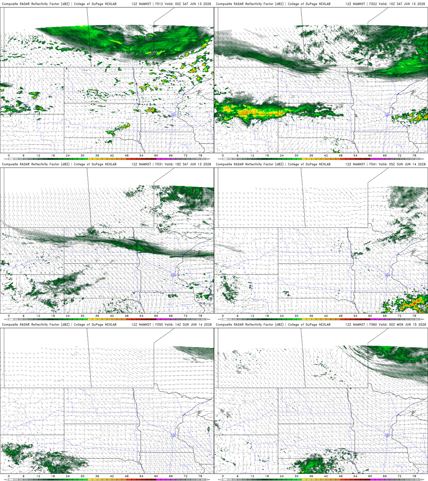
For me, the next compelling weather setup - for potentially active storms, in at least parts of Minnesota - is next Saturday in the I-90 corridor of southern MN. Above are two examples of what storms could look like then.
Turn Up Your Support
MPR News helps you turn down the noise and build shared understanding. Turn up your support for this public resource and keep trusted journalism accessible to all.

