
Warm and bright Friday, but a cooler pattern develops this weekend
Overall cool pattern persists into next week

Go Deeper.
Create an account or log in to save stories.
Like this?
Thanks for liking this story! We have added it to a list of your favorite stories.


Friday will be warmer and brighter with highs back closer to normal for most. Cooler air moves in Friday night and persists into next week. That will keep most significant moisture south, too.
A cooler pattern overall ahead with a lack of widespread storms
After a cloudy, showery day Thursday, sunshine is back Friday for most of the day. We’ll see highs in the low to mid-80s southwest to just 60s north where there will be more clouds and some spotty showers. It will also become pretty breezy with west winds 10 to 20 mph.

A few showers or a thunderstorm will be possible north and in central Minnesota by the evening as a frontal boundary moves in. A cool front overnight will also touch off a few showers into early Saturday.
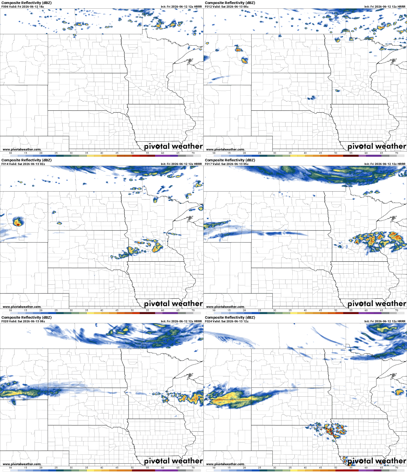
Highs Saturday and Sunday will be just in the low to mid-70s south with 60s north. Those readings are a few degrees cooler than normal.
Turn Up Your Support
MPR News helps you turn down the noise and build shared understanding. Turn up your support for this public resource and keep trusted journalism accessible to all.

Lows Saturday and Sunday nights will be quite cool ranging from near 40 degrees on the Iron Range to just 50 south.

The overall cooler pattern persists into most of next week. Temperatures will average about 4 to 8 degrees cooler than normal. That will keep most 80-degree readings and muggy dew points south of Minnesota.
That also means it will be pretty dry overall with just a couple modest shower chances next week, likely worsening drought conditions in parts of the state. The next best chance at showers or some thunder will come Monday night into Tuesday and Wednesday.
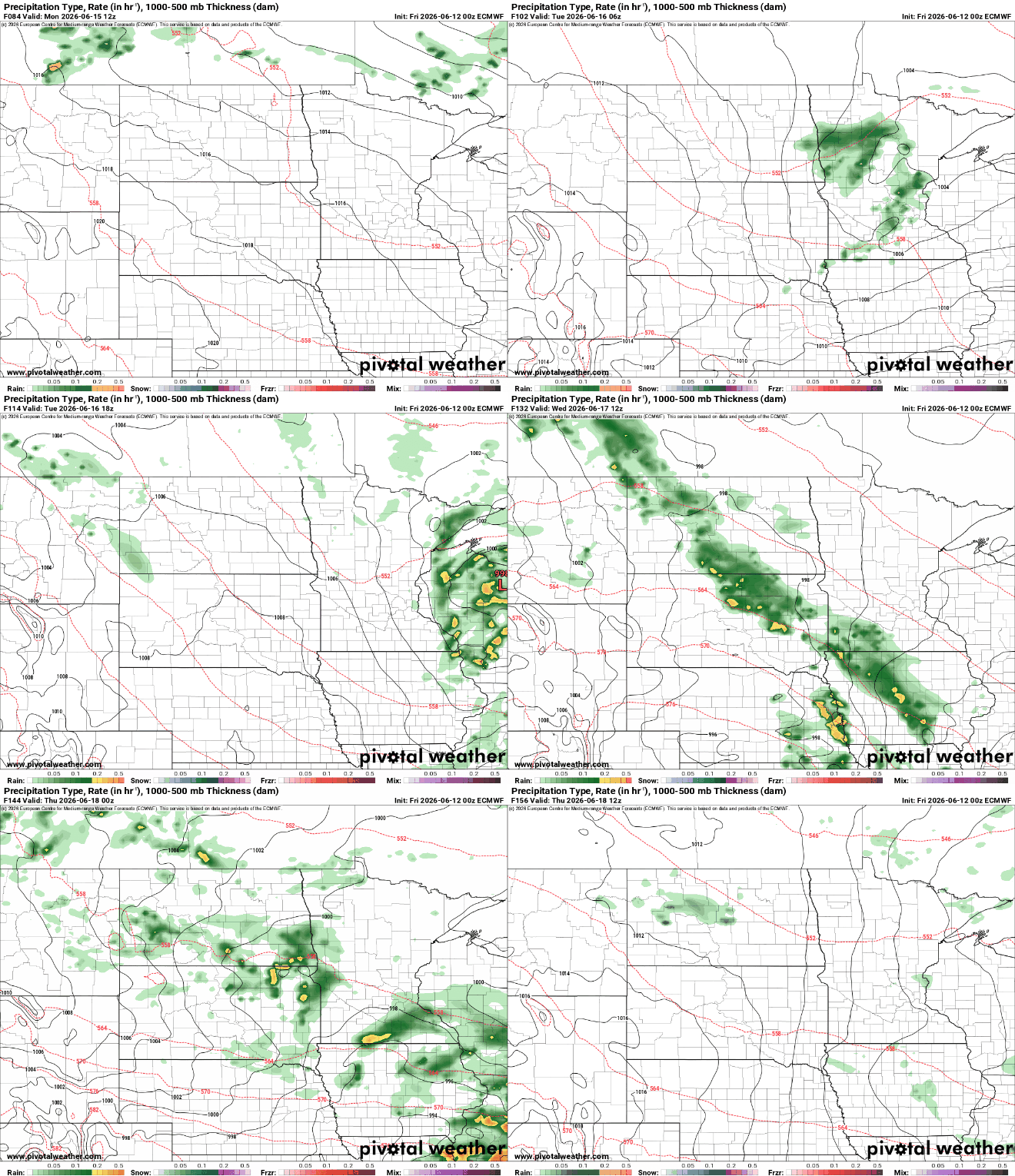
Total rainfall, however, will not be particularly significant due to the lack of real muggy air and instability. Most rainfall totals over the next seven days will be less than one-half inch.

Temperatures should be back up to near 80 degrees by late next week into next weekend for central and southern Minnesota.

