
Plenty of sunshine, cooler temperatures for Sunday
Expect brisk conditions with northwest winds

Go Deeper.
Create an account or log in to save stories.
Like this?
Thanks for liking this story! We have added it to a list of your favorite stories.


High pressure remains in control for Sunday, bringing dry conditions and plenty of sunshine. Gusty northwest winds will develop once again and temperatures will be similar to Saturday, making for another enjoyable June day.
Quiet and dry to end the weekend
It’s a brisk but cooler end to the weekend with high temperatures on Sunday, warming into the upper 60s north to low 70s in southern Minnesota.

Northwest winds will continue around 10-20 mph throughout the day, diminishing after sunset.
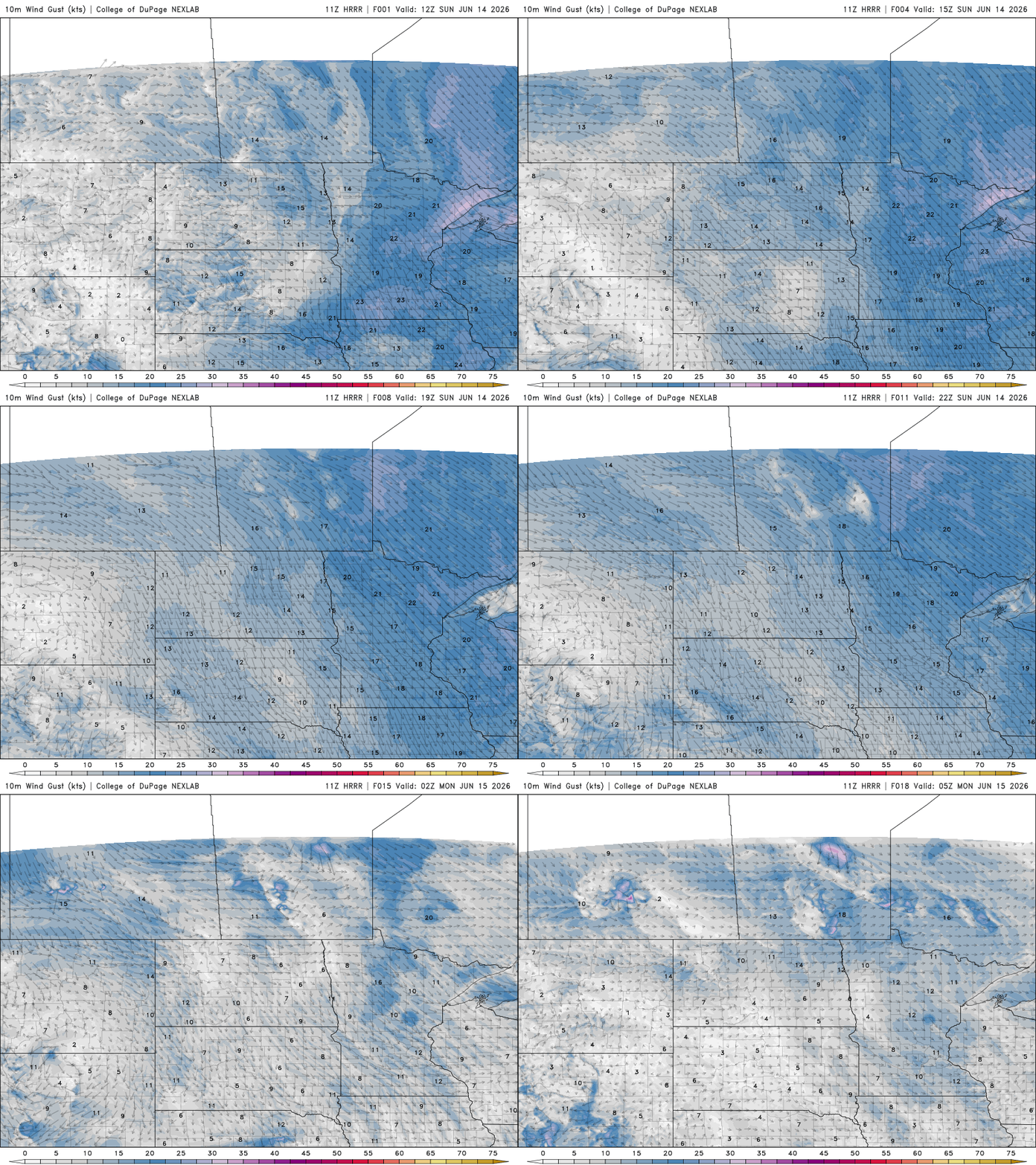
There’s a brief warm-up on Monday as temperatures climb slightly, with afternoon highs reaching the mid to upper 70s as winds shift from northwesterly to more westerly.
Turn Up Your Support
MPR News helps you turn down the noise and build shared understanding. Turn up your support for this public resource and keep trusted journalism accessible to all.

This change in flow is associated with a passing upper-level disturbance that will bring the first chance of rain to the area late Monday afternoon through early Tuesday morning.
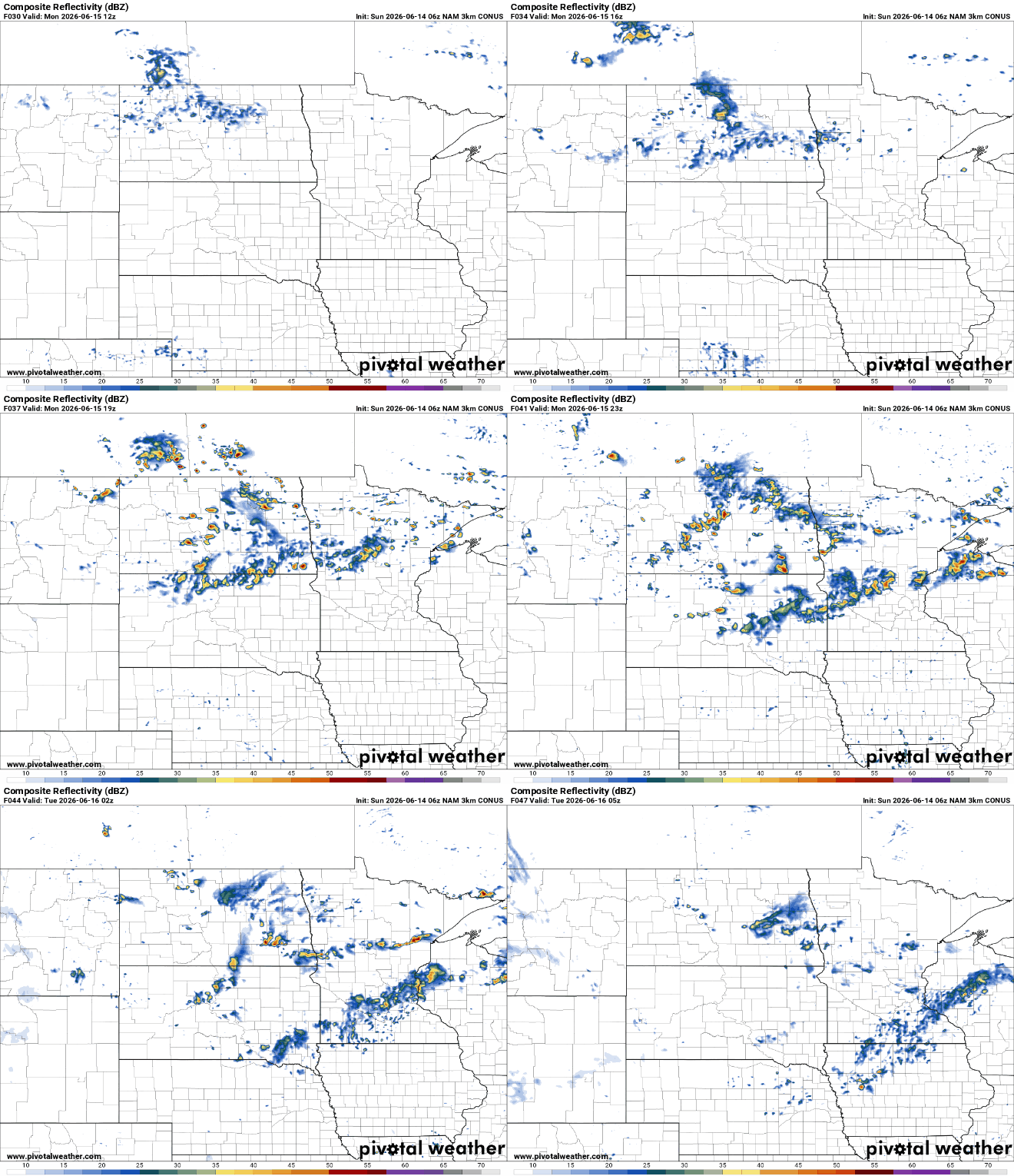
However, dry air in the lower atmosphere may limit how much rainfall actually reaches the ground. While a few showers are expected, some precipitation could evaporate before reaching the surface.
The most favorable opportunity for widespread rainfall looks to be Wednesday into Thursday. This system will have more moisture to work with, though forecast models continue to vary somewhat on the timing of its arrival and departure.
Cooler temperatures are expected to stick around through the week and possibly into the second half of the month. Forecast models currently show no strong signals for a significant warm-up. Instead, we may end up balancing out the very warm start to June with cooler, more seasonable temperatures.


