Quiet, cool night under clear skies
Cool stretch of temperatures ahead

Go Deeper.
Create an account or log in to save stories.
Like this?
Thanks for liking this story! We have added it to a list of your favorite stories.


After a cool and quiet start to the week, several opportunities for rainfall will enter the forecast over the next few days as a series of disturbances move through the Upper Midwest.
Quiet, cool night with clear skies
Dry air pushing in from the northwest has cleared out any sign of clouds, and our breezy northwest winds will become light and shift to the west Sunday night.
Temperatures will fall into the upper 40s to low 50s under clear skies.
Our next weather-maker arrives Monday afternoon as a weak upper-level disturbance moves through the region. This system will bring scattered showers and a few thunderstorms, especially across central, northern Minnesota and areas north of the Twin Cities.
Turn Up Your Support
MPR News helps you turn down the noise and build shared understanding. Turn up your support for this public resource and keep trusted journalism accessible to all.
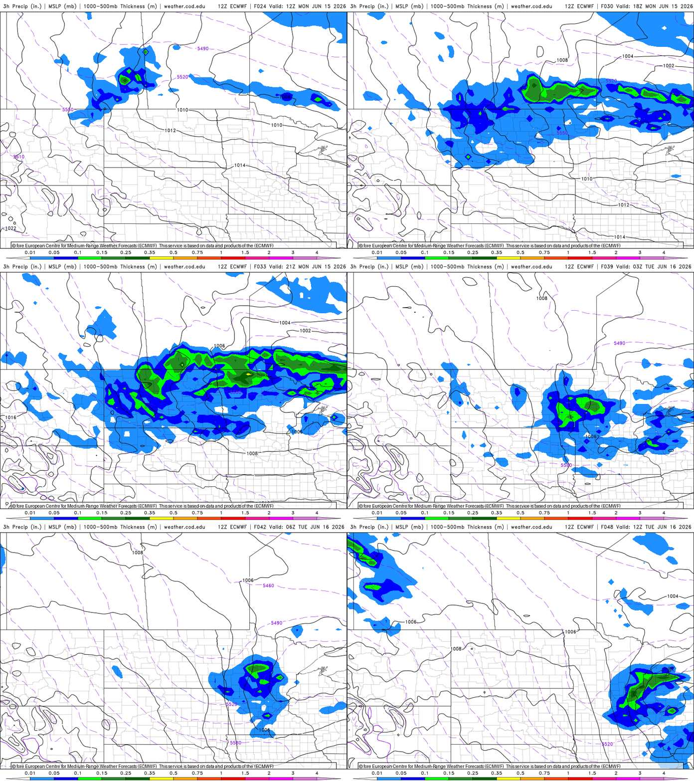
Drier air in place will limit rainfall amounts and help keep the severe weather threat low. Any showers or storms that develop should diminish quickly Monday night as the disturbance exits the area.
Wednesday remains our best opportunity for widespread rainfall across the region. A stronger upper-level disturbance will help develop a surface low over the Dakotas before pushing eastward into Minnesota and Wisconsin throughout the day. Showers are expected to become more widespread, with most locations receiving between a quarter and a half inch of rainfall.

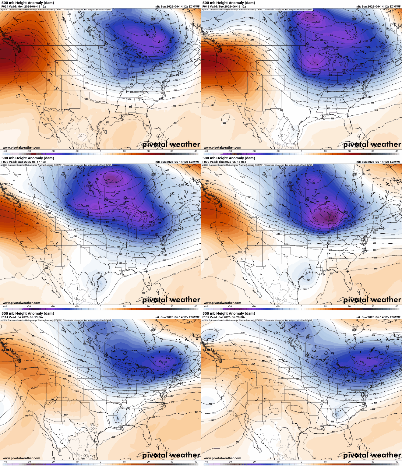
The stretch of cooler-than-average weather will continue through the upcoming week, with afternoon highs generally ranging from the 60s to lower 70s and overnight lows in the 50s.
Looking ahead, longer-range forecast guidance remains remarkably consistent in maintaining this cooler pattern through the end of the month.