
Near-record low brings rain, cooldown midweek
Several good shots of rain through Thursday morning

Go Deeper.
Create an account or log in to save stories.
Like this?
Thanks for liking this story! We have added it to a list of your favorite stories.


A powerful June low-pressure bull’s-eye brewing in the Sierra rolls into the Upper Midwest fully by Wednesday. Your ears might pop this week, and you may feel a little more joint pain. That pressure drop — and its needed rain — will be really noticeable starting later Monday.
On-off rain
Rain is starting to descend into northern Minnesota early Monday afternoon, moving toward the Interstate 94 and Interstate 90 corridors before dusk Monday. We started with chilly sunshine but we’re moving toward mild lighter rain in the same day.
The rain comes from a short wave pinwheeling from Alberta. Because it’s a continental air mass, it’s a little starved of moisture. We aren’t going to get a tremendous amount of rain amounts this time, but it’s helpful in easing the widespread drought forming over Minnesota.
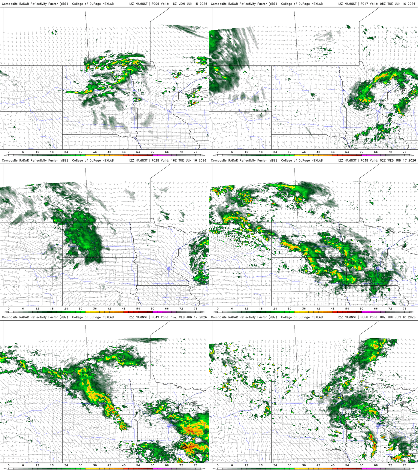
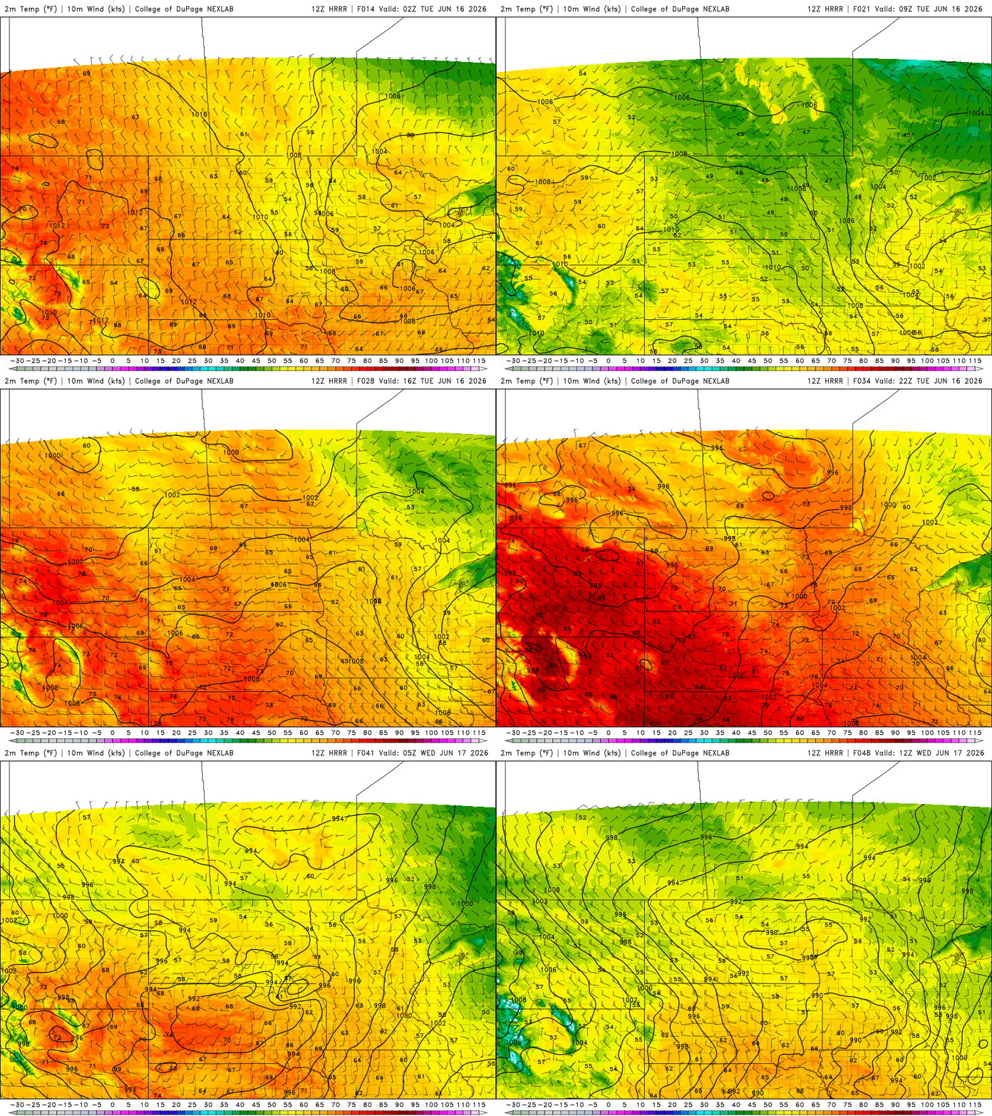
Not that the rain will be warm, but the clouds will keep us a little more moderate overnight into early Tuesday. Expect lows in northern Minnesota to touch the middle to upper 40s with lower to middle 50s in the south.
Turn Up Your Support
MPR News helps you turn down the noise and build shared understanding. Turn up your support for this public resource and keep trusted journalism accessible to all.
The rain is off and on through the Tuesday morning commute especially for southern Minnesota, although it tapers off before dawn in the north of the state.
Soaking rain Wednesday
The next rain shield comes in early Wednesday, from the powerhouse low.
Thanks to Daniel from Praedictix Weather, who tracked down a really cool weather chart, we know the lowest recorded pressure in central Minnesota in June was 984.4 millibars. We’ll be pretty darn close to the record from 19 years ago.
What does that mean for you? Well, mostly rain but you’ll certainly feel the stormy weather.
Even though the I-94 region gets some soaking rain through late Wednesday, the two areas of Minnesota that need rain the most are not likely receive much.
Far southwestern Minnesota gets almost nothing on the newest National Oceanic and Atmospheric Administration model data. The Arrowhead region — where we’ve had all those red flag warnings lately — similarly gets very little rain.

Thursday and Friday may have a few raindrops but are much drier days statewide.
Almost all of Minnesota will have below-average temperatures through the workweek but the weekend is a little warmer. We’re still behind the pace of last week’s upper 80s but it’s at least a little more mild for your lake plans this weekend.

