
Cool, unsettled pattern with more rain Wednesday
More chances of rain could be on the way for the weekend

Go Deeper.
Create an account or log in to save stories.
Like this?
Thanks for liking this story! We have added it to a list of your favorite stories.


Lingering showers and clouds will move out Tuesday morning, but more rain and thunder will develop for Wednesday and potentially this weekend. Temperatures will be cooler than normal, too.
Cool, unsettled pattern with a few chances of rain, thunder
Lingering showers will move out Tuesday morning and clouds will decrease, giving way to some midday and afternoon sun. Clouds will already increase again toward Tuesday evening ahead of the next system.
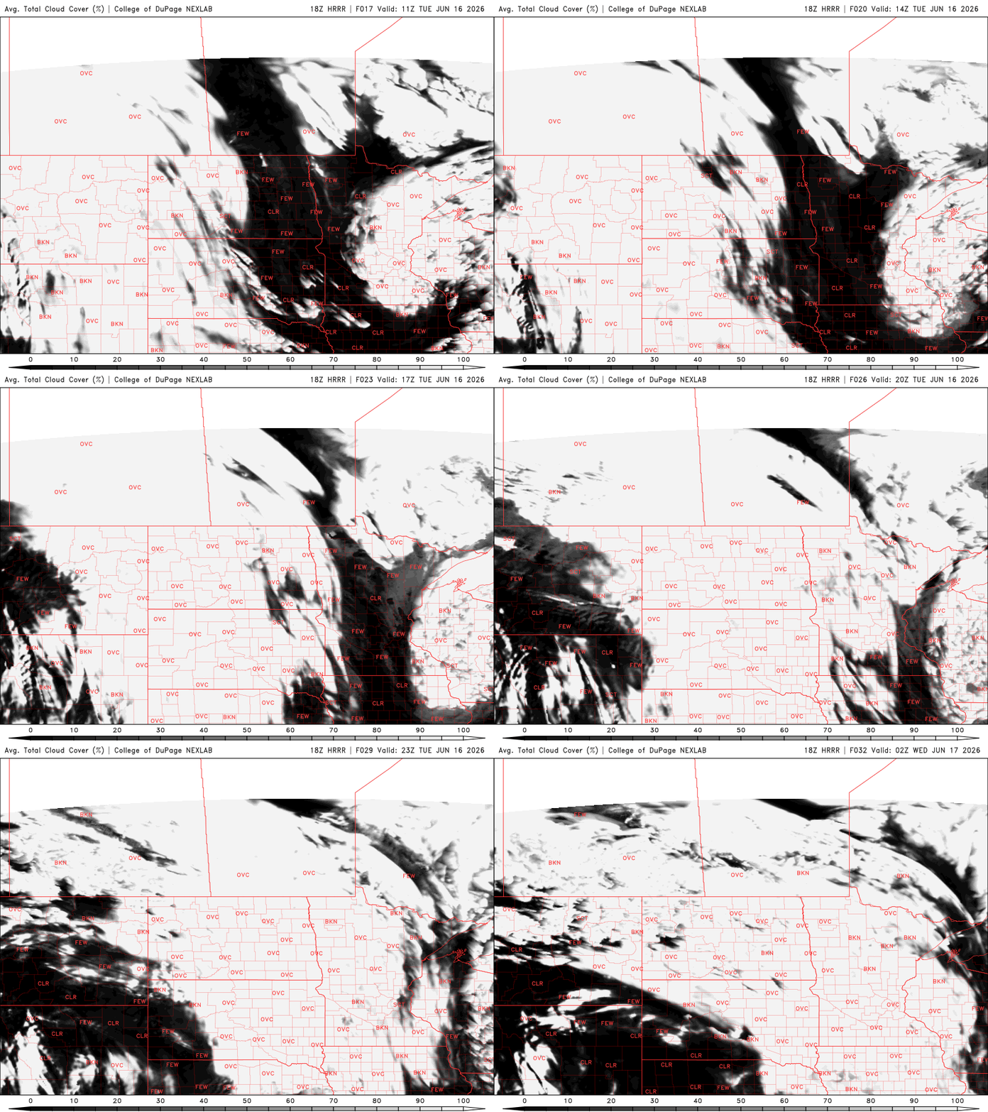
Afternoon high temperatures will range from the mid-70s south to the 60s north, a bit cooler than normal. It will be pretty breezy with northwest winds at 10-20 mph.

The next round of rain arrives Tuesday night into Wednesday with scattered showers and thunderstorms from a clipper-type system moving in, rotating around a cool upper low to our north near Hudson Bay. Showers will already reach western Minnesota Tuesday evening and track east overnight into the day Wednesday. Thunderstorms will develop in southern Minnesota midday into the afternoon as sunshine peeks out.
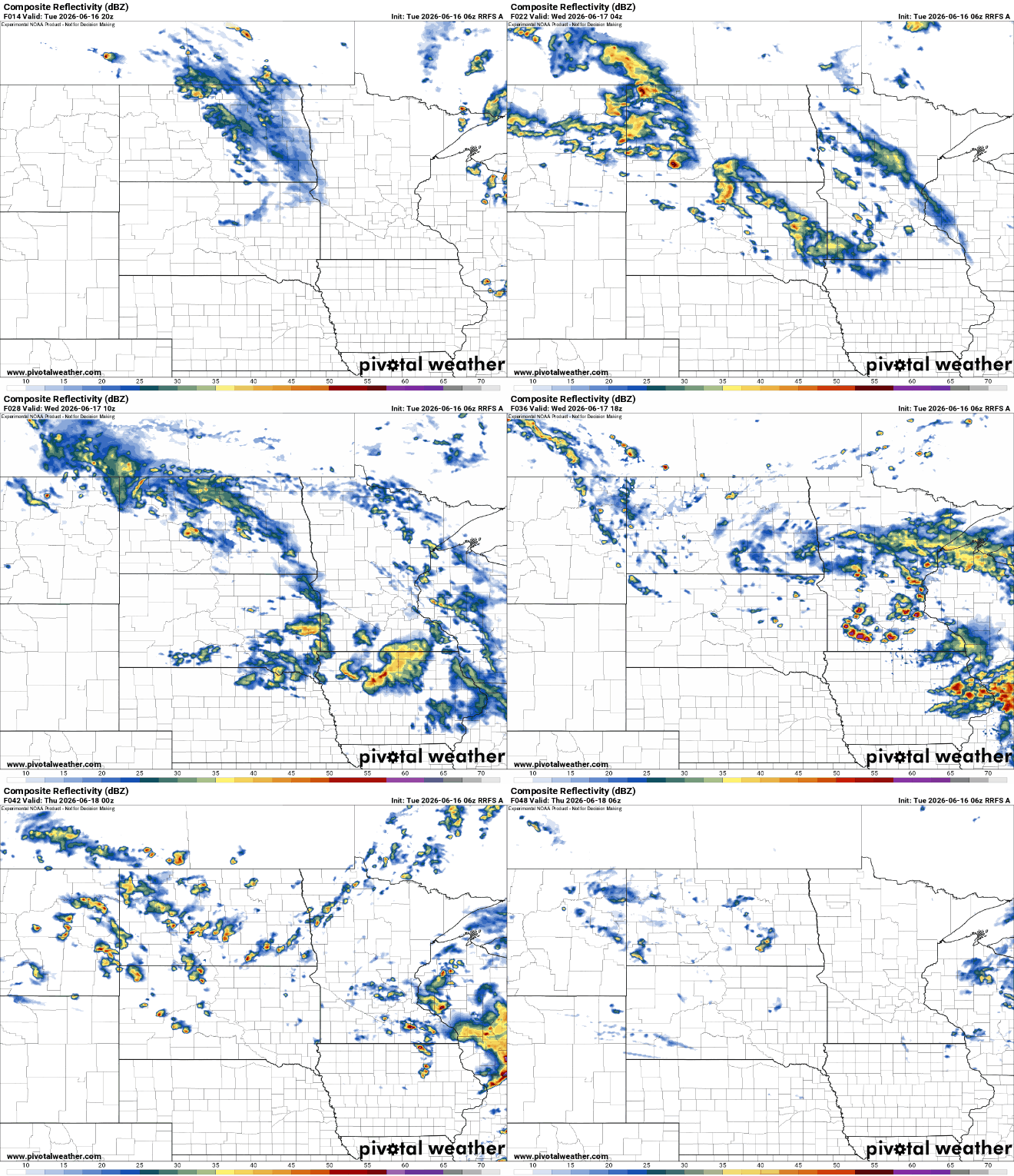
We could see some decent rainfall across central Minnesota into Wisconsin. Unfortunately it looks like the more significant rainfall amounts will fall outside of our main drought areas in the state.
With a little sunshine Wednesday we could even see isolated strong or severe thunderstorms in southern Minnesota. There’s a slight risk (level 2 of 5) of severe storms in far southern Minnesota Wednesday.

Thursday should be mainly dry again with decreasing clouds but another disturbance moves in for Friday touching off yet more scattered showers and thunderstorms. That may make way for a mostly dry and pleasant weekend. Some isolated showers still look possible with highs mostly in the 70s but the weekend forecast appears to be improving.
Turn Up Your Support
MPR News helps you turn down the noise and build shared understanding. Turn up your support for this public resource and keep trusted journalism accessible to all.

