Southeastern Minnesota severe threat next few hours
Go Deeper.
Create an account or log in to save stories.
Like this?
Thanks for liking this story! We have added it to a list of your favorite stories.


Scattered storms and a brief severe risk are possible Wednesday in southern Minnesota, followed by cooler, unsettled weather through the week.
Needed rain, severe storm potential
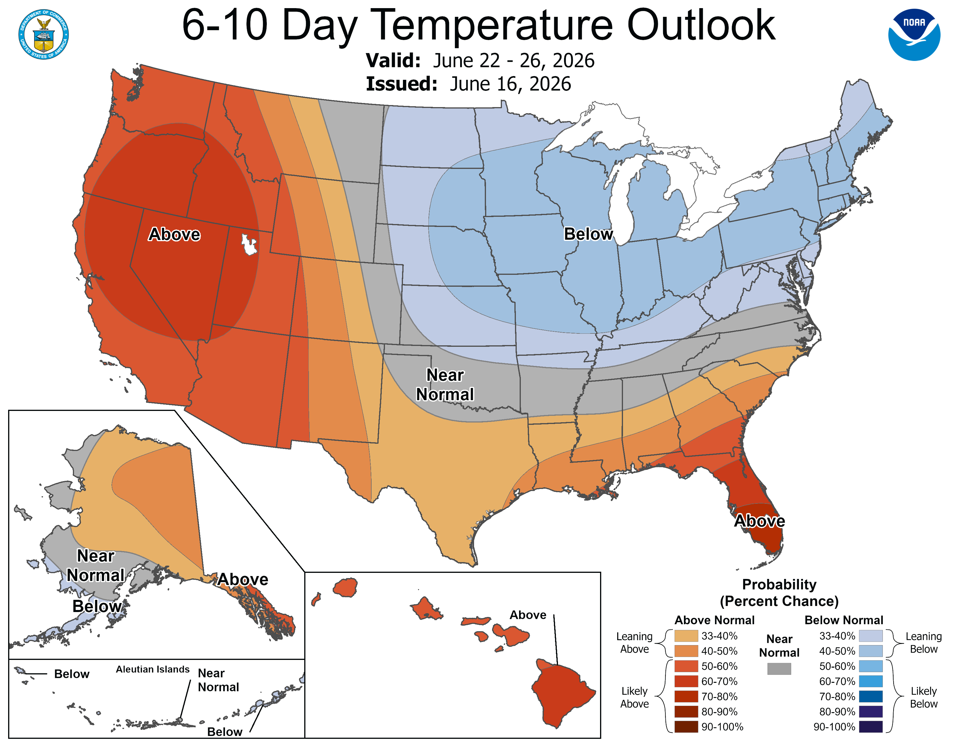
Some of you may be thinking: rain rain, go away! We’re almost to July but temperatures have been more along an April trend as of late.
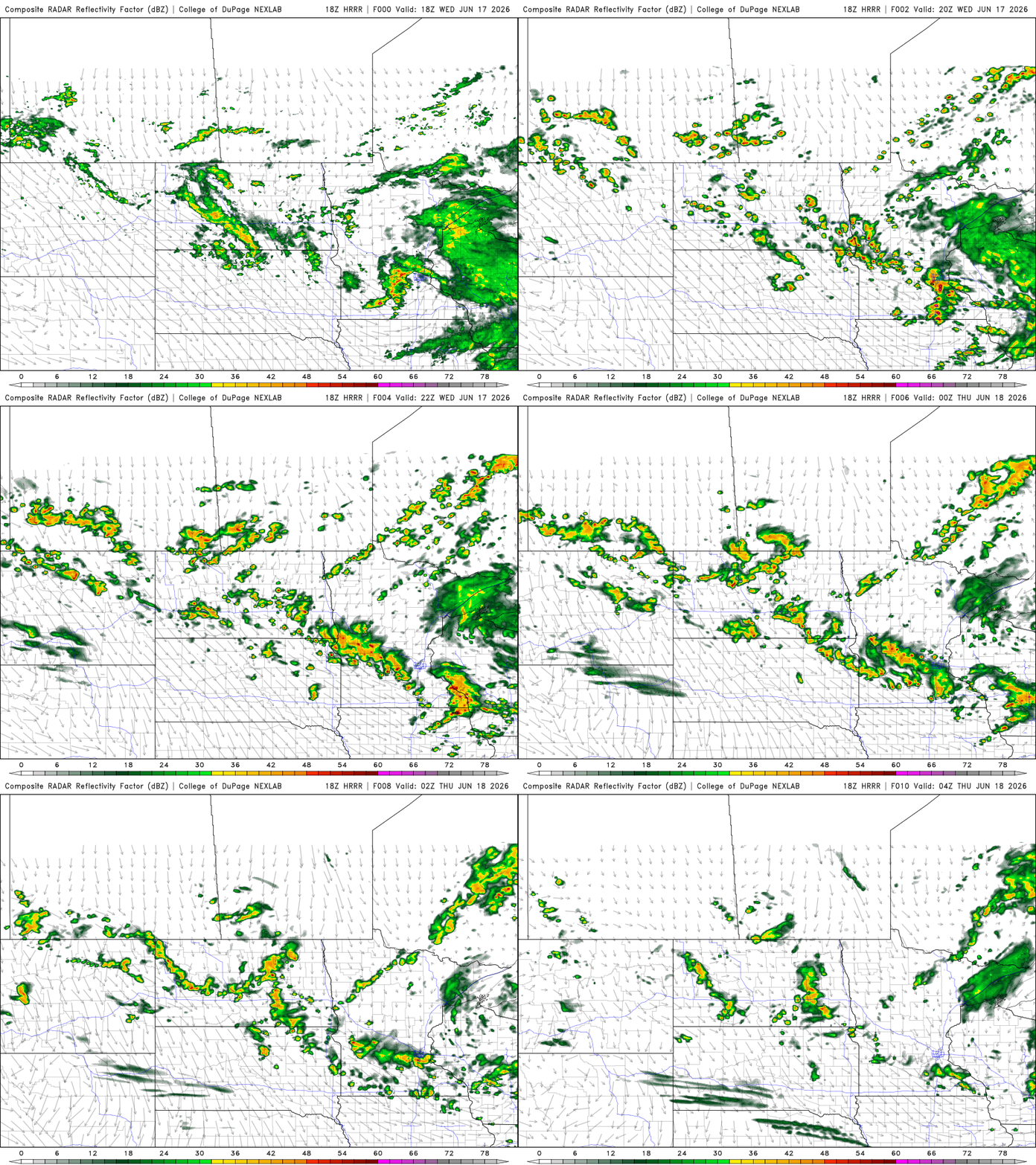
That said, we really need the rain in some parts of the state and more is coming for some areas through Wednesday night. There is also a brief window for severe storms in southeastern Minnesota for cities including Austin, Rochester and up to the Twin Cities.


Hail is the biggest severe threat through Wednesday afternoon. The strong updrafts and lower freezing levels are a rough recipe if there is any better instability out there south of Minneapolis and St. Paul before dusk.
Turn Up Your Support
MPR News helps you turn down the noise and build shared understanding. Turn up your support for this public resource and keep trusted journalism accessible to all.
There will also be torrential downpours and thus some traffic snags through the afternoon drive home from work.
There is also a severe thunderstorm watch listed for the southern end of the Twin Cities, southward toward Owatonna, Rochester and Red Wing. Later Wednesday night we could start to see some fog forming.
By Thursday, a few lingering wraparound showers may persist, but widespread rainfall is not expected. Beyond that, the overall weather pattern remains somewhat unsettled through the weekend as the upper-level trough remains parked over the region.

Confidence in the forecast decreases later in the week with weather models showing differing solutions regarding additional rain chances. For now, expect periodic opportunities for showers mixed with extended dry periods.
Temperatures will remain comfortably cool for mid-June, with highs generally holding in the low to mid-70s through the end of the week and into the weekend. Into next week, there are now higher signs of downpours on Tuesday and Wednesday.