
Brighter and mainly dry Thursday, spotty thunder returns Friday
Temperatures gradually warm toward normal again
Go Deeper.
Create an account or log in to save stories.
Like this?
Thanks for liking this story! We have added it to a list of your favorite stories.


We’re in a sort of every-other-day pattern, meaning Thursday is another mostly dry day after Wednesday’s rains. It will still be on the cool side of normal. Thunder is possible again Friday.
Brighter, mainly dry Thursday; spotty thunder returns Friday
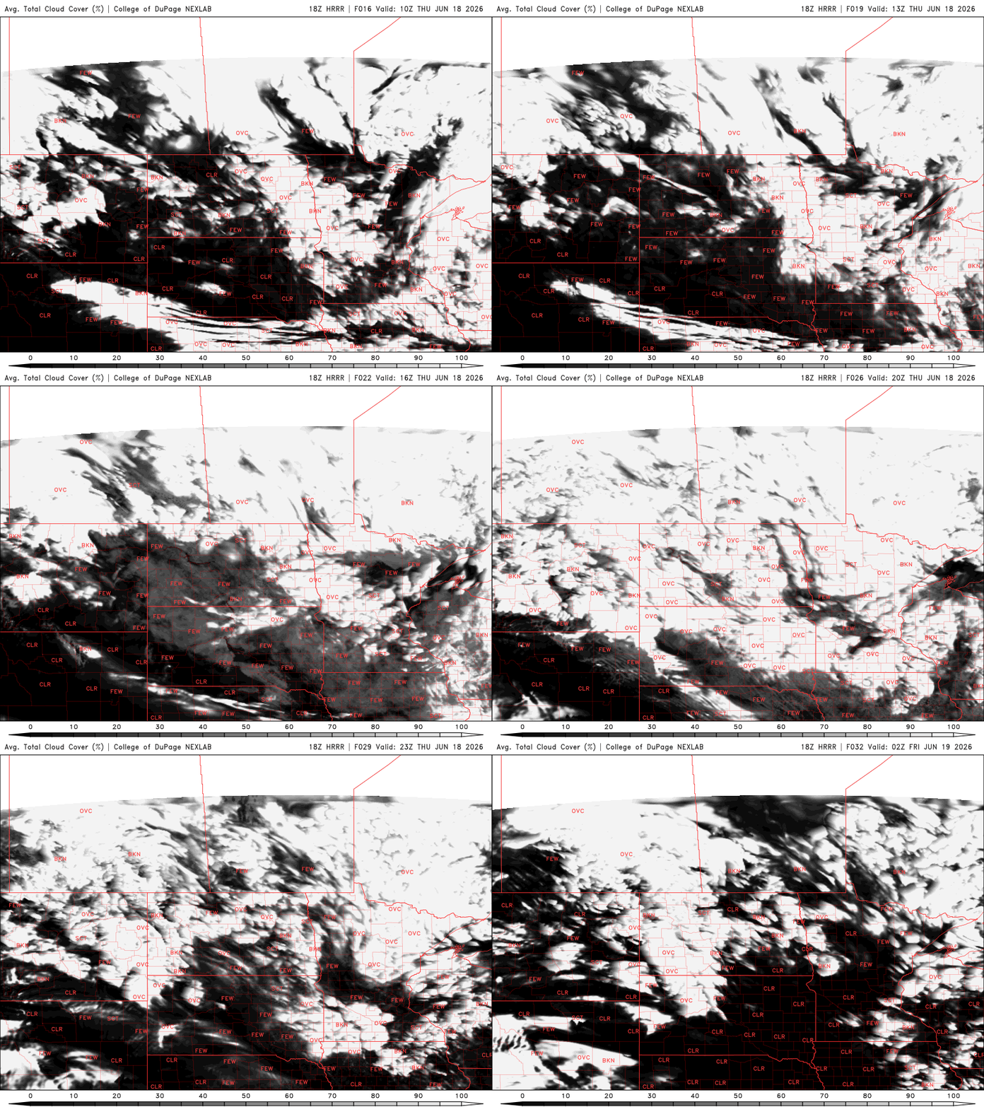
Decreasing clouds after Wednesday’s rainfall will lead to brighter skies Thursday and warm things up. It will still be cooler than normal, however, with highs ranging from the low 70s south to the low 60s north.

Those readings are about 5 to 10 degrees cooler than normal still. Normal highs in the Twin Cities should be around 80 degrees for mid-June with a standard deviation of about plus or minus 7 degrees.

Friday will be a few degrees warmer with potentially 80-degree readings reaching the southwestern corner of the state. Far northern Minnesota will likely remain in the mid to upper 60s for afternoon highs.
Turn Up Your Support
MPR News helps you turn down the noise and build shared understanding. Turn up your support for this public resource and keep trusted journalism accessible to all.

Friday will also bring the next chance of at least some spotty showers and thunderstorms. This next disturbance doesn’t look to be as vigorous with as much widespread rainfall as Wednesday’s system.
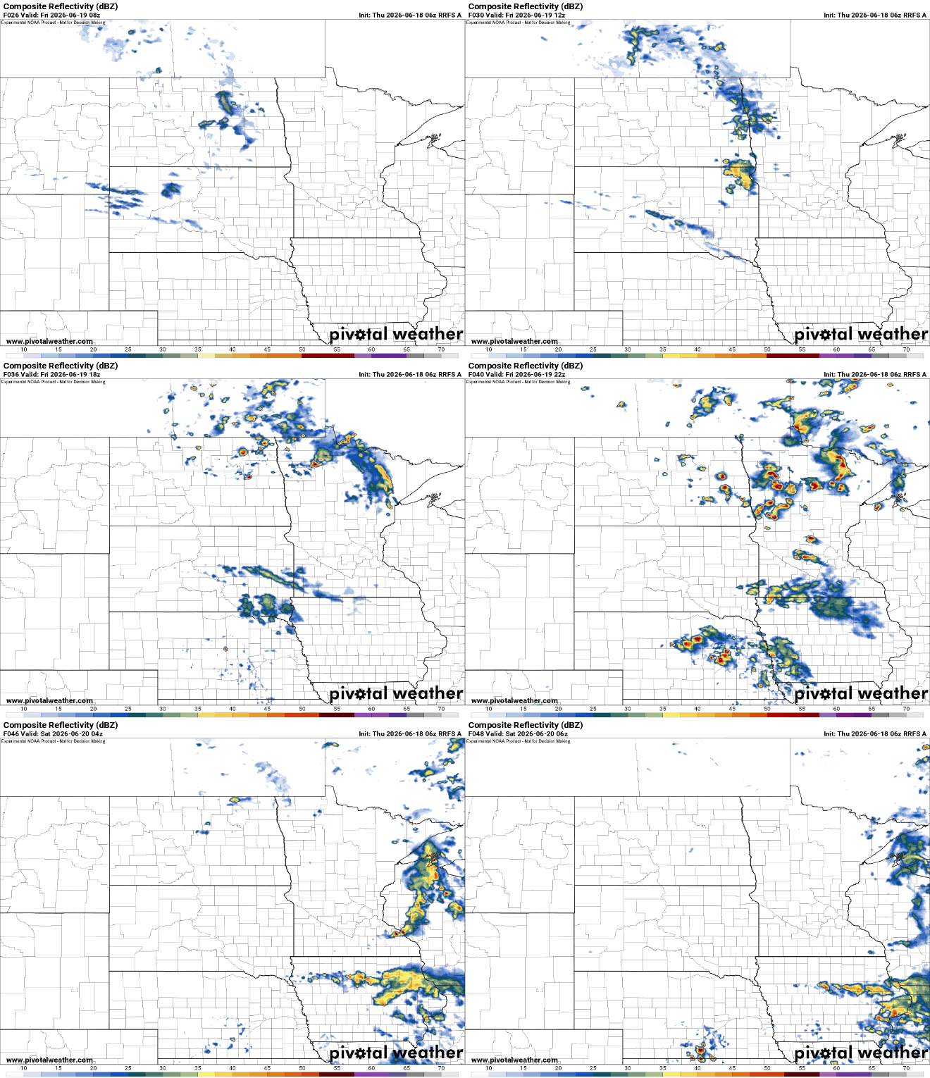
There’s a low chance of some severe weather even on Friday. A couple of thunderstorms could produce some brief severe wind gusts and large hail late Friday afternoon and evening. A marginal risk (level 1 of 5) is forecast for Friday:

Saturday should again be mostly dry with highs in the 70s across most of Minnesota. Sunday, too, should see highs mainly in the 70s.
We could see another disturbance graze southern Minnesota with some showers and thunderstorms for Father’s Day.

Temperatures should continue a slow trend upward toward normal, reaching the 80s by the middle or later part of next week.


