
Cool into the coming week, but a pattern shift could be ahead
Rain, thunder is likely Tuesday

Go Deeper.
Create an account or log in to save stories.
Like this?
Thanks for liking this story! We have added it to a list of your favorite stories.


Cooler than normal temperatures prevail into the upcoming week, but a pattern shift could be coming for the end of the month. Tuesday will bring the next widespread chance of rain.
Cool into the week ahead, but a pattern shift could be coming
A very nice Saturday will lead into a cool overnight. It will be downright chilly in northern Minnesota where temperatures on the Iron Range could drop into the low 40s. Most will be in the 50s in southern Minnesota.

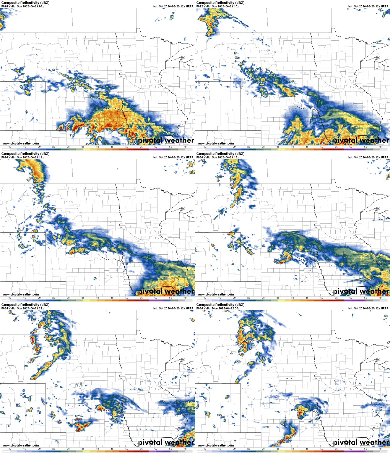
Father’s Day will pleasant but with increased cloud cover. The southwest part of the state will see some scattered showers on the northeast edge of a system mostly missing Minnesota.
The summer solstice is at 3:24 a.m. early Sunday morning, but it will remain cooler than normal with highs mostly in the 70s across the state. Normal highs are now in the low 80s in southern Minnesota.
Turn Up Your Support
MPR News helps you turn down the noise and build shared understanding. Turn up your support for this public resource and keep trusted journalism accessible to all.

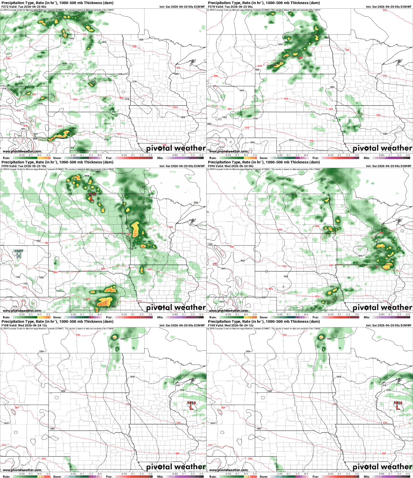
Some showers and thunderstorms develop Monday night into Tuesday as the next upper level disturbance swings through the region. We could see anywhere from 0.10 to 0.50 inches of fresh rainfall for most, but there will be some locally higher amounts, especially in central or northern Minnesota.
Temperatures will remain cooler than normal through Friday with highs mostly in the 70s south and upper 60s north but there could be a pattern shift ahead. The upper level pattern will slowly change allowing these frequent upper lows, bringing cool pockets of air in the central and eastern U.S. to shift away.
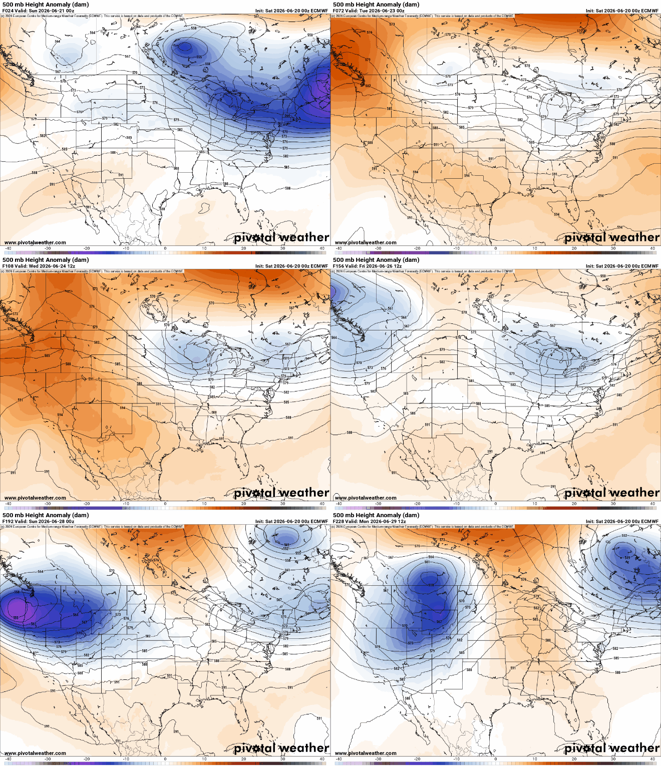
That means we could see 80-degrees again by the final weekend of June. We haven’t hit 80-degrees in the Twin Cities since June 12, despite it being the normal high now.
Beyond that the forecast models are mere entertainment, but they have gone back and forth on hinting at some heat in time for the Fourth of July holiday period.
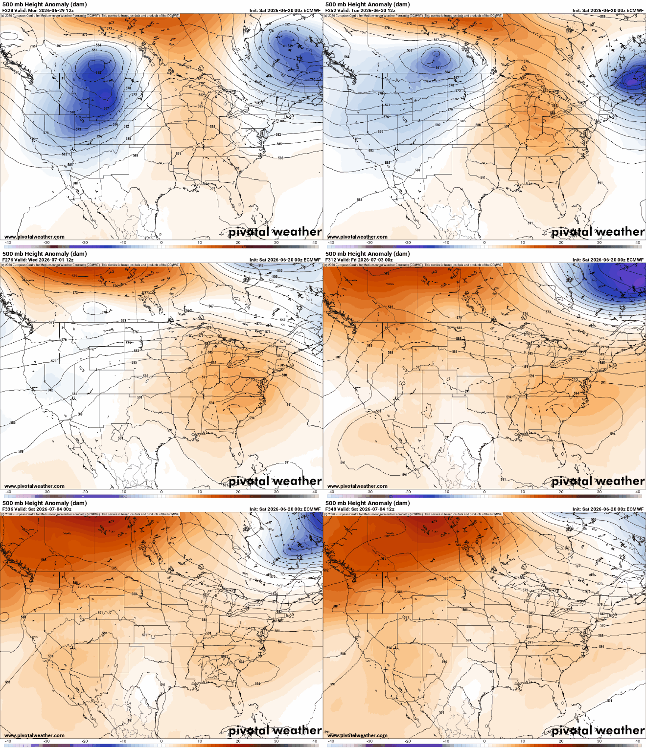
It is looking increasingly likely we’ll flip from cooler than normal temperatures to above normal temperatures as we leave June and enter July.


