
Pleasant weekend, continued cooler than normal
Highs should approach 80-degrees by next weekend

Go Deeper.
Create an account or log in to save stories.
Like this?
Thanks for liking this story! We have added it to a list of your favorite stories.


We have a pleasant and mostly dry weekend for most of Minnesota. Highs will be mostly in the 70s, still a little cooler than normal. The next chance of rain, thunder develops Tuesday.
Pleasant weekend, continued cooler than normal until next weekend
We have a pretty nice, pleasant Saturday. We’ll see partly cloudy skies with temperatures a little bit cooler than normal once again. A couple isolated showers, thunderstorms are possible in the Arrowhead this afternoon. Highs will range from near 80-degrees in the southwest corner of the state to the upper 60s north.

Look for another cool overnight in northern Minnesota with temperatures on the Iron Range in particularly dropping into the low 40s once again under mainly clear skies and light winds.

The summer solstice is at 3:24 a.m. early Sunday morning. It’s the longest day of the year and the most intense sunlight. The sunrise will be at 5:26 a.m. and the sunset is at 9:03 p.m. Sunday. We should see much of that sunlight except in southwest Minnesota. Highs will again be mostly in the 70s.

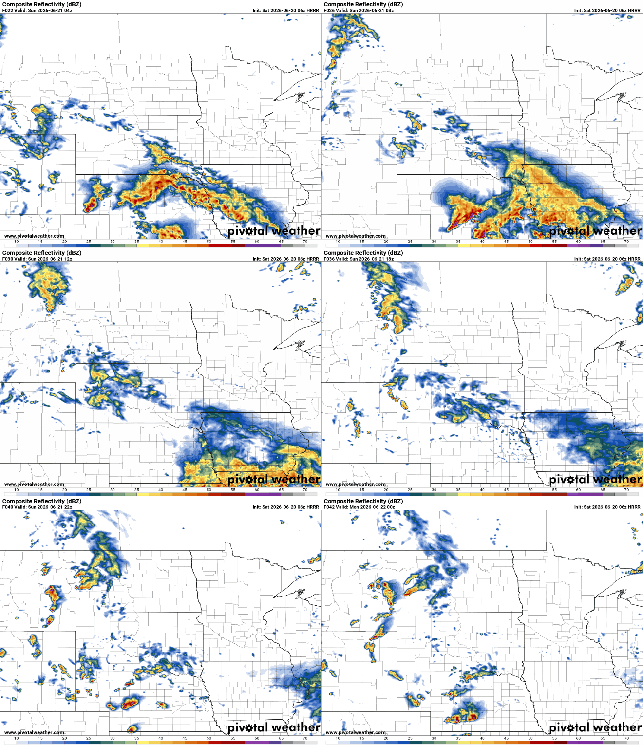
As mentioned, southwest Minnesota will be on the northern edge of a disturbance bringing some showers and thunder to much of South Dakota, Nebraska and Iowa. The rest of Minnesota will be dry.
Temperatures will remain a little cooler than normal through Friday of next week with highs mostly in the mid to upper 70s across southern Minnesota and in the upper 60s to low 70s in northern Minnesota. Those readings are about 5 to 10 degrees cooler than normal. Most models bring those of us in southern Minnesota closer to our normal of 80-degrees by next weekend.
The next disturbance moves in Tuesday, touching off some scattered showers and thunderstorms. Most rainfall amounts look to be under 0.50 to 1.00 inches but there could be some locally higher amounts if we can get thunderstorms to develop.
Turn Up Your Support
MPR News helps you turn down the noise and build shared understanding. Turn up your support for this public resource and keep trusted journalism accessible to all.

