Storms Tuesday evening, then cooler weather sticks around
Lightning could cause some outdoor issues Tuesday
Go Deeper.
Create an account or log in to save stories.
Like this?
Thanks for liking this story! We have added it to a list of your favorite stories.


Rain is here for much of the state, especially for the Twin Cities Tuesday evening. Clouds are off-and-on for the next three days with more heat finally rolling in by the end of the weekend. Next week also brings some thunderstorms before we dry back out with a swapped pattern.
Severe storms possible Tuesday
You’d be forgiven for thinking Tuesday would be wall-to-wall sunshine and warmth. The warmth and boosted humidity are a symptom of southerly winds streaming in ahead of the rain.
No matter when you read this Updraft Tuesday, there will be some rain in northern Minnesota. That bow-and-arrow shaped line of storms will finally swing south on Tuesday afternoon.
Some of these storms could be severe, producing a very brief tornado or larger hail, although the straight-line damaging wind threat is fairly low. In northern Minnesota, the main timing for severe storms is from 3 p.m. to 6 p.m.
Turn Up Your Support
MPR News helps you turn down the noise and build shared understanding. Turn up your support for this public resource and keep trusted journalism accessible to all.
U.S. Highway 59 could be the bull’s-eye for any severe weather from Detroit Lakes to Mahnomen to Thief River Falls. An isolated tornado is possible here along with some damaging hail from smaller supercell thunderstorms.
Highs will also be closer to 80 degrees Tuesday across a big swath of the state even as clouds roll in fast.
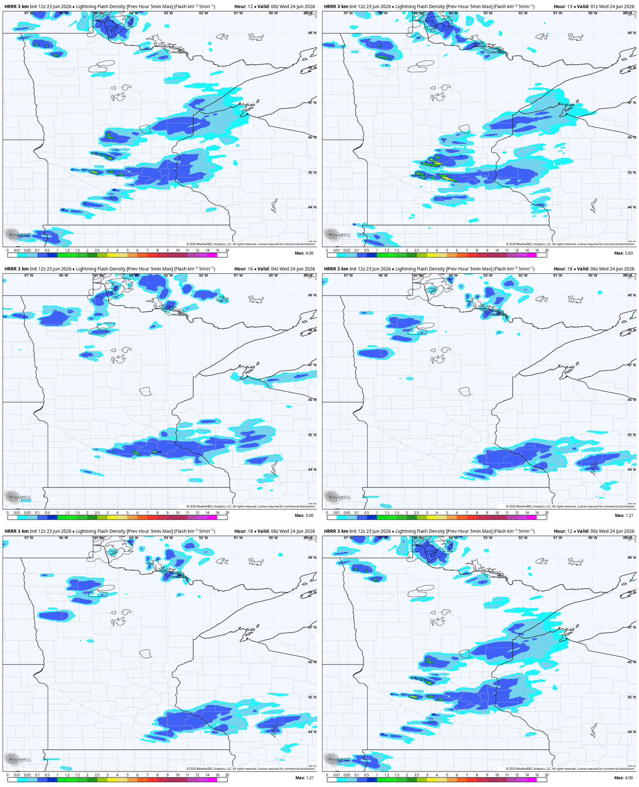
There’s a chance of widespread thunder for hours in the Twin Cities from 4 p.m. to 9 p.m. That’s also the best time for rain in the region. Some serious downpours are likely for the Twin Cities, with many spots nearing 1 inch of rain.
Yet again, though, there’s not much big rain potential in the Arrowhead and just west of there, plus the southwestern edge of Minnesota.
That’s the recurring issue with the northwest flow pattern as it often skips over these areas. Most of the rain is gone well before midnight even near Red Wing and Rochester, where the rain lingers a little longer.
A few misty showers, kind of drizzly, are likely in northern Minnesota on Wednesday. This will hold the temperatures down into the 60s, as will the cooler cloud-level temperatures. We should be drier Wednesday and Thursday for the southern half of Minnesota.