
Isolated thunder lingers Wednesday, heat and humidity ahead
We’ll have more storm chances next week
Go Deeper.
Create an account or log in to save stories.
Like this?
Thanks for liking this story! We have added it to a list of your favorite stories.


We’ll have some isolated afternoon and evening thunder Wednesday. The pattern will flip from cooler to hot and humid for next week.
Flipping the weather pattern into next week
Enjoy these last few cooler-than-normal days if you’re not a fan of heat and humidity. We’ll see highs back in the 70s today with 60s north under partly cloudy skies. These readings continue to be anywhere from 3 to 8 degrees cooler than normal.

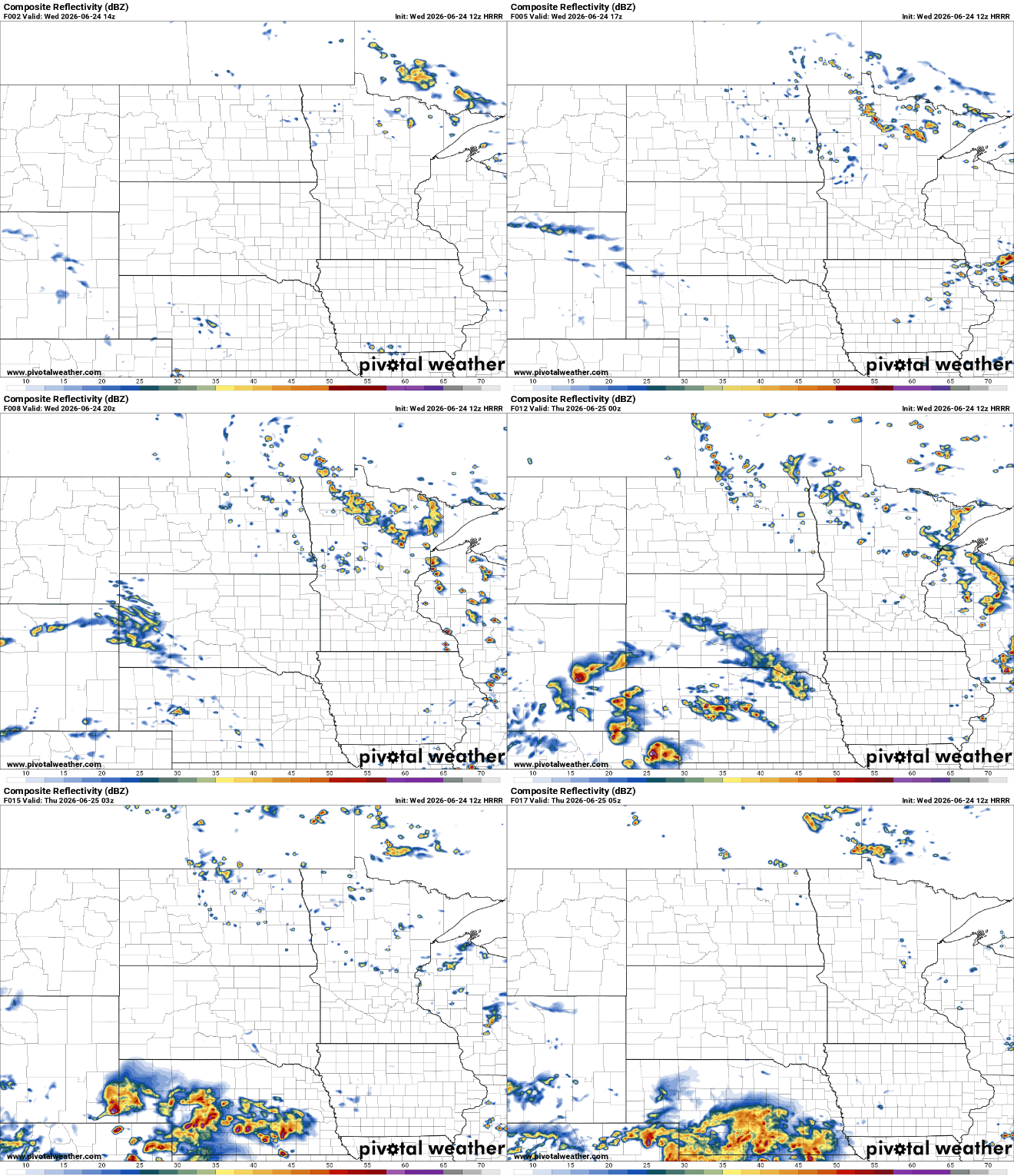
We’ll also have some lingering instability with isolated to spotty pop-up thunder Wednesday afternoon and evening, mainly north of Interstate 94. Northern Minnesota will see isolated thunder Thursday afternoon as well.
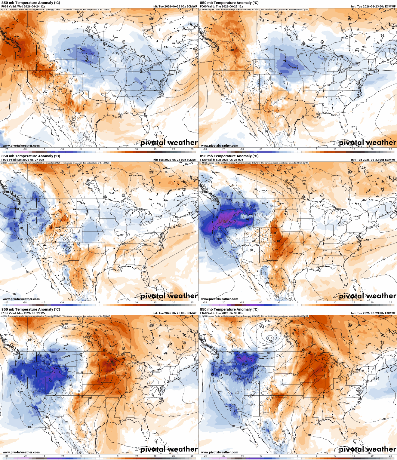
As mentioned, temperatures remain cooler than normal through Friday but we’re completely flipping the weather pattern over the weekend into next week. We’ll go from cooler to hotter-than-normal temperatures, and it will stick around as a significant heat dome develops next week for the central United States.
Turn Up Your Support
MPR News helps you turn down the noise and build shared understanding. Turn up your support for this public resource and keep trusted journalism accessible to all.
Dew points will also be increasing this weekend. We’ll likely see tropical dew points near or into the 70s by Sunday into next week.
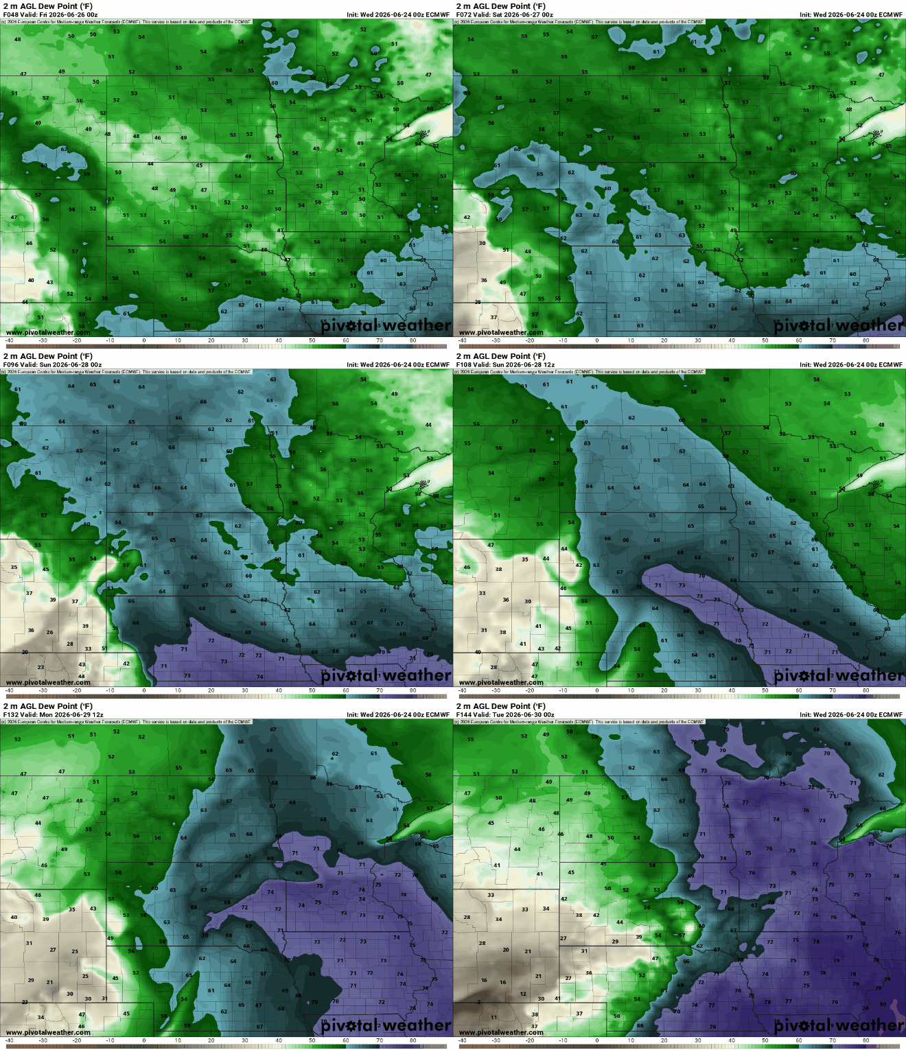
The combination of high dew points and heat will create some potentially dangerous heat index values, especially early next week. Highs Monday could reach the mid to even upper 90s with heat index values in the triple digits.
The global wet bulb temperature will be in the mid-80s. That’s the coolest the surface that one’s skin can cool to. That can lead to heat stress.

The heat looks to stick around a while, too. Most models keep us in the upper 80s to 90s right through the Fourth of July holiday weekend and potentially beyond.

That heat and moisture increase will also increase chances of thunderstorms — mainly in the overnight hours as we’ll be capped — with warm air in the mid-levels, by day, preventing daytime storms.
Needless to say, lakes and pools have been cool as of late but we’ll be warming them up in time for the Fourth of July holiday weekend.

