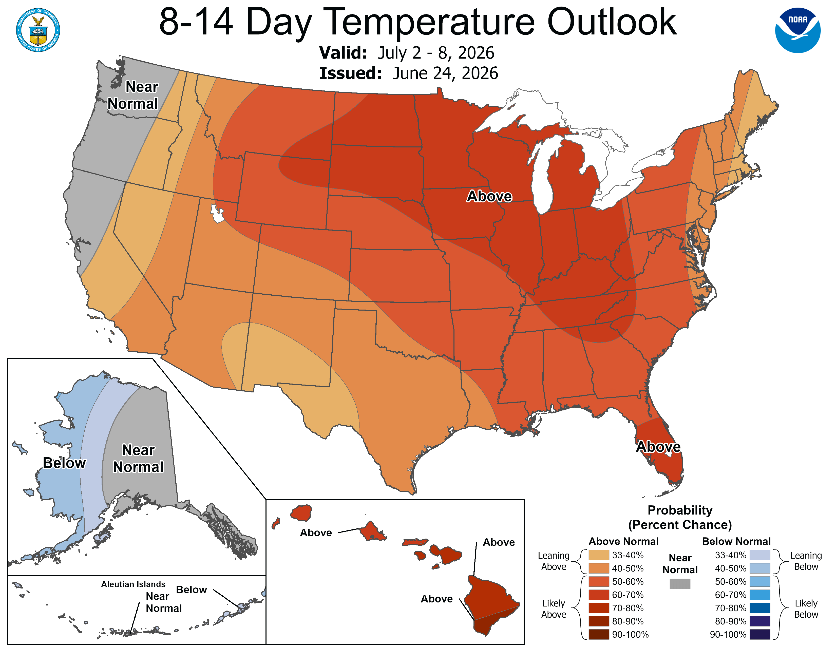
Dangerous heat on tap starting Sunday

Go Deeper.
Create an account or log in to save stories.
Like this?
Thanks for liking this story! We have added it to a list of your favorite stories.


Get ready to bake and take a steam shower at the same time! We’ll be close to 100 degrees in some parts of Minnesota on Sunday and Monday with elevated humidity.

Enjoy the mild temperatures now and Friday because we’re climbing a summery staircase fast.
Mild Thursday, dry and warmer into the weekend
The rest of Thursday should be pretty mild — most will remain in the 70s — with lower humidity and almost totally dry conditions.
Some fog returns Thursday night in the river valleys, especially the Red River Valley in northwestern Minnesota, where fog has been dense lately. Get outside if you want to be comfortable on Thursday.
Turn Up Your Support
MPR News helps you turn down the noise and build shared understanding. Turn up your support for this public resource and keep trusted journalism accessible to all.


Friday and Saturday are still mostly dry but are certainly warmer feeling.
Despite what the purely data-driven weather models might suggest, we will probably be all dry this weekend. That’s a concern as the latest drought conditions report shows much of north-central Minnesota in severe drought.
The air temperatures a few thousand feet up are so extremely warm that they’ll act as a lid or cap over storms forming, effectively snuffing them out before the cloud towers can form.
Right now, we do have the high humidity the Upper Midwest is known for, just not the storms to subsequently cool us back down. The European Centre for Medium-Range Weather Forecasts model still shows storm after storm after storm under the heat dome. We shall see!
Dangerous early week heat
The heat will be downright dangerous Sunday and Monday. The wet-bulb globe temperatures suggest you’ll need to seek ways to cool down. Even the overnight low temperatures are really warm for early July.
We had been watching the chance for intense and drought-aiding thunderstorms forming early next week. That now seems like a distant possibility. Those storms will probably ride the rails on the northern flank of the heat ridge, staying mostly in southern Canada.
What comes after the biggest heat days? Probably more days in the 90s, although not quite as hot. We’ll start pinpointing the Fourth of July forecast soon.