
Enjoy a couple more cooler days before the heat builds
Next week looks hot and occasionally stormy
Go Deeper.
Create an account or log in to save stories.
Like this?
Thanks for liking this story! We have added it to a list of your favorite stories.


We’ll have a pleasant enough day with highs mostly in the 70s Thursday and Friday. A prolonged stretch of hot, humid weather builds in this weekend into next week.
Enjoy a couple more cooler days before the heat builds
We have some areas of fog and low clouds to burn off this morning making way for partly cloudy midday and afternoon skies. Temperatures will be in the 70s across most of the state except the North Shore.

There will be some lingering instability with cool air aloft yet in northern Minnesota. Northern Minnesota could still see a couple isolated showers or thunder Thursday afternoon.
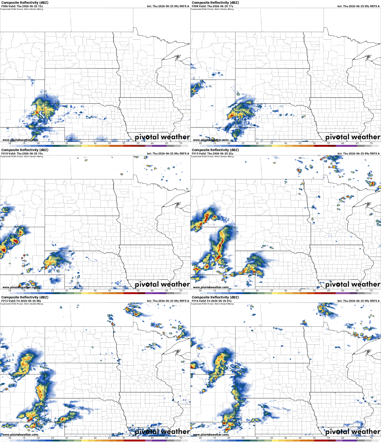
Friday will be our last somewhat cooler day with temperatures averaging a few degrees cooler than normal, in the mid to upper 70s. There may be an isolated thundershower in western Minnesota.
Turn Up Your Support
MPR News helps you turn down the noise and build shared understanding. Turn up your support for this public resource and keep trusted journalism accessible to all.

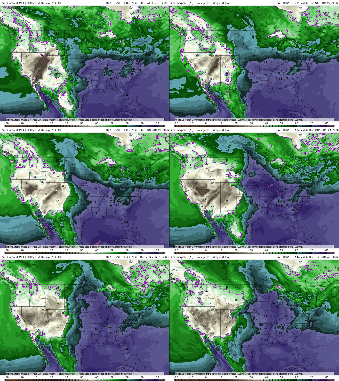
Then get ready for heat and humidity. Saturday won’t be too steamy yet, but highs will reach the 80s in the Twin Cities for the first time in two weeks and dew points will creep up by the evening and overnight Saturday night.
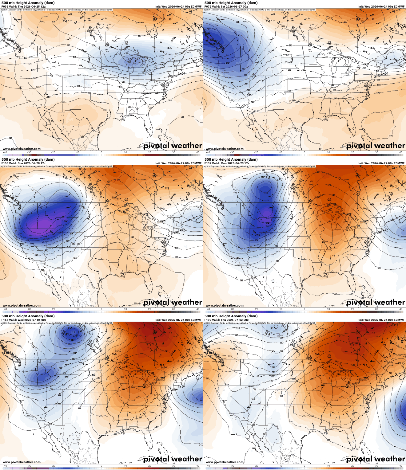
The heat is likely sticking around and may peak early next week. A heat dome will be setting up in the central U.S., creating temperatures well into the 80s and 90s for at least a week, if not more.
Highs Monday could be in the mid to upper 90s, combined with dew points that will be in the 70s. That will make for potential heat index values in the triple digits across the southern parts of Minnesota.

Here are some other highs and heat indices for the area into next week. Another important measurement is the global wet bulb temperature which is the theoretical temperature our skin can cool to given the conditions of sun, wind, and dew point. That will reach the mid to upper 80s Monday which can lead to rapid heat stress.

There will be chances of storms, too, but timing and placing them at this point is still a bit obscure. We’ll likely be capped, or too warm aloft for daytime storms, but overnight and early mornings may yield rain and thunder on some days early next week. As of Thursday morning the best chances appear to be Monday night into Tuesday with perhaps some isolated activity Saturday night or Sunday.

