
Two-week cool streak ends as dangerous heat arrives
Temperatures and dew points rapidly increase into the weekend

Go Deeper.
Create an account or log in to save stories.
Like this?
Thanks for liking this story! We have added it to a list of your favorite stories.


After several days of comfortable temperatures, our weather pattern is about to undergo a dramatic shift.
A prolonged stretch of summer heat will begin Sunday and continue through much of next week, bringing dangerous heat, high humidity and periodic chances for strong to severe thunderstorms.
One more day of comfortable temperatures
For nearly two weeks, we've enjoyed a stretch of unusually cool weather with afternoon highs stuck in the 70s, well below average for late June. We’ll have one more day with high temperatures in the 70s with a bit of cloud cover for our Friday.

A few isolated showers or thunderstorms are possible late Friday afternoon into the early evening hours, focusing mainly in central and northern Minnesota.
Turn Up Your Support
MPR News helps you turn down the noise and build shared understanding. Turn up your support for this public resource and keep trusted journalism accessible to all.
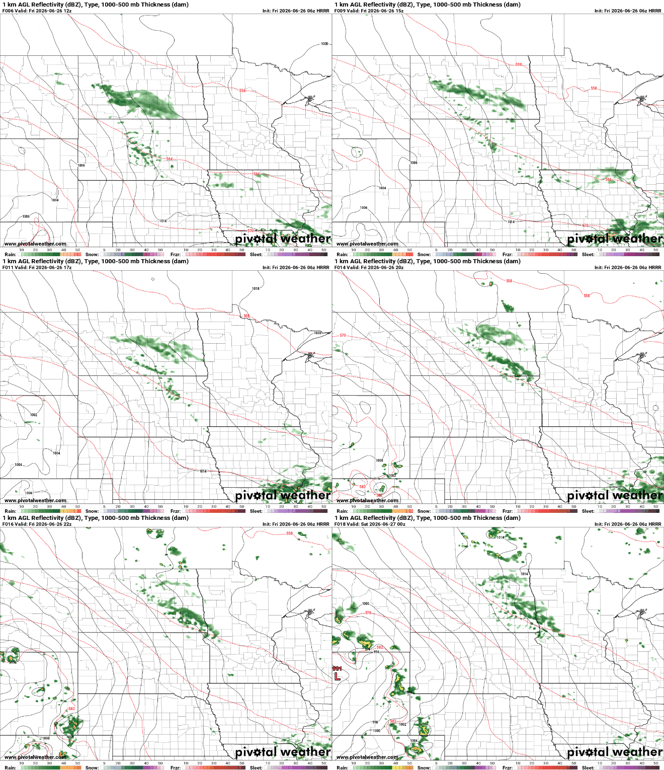
Saturday marks the beginning of the warming trend. High temperatures will climb into the mid-80s with noticeably higher humidity. Thunderstorms are expected to develop across the Dakotas Saturday afternoon but the majority of that activity should remain north.

Sunday is when summer truly arrives.
High temperatures will surge into the 90s across much of Minnesota and Wisconsin while dew points climb into the upper 60s and lower 70s. That combination will push afternoon heat index values close to and above 100 degrees in many locations.

A strong cap of warm air several thousand feet above the ground should limit thunderstorm development across much of the area during the daytime. However, we'll be watching northern Minnesota and parts of central Minnesota Sunday night, where the cap may weaken enough for thunderstorms to develop.
A slight risk is highlighted for this area, and if storms do form, a few could become severe while also producing very heavy rainfall.

Monday continues to look like the peak of this heat wave.
Actual air temperatures are expected to reach the middle and upper 90s, with some locations potentially approaching 100 degrees. Combined with tropical humidity, heat index values between 105 and 110 degrees are possible if skies remain mostly sunny.

The biggest concern won't just be the daytime heat, it will be the lack of overnight cooling. Warm, muggy nights will provide little relief, increasing the risk of heat-related illnesses over several consecutive days.

Another way to visualize the severity of this upcoming heat wave is through the National Weather Service's HeatRisk forecast. The latest forecast places much of Minnesota in the major (red) risk category, indicating that the level of heat is likely to affect anyone without adequate cooling or hydration.
If you're unfamiliar with the HeatRisk program and what each category means, I wrote a previous Updraft article explaining how it works.

Our severe weather chances remain conditional at this point due to the amount of capping that is possible. If storms are able to break through the cap, they could become intense very quickly. Large hail, damaging winds, torrential rainfall and tornadoes are all possible.
The overall weather pattern isn't expected to change much through the remainder of the week. At this point, confidence is much higher in the dangerous heat than in exactly where thunderstorms will develop.

