Stormy start to Sunday, dangerous heat ahead
Potential for an active week of weather
Go Deeper.
Create an account or log in to save stories.
Like this?
Thanks for liking this story! We have added it to a list of your favorite stories.


A stormy start to Sunday with thunderstorms before an extended stretch of dangerous heat and humidity settles in for much of the week.
Stormy start, heat building in for the week
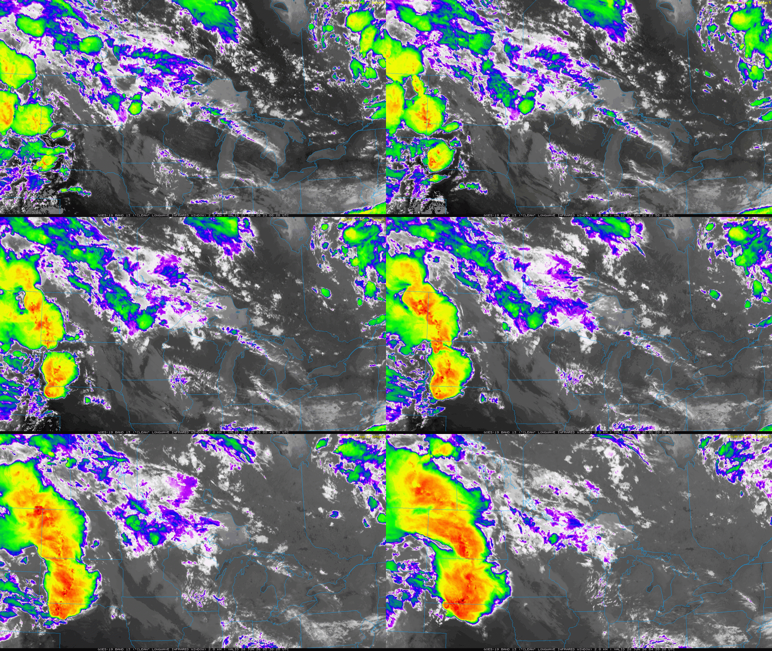
A stormy, rainy start to our Sunday as a complex of thunderstorms that erupted across the Dakotas late Saturday afternoon into early Sunday continues marching east across Minnesota Sunday morning. Some of these storms may produce strong wind gusts at times.
Once the morning storms move out, conditions will quickly turn hot and increasingly humid. A warm front lifting north will usher in tropical air, while a layer of warm air aloft is expected to limit additional storm development through the afternoon and evening across much of Minnesota.
Our temperatures will climb into the upper 70s to lower 80s across northern Minnesota, while areas closer to the warm front will warm into the lower to upper 80s. Humidity will also increase throughout the day, with dew points rising through the 60s to near 70, making it feel noticeably more muggy by the afternoon.
Turn Up Your Support
MPR News helps you turn down the noise and build shared understanding. Turn up your support for this public resource and keep trusted journalism accessible to all.

The dangerous heat begins on Monday which is our biggest weather story this week.
An extreme heat warning is in effect for Monday as temperatures climb into the mid-90s. Combined with dew points in the 70s, heat index values are expected to reach or exceed 105 degrees.

Although the heat will dominate the forecast, daily chances for thunderstorms remain in place through much of the week. Another round of thunderstorms is possible Monday evening into Monday night, with a slight risk for severe weather encompassing much of the state.

Forecast confidence in the exact timing and location of storms remains low, but any storms that do develop could become strong to severe. The atmosphere will be loaded with heat, humidity and instability, creating the potential for damaging winds, large hail and torrential rainfall.
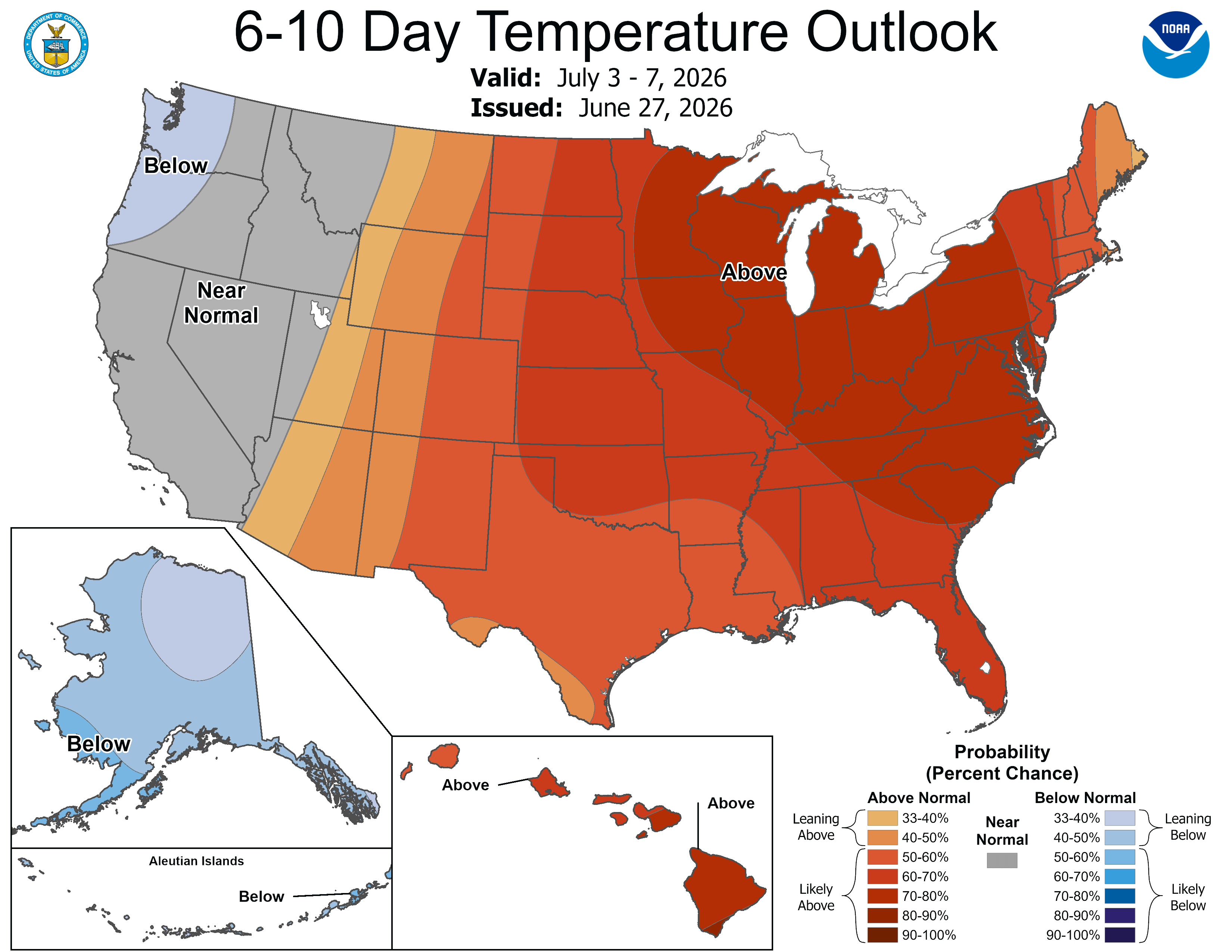
Hot and humid weather is expected to continue through the workweek and possibly into the holiday weekend. So long to our cooler second half of June, as summer is set to make a comeback with several days of above-average temperatures and uncomfortable humidity.