
Additional storm chances and continued hot and muggy overall
Temps will cool slightly by Sunday

Go Deeper.
Create an account or log in to save stories.
Like this?
Thanks for liking this story! We have added it to a list of your favorite stories.


Overall the pattern remains the same with occasional storm chances combined with overall hotter and muggy conditions through the weekend.
More storm chances; continued hot and muggy
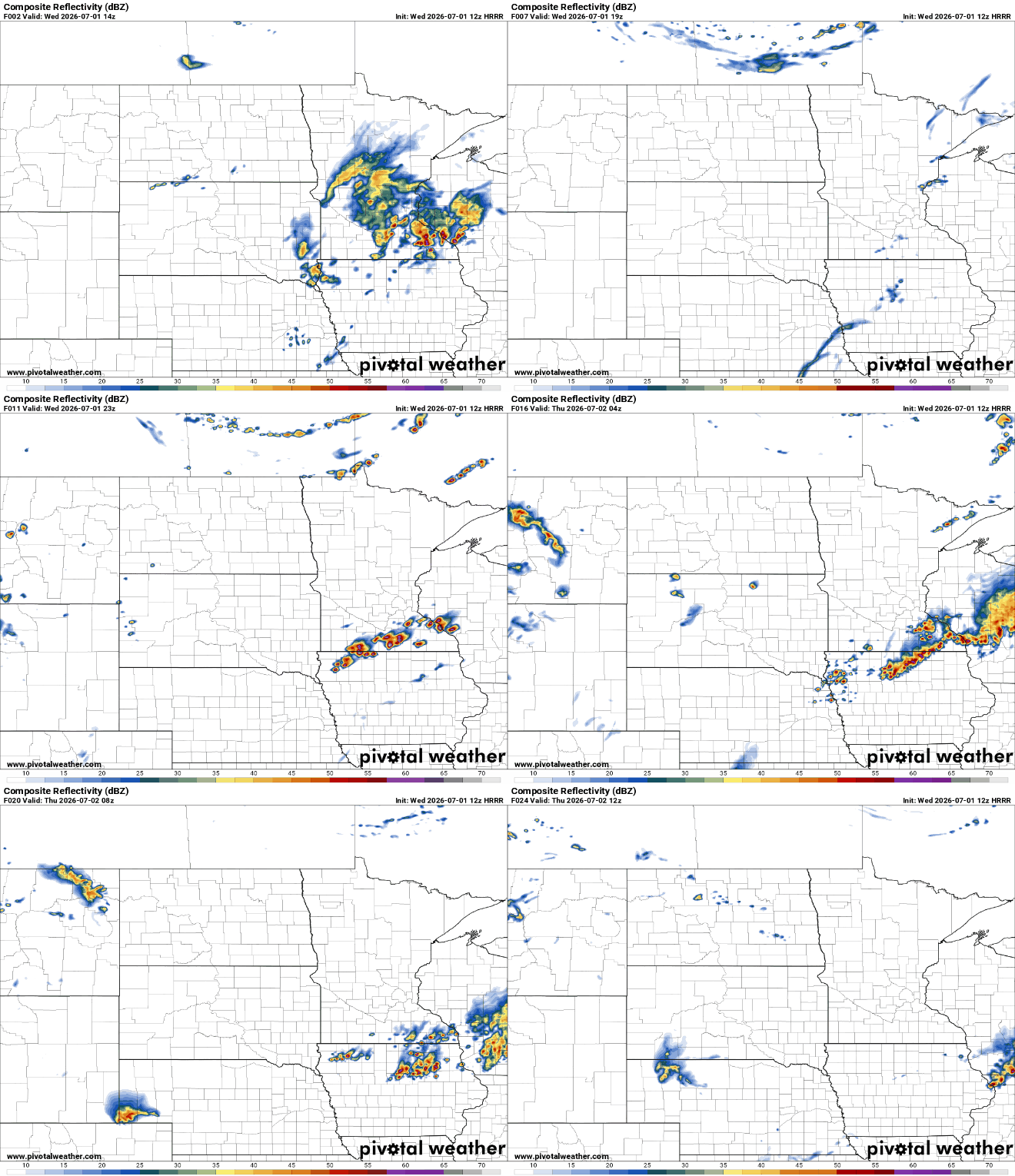
Round 1 of storms continues to move out across southern Minnesota Wednesday morning. Storms dropped up to 1 to 3 inches of rain in portions of southern Minnesota, creating some flash flooding concerns.
We’ll see some afternoon sunshine and with more storms developing late Wednesday afternoon and evening in southern Minnesota into the overnight. Those late day storms have a higher risk of producing severe weather.
There’s an enhanced (level 3 of 5) severe risk across southern Minnesota into western Wisconsin for severe storms Wednesday into Wednesday night.
Turn Up Your Support
MPR News helps you turn down the noise and build shared understanding. Turn up your support for this public resource and keep trusted journalism accessible to all.
We’re particularly concerned about high wind gusts greater than 70 mph.
The map below offers a look at one such forecast model’s wind gust output. Don’t pay attention to the precise location of the gusts but the general area.

Wednesday will be a touch cooler due to the morning clouds and thunderstorms with highs mainly in the 80s but it will still be muggy.
Thursday will be hotter and muggy again with partly cloudy skies. Afternoon highs will be near 90 across southern Minnesota with mainly 80s north. It will be dry much of the daytime.

We’ll likely see at least scattered storms develop late Thursday into Thursday night, potentially lingering into Friday morning.
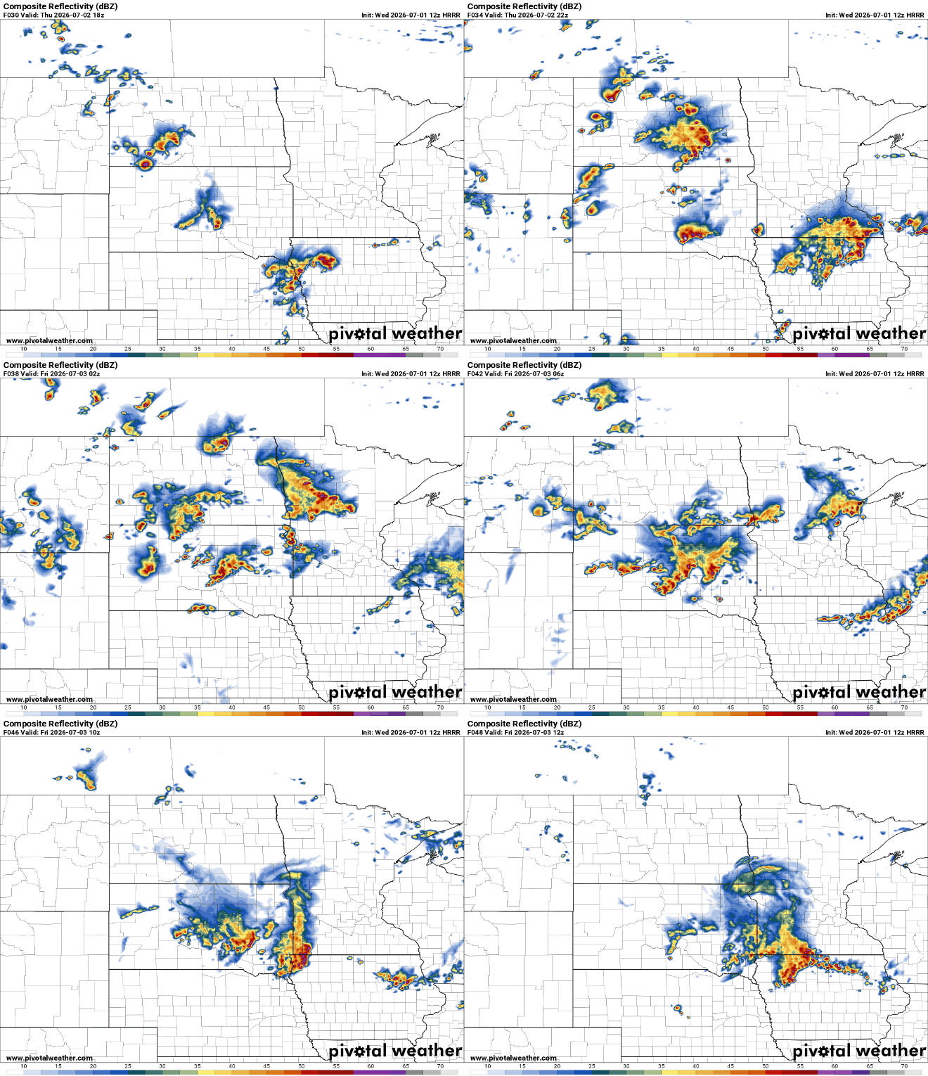
There is a slight risk (level 2 of 5) for severe storms Thursday into Thursday night as well.

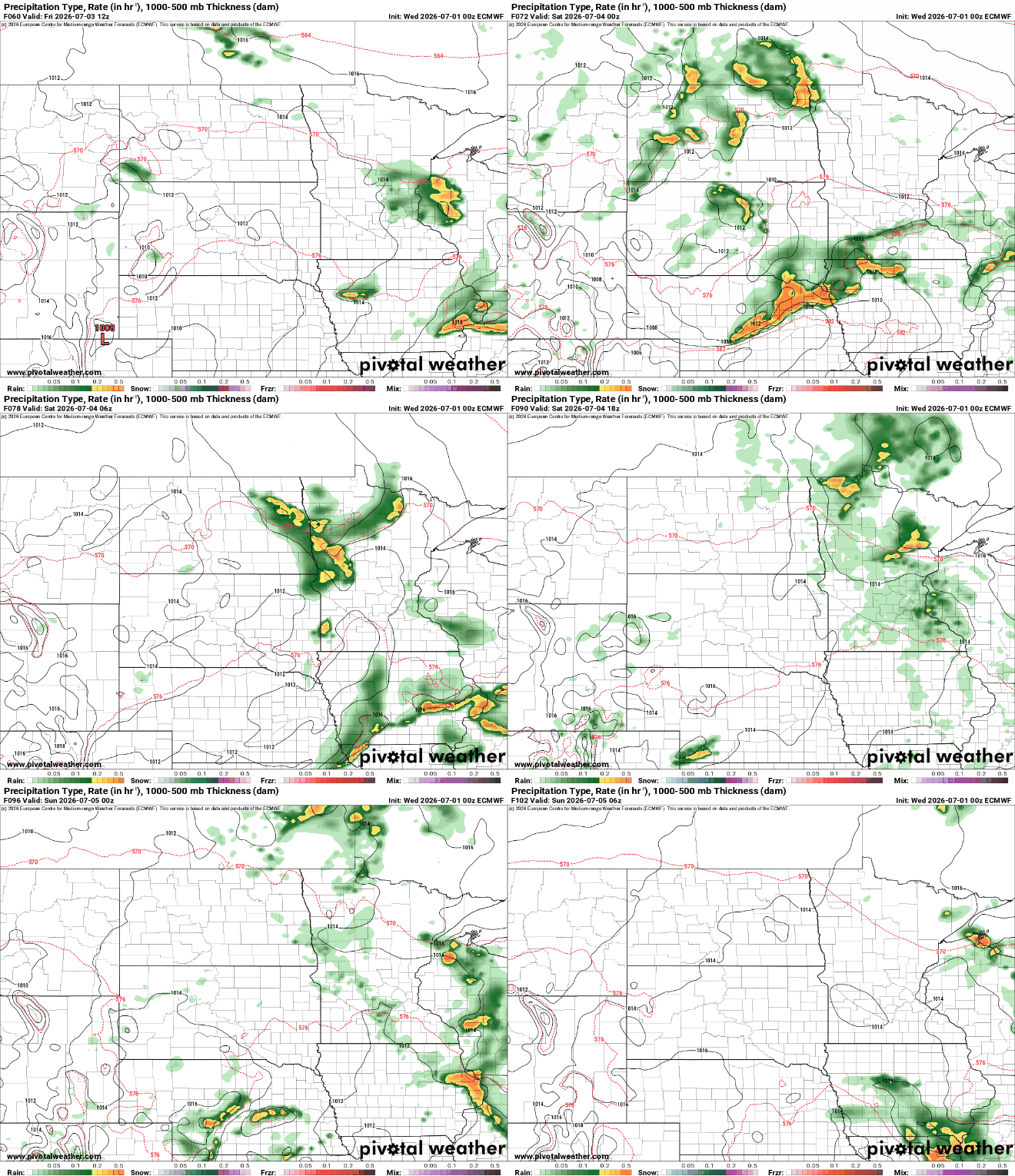
The pattern remains unsettled into Saturday night with some storms possible Friday night and late Saturday as a weak cool front advances across Minnesota.
Sunday and Monday will bring a slight drop in temperatures and dew points.

