
4th of July parades get a pass, storms return this afternoon
Seasonal temperatures through the holiday weekend

Go Deeper.
Create an account or log in to save stories.
Like this?
Thanks for liking this story! We have added it to a list of your favorite stories.


Happy Fourth of July! Most of today's celebrations will have favorable weather, but a few isolated storms could briefly interrupt the festivities.
Dry start to holiday, storms move in by afternoon
A quiet start to our holiday with no weather concerns for parades, fun runs, or other outdoor celebrations.
It will be a bit muggy, though, with dew points in the 60s and temperatures climbing into the lower to middle 80s under a mix of sun and clouds.

As we head into Saturday afternoon and evening, keep an eye on the sky. Mother Nature has her own version of fireworks planned, with summer-like storms developing as early as 2 p.m.
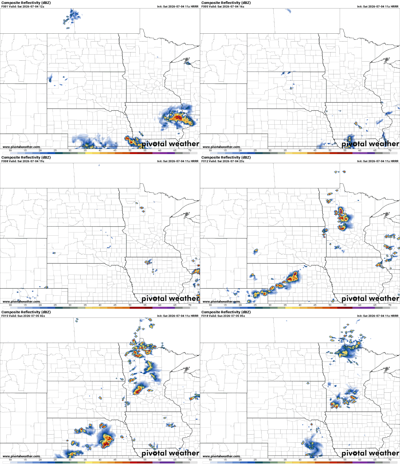
Many areas will stay dry, but if a storm develops, expect frequent lightning, brief heavy downpours, and gusty winds. A couple of storms could briefly become strong or even severe, but widespread severe weather is not expected. The Storm Prediction Center has the state in a marginal risk (level 1 of 5).

The biggest challenge for the holiday forecast is that these storms will be very hit-or-miss, making it difficult to pinpoint exactly where they'll form. If you have outdoor plans, especially fireworks later this evening, have a way to receive weather alerts and be prepared to move indoors.
Looking ahead, the weather settles down nicely for the rest of the holiday weekend. Sunday and Monday will be warm, humid, and mainly dry with only a few fair-weather clouds. Our next chance for showers and thunderstorms arrives late Tuesday and continues into Wednesday.
Turn Up Your Support
MPR News helps you turn down the noise and build shared understanding. Turn up your support for this public resource and keep trusted journalism accessible to all.

