
Keep an eye on the sky for fireworks
Storm chances continue Saturday evening

Go Deeper.
Create an account or log in to save stories.
Like this?
Thanks for liking this story! We have added it to a list of your favorite stories.


If you're planning to wrap up your Independence Day with fireworks, don't forget to check the radar before heading out. While the weather won't be a washout, scattered thunderstorms could develop Saturday evening and briefly impact some celebrations.
Mother Nature’s own fireworks
Keeping an eye on the radar will be very important heading into our Independence Day evening festivities. The forecast calls for isolated to scattered thunderstorms through about 9 p.m. to 10 p.m. While not everyone will see rain, some areas could have storms develop with little warning. Many locations may stay dry long enough for fireworks displays, while others could experience brief delays or interruptions.

Any storm that develops could bring frequent lightning, heavy downpours, gusty winds, and hail up to one inch in diameter. Heavy rainfall and larger hail has been reported with storms that fired off earlier Saturday. Most of these storms are expected to be short-lived, rapidly developing before weakening just as quickly. However, a few could briefly become strong to severe.
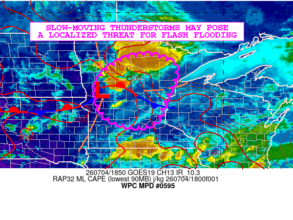
The greatest concentration of storms is expected across central Minnesota through around 6 p.m. As the evening progresses, storm coverage should become more isolated. During the prime time for fireworks, from roughly 8 p.m. to 10 p.m., there is still about a 30 to 40 percent chance of a shower or thunderstorm across much of Minnesota and western Wisconsin.
Turn Up Your Support
MPR News helps you turn down the noise and build shared understanding. Turn up your support for this public resource and keep trusted journalism accessible to all.
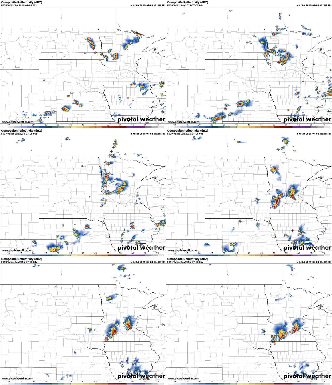
After 10 p.m., storm chances decrease quickly, although an isolated shower or thunderstorm cannot be ruled out across southern Minnesota into the early overnight hours. Because these storms have been very scattered, it is difficult to predict exactly where they will develop.
The bottom line is that there is no reason to cancel outdoor plans, but it is important to remain weather-aware.
Looking beyond Saturday night, the weather improves nicely to finish the holiday weekend. Sunday and Monday are expected to be warm and mainly dry, with highs in the 80s and plenty of sunshine.

The next widespread opportunity for showers and thunderstorms is expected to arrive late Tuesday into Wednesday as a stronger weather system moves into the Upper Midwest.

