
Mostly quiet with a few isolated storms
Temperatures continue trending around average

Go Deeper.
Create an account or log in to save stories.
Like this?
Thanks for liking this story! We have added it to a list of your favorite stories.


After a wet and stormy holiday weekend, quieter weather returns for Sunday and Monday. However, the forecast becomes much more active by Tuesday night as the potential for severe thunderstorms and heavy rain continues to increase.
Quiet end to the weekend, some isolated storms possible
High pressure building into the region will keep most locations dry for Sunday. However, an area of deeper moisture lingering across eastern Minnesota and far western Wisconsin may be enough to spark a few isolated showers and thunderstorms.
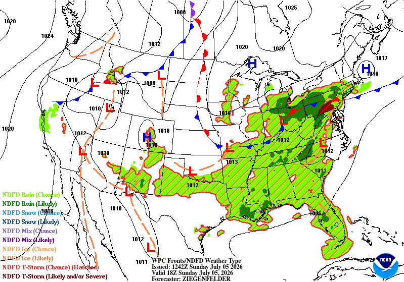
Temperatures will climb into the 80s across much of the region on Sunday, with warmer upper 80s to lower 90s expected in the Red River Valley. Along the North Shore, cooler onshore winds will keep highs in the comfortable 70s.
Any isolated showers or thunderstorms that develop late Sunday afternoon will be confined mainly to eastern and southeastern Minnesota, as well as western Wisconsin. Storm coverage will remain very limited, and any storms that do form are expected to produce brief periods of heavier rainfall with little to no severe weather threat.
Turn Up Your Support
MPR News helps you turn down the noise and build shared understanding. Turn up your support for this public resource and keep trusted journalism accessible to all.
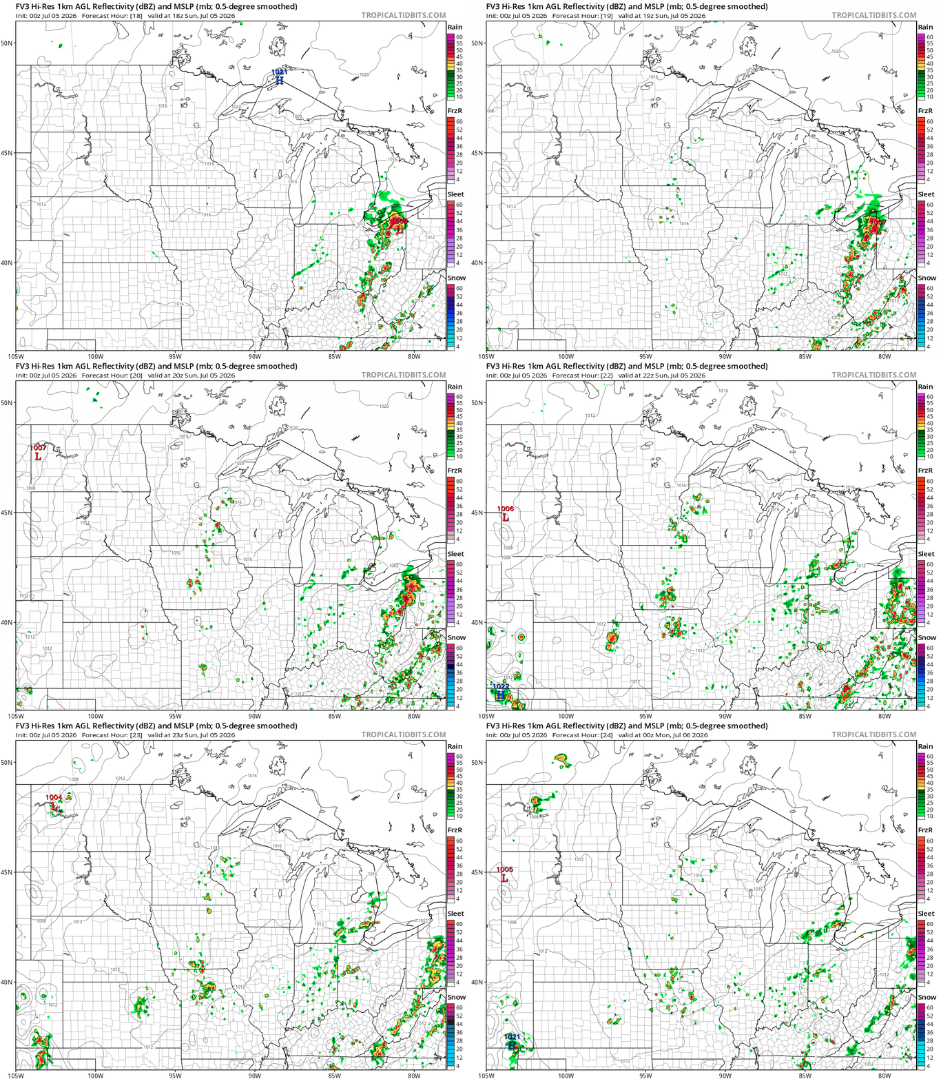
Monday will begin dry with afternoon temperatures climbing into the mid to upper 80s. A cold front approaching from North Dakota may trigger showers and thunderstorms across northwestern Minnesota during the afternoon. As these storms track southeast Monday evening, they are expected to gradually weaken.

Tuesday is the period we're watching most closely.
A favorable summertime pattern is coming together for the development of a large thunderstorm complex, known as a mesoscale convective system (MCS), across the Dakotas Tuesday afternoon.
The Storm Prediction Center has highlighted much of Minnesota in a marginal (level 1 of 5) to slight risk (level 2 of 5) for severe storms, emphasizing this as the area of greatest concern heading into the middle of the week.

Behind the midweek storm system, much more comfortable air arrives for Thursday through Saturday.
High temperatures will settle into the lower 80s with noticeably lower humidity, as dew points fall back into the upper 50s and lower 60s. It should make for several pleasant July days with mainly dry weather expected.

