Hot, dry weekend on the way across Minnesota
Advisories, watches posted for coming heat; flash drought possible

Go Deeper.
Create an account or log in to save stories.
Like this?
Thanks for liking this story! We have added it to a list of your favorite stories.


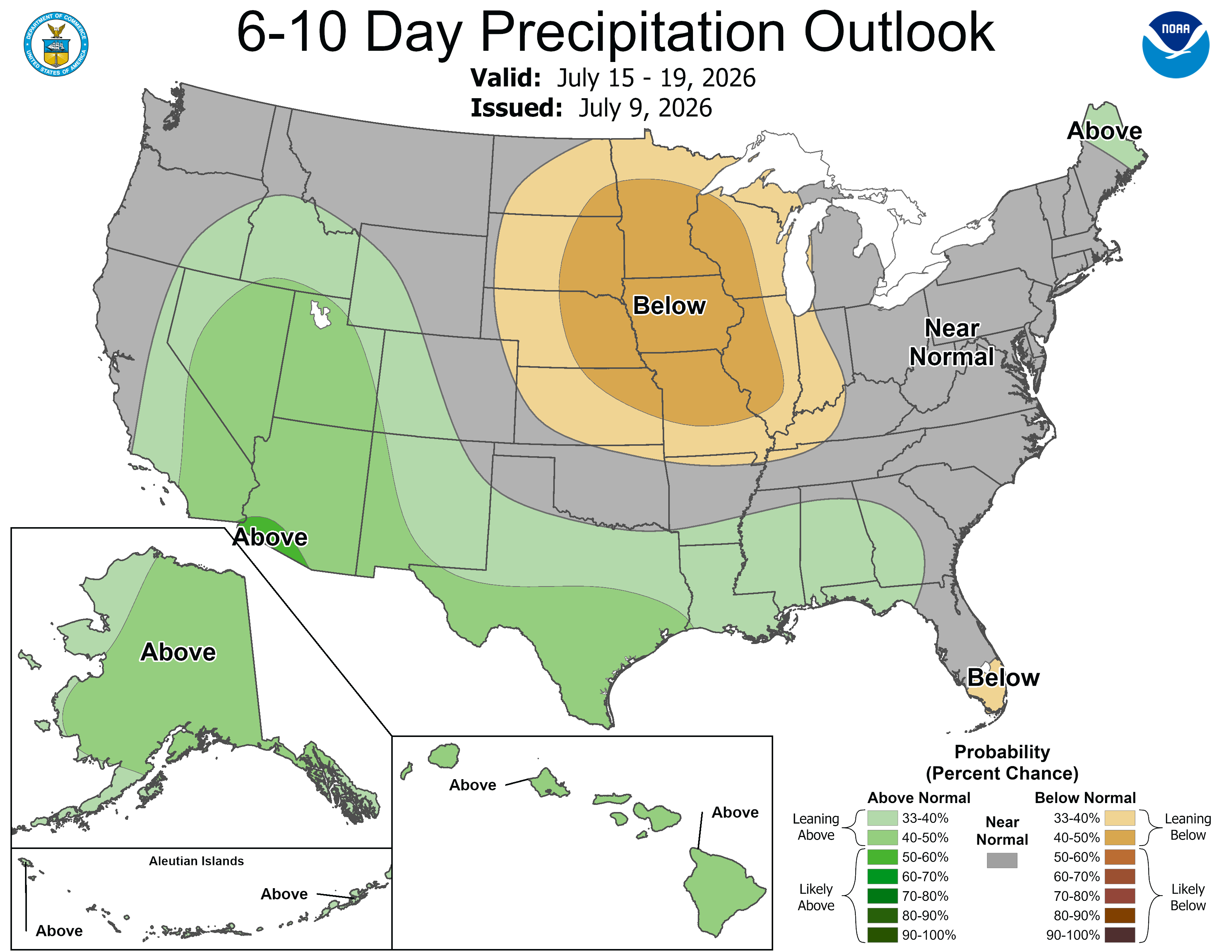
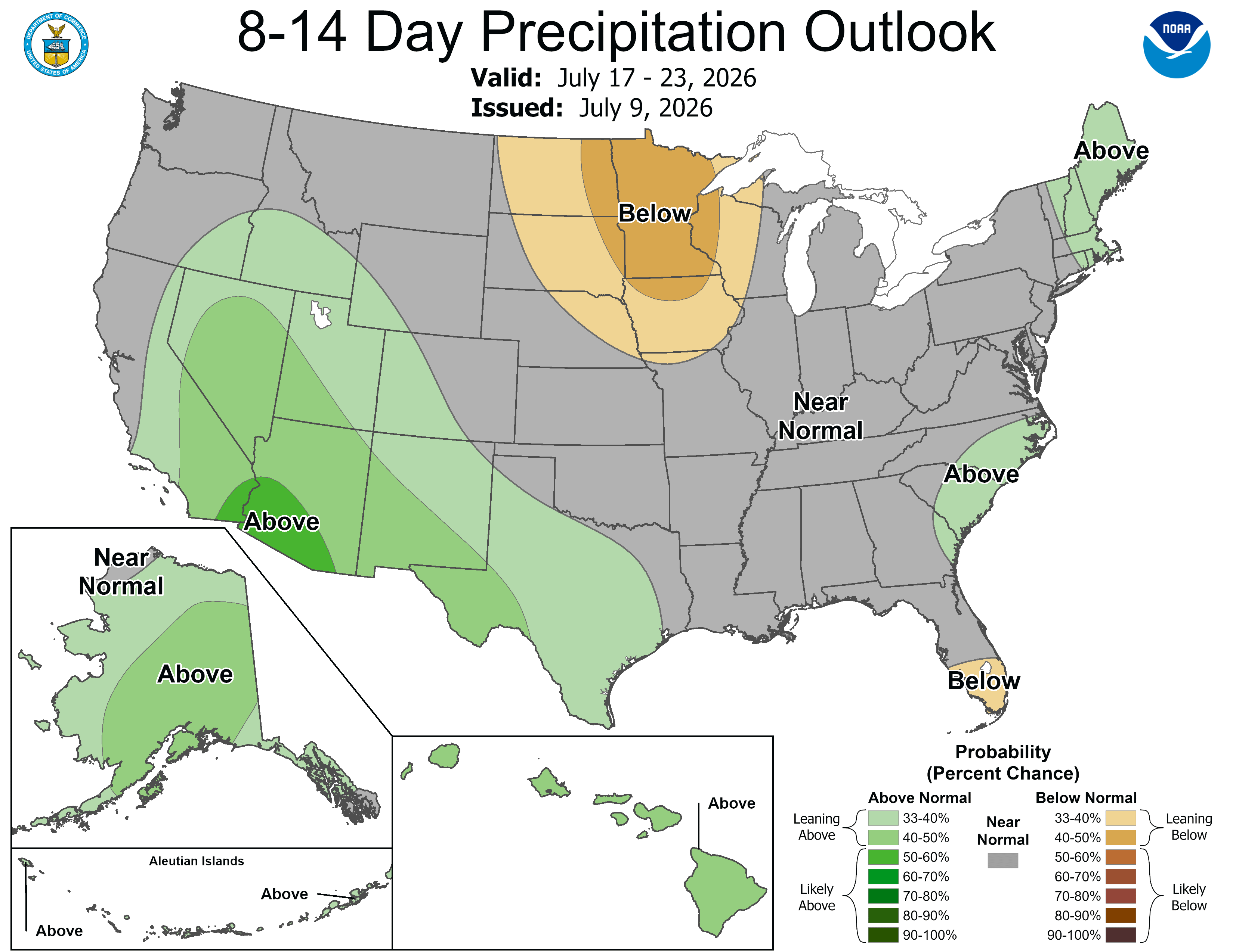
Apart from a very few showers in the coming days, the weather story this weekend is all about a developing heat wave. While the air will be drier than during the hot spell a few weeks ago, there’s still an intense risk of heat exhaustion.
Gorgeous Friday before the heat
Enjoy Friday! It’s a little hazy over the Twin Cities right now. There is no wildfire smoke to speak of, no Saharan dust, and no real air quality issues, so this is a little bit of a mystery.
For almost everyone, it’s a gorgeous and slightly warmer-than-average day across the state of Minnesota. We’ll be in the mid to upper 80s.
One or two baby thunderstorms could develop in the Driftless area of southeastern Minnesota and in the far north. The overnight rain Friday into Saturday that was showing up is not materializing quite as much on the newest data coming into the weather center.
Turn Up Your Support
MPR News helps you turn down the noise and build shared understanding. Turn up your support for this public resource and keep trusted journalism accessible to all.

Apart from the heat, there is not much active weather to speak of. Just reapply lots of sunscreen and drink lots of water. It’s going to be toasty, but for summer, this is not record breaking.
Summer heat will build this weekend and last into next week, with afternoon highs in the low 90s, and overnight temperatures falling to near 70 #mnwx #wiwx pic.twitter.com/MV0va1JAkr
— NWS Twin Cities (@NWSTwinCities) July 10, 2026
Among the events this weekend, the Twins play the Angels at Target Field, the Minnesota Country Club Music Festival comes to St. Paul and the Prairie Island Indian Community hosts a powwow in Welch, Minn.
90s Sunday and beyond
We should be in the lower-to-middle 90s on Sunday all across the state, even up at the Boundary Waters and Lake of the Woods, which is a little more uncommon that far north.

My phone has been dinging all Friday with heat advisories and extreme heat watches. Soon enough, most folks will be under some type of heat or air quality alert.
The heat continues pretty much unabated well into next week. There may be a little front moving slowly north to south on Wednesday into Thursday but that’s about it. Several weather maps have big rains in northern Minnesota on Saturday next week.