
Heat wave moving in: Several days of hot, dry weather ahead
Heat advisories issued with heat indices topping triple digits

Go Deeper.
Create an account or log in to save stories.
Like this?
Thanks for liking this story! We have added it to a list of your favorite stories.


Summer is turning up the heat as a prolonged stretch of hot and dry weather begins Saturday, with little relief expected through at least the middle of next week.
Feeling like summer
Summer is on full display this weekend with temperatures soaring into the 90s and heat index values topping the triple-digit mark. Our dew points won't be as record-breaking as they were in late June, but they'll still be oppressive, ranging through the upper 60s and low 70s.
Saturday’s high temperatures will warm into the upper 80s to low 90s, with warmer conditions expected in northwestern Minnesota.

A heat advisory is in effect for much of northern Minnesota, where temperatures and humidity will combine to produce the highest heat stress. Across southern and central Minnesota, conditions will remain just below advisory criteria, but it will still be uncomfortably hot with heat index values climbing into the mid to upper 90s.

The hottest stretch of the forecast arrives Sunday and continues into early next week.
Afternoon highs are expected to reach the low to mid-90s in southern Minnesota, and upper 90s for northern portions for Sunday and Monday, while humidity remains elevated. Heat index values will once again approach 100 degrees during the afternoon hours.
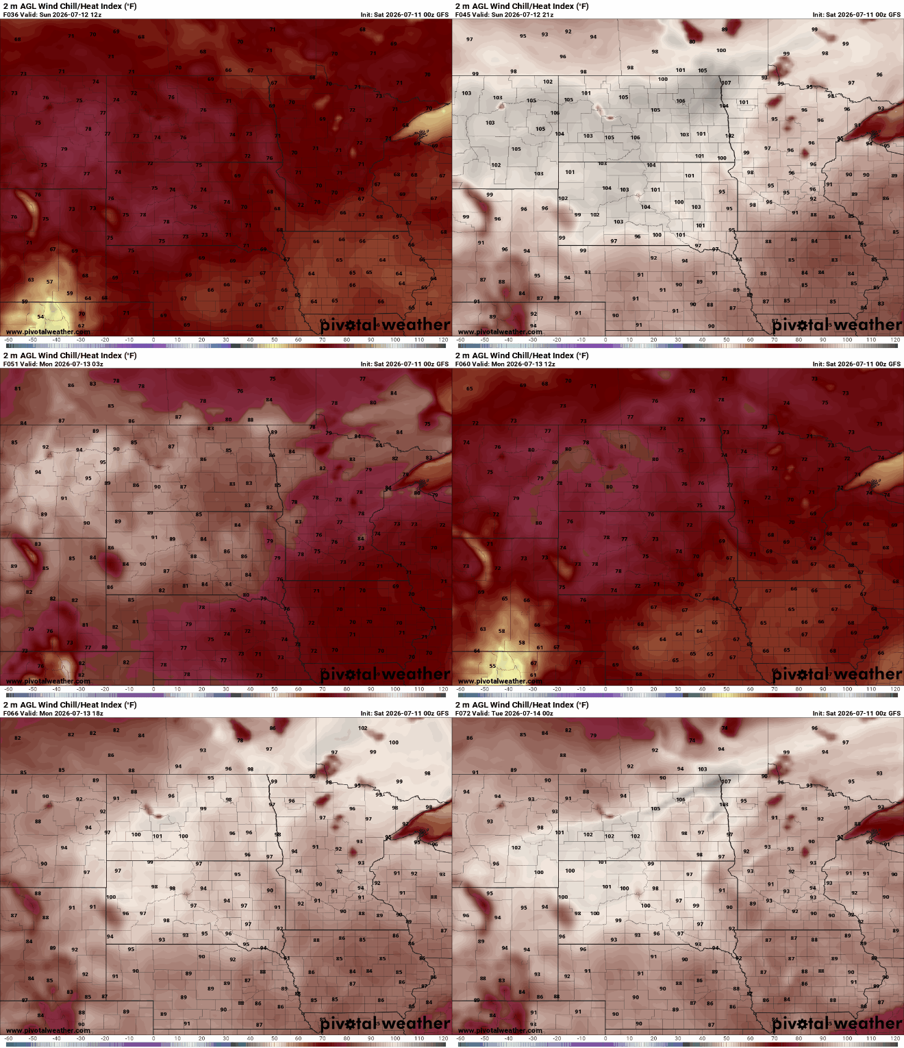
This strong upper-level ridge of high pressure will expand and strengthen as it shifts into the Northern Plains, bringing several days of sunshine, limited rainfall, and steadily rising temperatures. Remember to practice heat safety during this prolonged stretch of summer heat.

Turn Up Your Support
MPR News helps you turn down the noise and build shared understanding. Turn up your support for this public resource and keep trusted journalism accessible to all.

