
Heat dome set to double the Twin Cities' 90-degree days this week
Hot, dry, steamy conditions through the work week
Go Deeper.
Create an account or log in to save stories.
Like this?
Thanks for liking this story! We have added it to a list of your favorite stories.


This week's heat wave will quickly close the gap between this year's slow start and a more typical summer, adding several more 90-degree days in just one week.
Racking up the 90s this week
After a relatively modest start to summer, the Twin Cities are about to make up for lost time.
As of this weekend, Minneapolis-St. Paul has officially recorded four 90-degree days for 2026. By the time this week's heat dome loosens its grip, that total will likely double to around eight or nine days, with afternoon highs expected to reach the low to mid-90s nearly every day through the end of the workweek.
According to the Minnesota Department of Natural Resources, the Twin Cities average about 13 days at or above 90 degrees in a typical year. While we're still running behind the average number of 90-degree days for mid-July, this week's prolonged stretch of heat will quickly close the gap and serve as a reminder that summer is firmly in control.
Turn Up Your Support
MPR News helps you turn down the noise and build shared understanding. Turn up your support for this public resource and keep trusted journalism accessible to all.

Sunday's heat was already rewriting the record books across northern Minnesota.
International Falls soared to 98 degrees, breaking the previous daily record of 96, set in 1921. Hibbing also established a new daily record, reaching 92 degrees to surpass the old mark of 91, which had stood since 1966 and was tied again in 1969.
An extreme heat warning remains in effect across much of the Northland, while portions of central Minnesota are under a heat advisory. The core of the Twin Cities metro is also under an extreme heat warning through Tuesday evening, as dangerously hot temperatures combined with tropical humidity push heat index values into the upper 90s and low 100s.

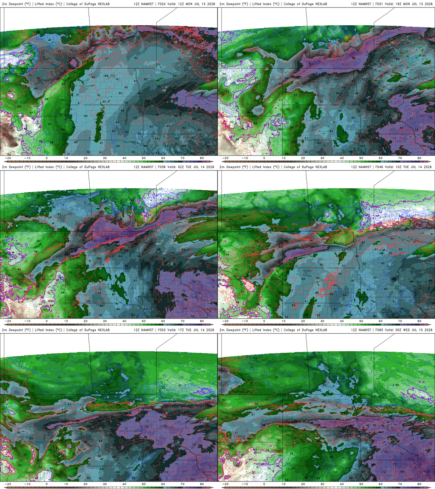
Dew points are forecast to rise into the mid-60s and even the low 70s, adding a layer of tropical humidity to the air. While air temperature tells us how hot it is, the dew point measures how much moisture is in the atmosphere. As dew points climb, it becomes more difficult for sweat to evaporate, making it harder for the body to cool itself. This is what can lead to heat illnesses.
By week's end, the summer of 2026 will look much more typical on the thermometer, with the Twin Cities having nearly doubled its count of 90-degree days in just a matter of several days.

