
Excessive heat persists
Little chance of rain in the next several days

Go Deeper.
Create an account or log in to save stories.
Like this?
Thanks for liking this story! We have added it to a list of your favorite stories.


Extreme heat warnings and heat advisories Monday and Tuesday. There is little chance of rain ahead. Temperatures cool off by the weekend slightly.
Excessive heat persists
Extreme heat warnings and heat advisories persist Monday into late Tuesday for much of central and northern Minnesota. There are also red flag warnings posted for northern Minnesota Monday afternoon and evening due to elevated fire weather conditions.
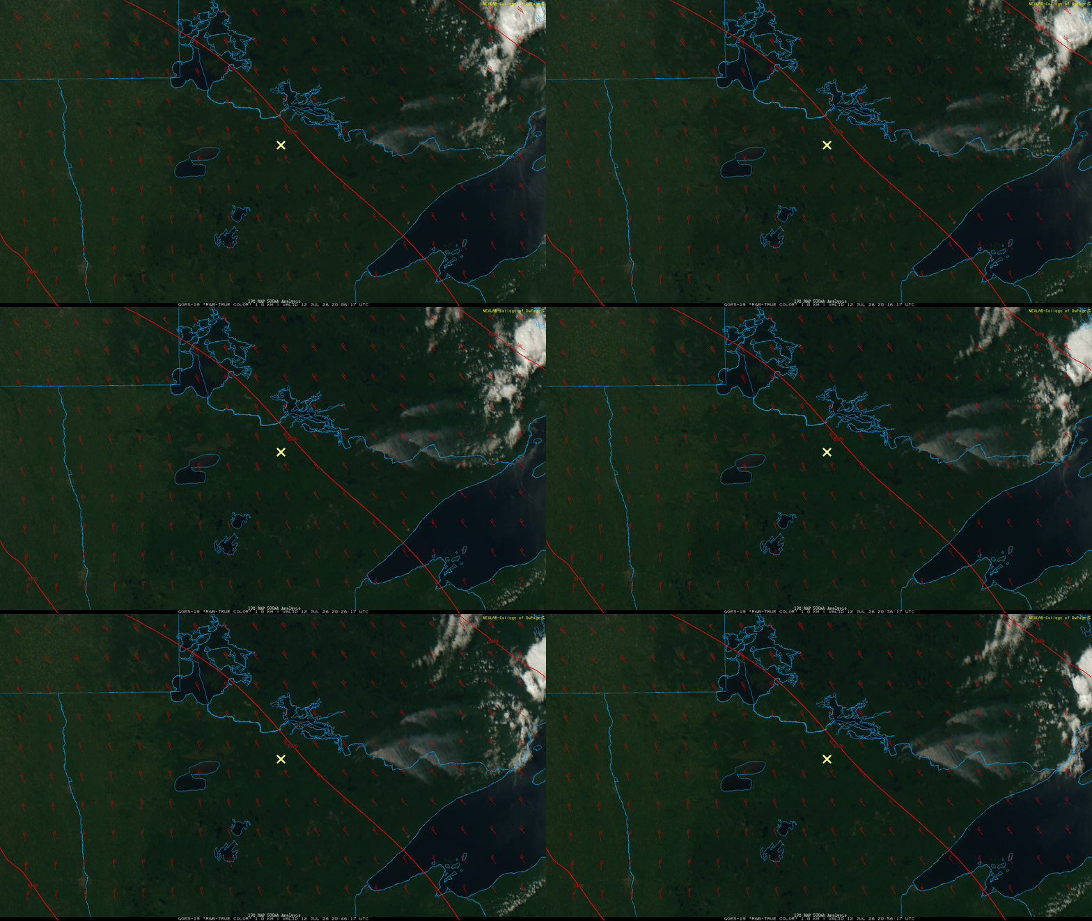
Fires continue in far northern Minnesota where conditions are much drier than in southern Minnesota.

Satellite imagery clearly shows the smoke plumes from the largest fires Sunday afternoon:
Turn Up Your Support
MPR News helps you turn down the noise and build shared understanding. Turn up your support for this public resource and keep trusted journalism accessible to all.
Afternoon highs will be in the 90s for most of Minnesota to near 100 degrees in the northern parts of the state.

The reason for the hottest readings in northern Minnesota is due to the placement of the center of the heat dome with the hottest air blowing up and around it into North Dakota, southern Canada and northern Minnesota:
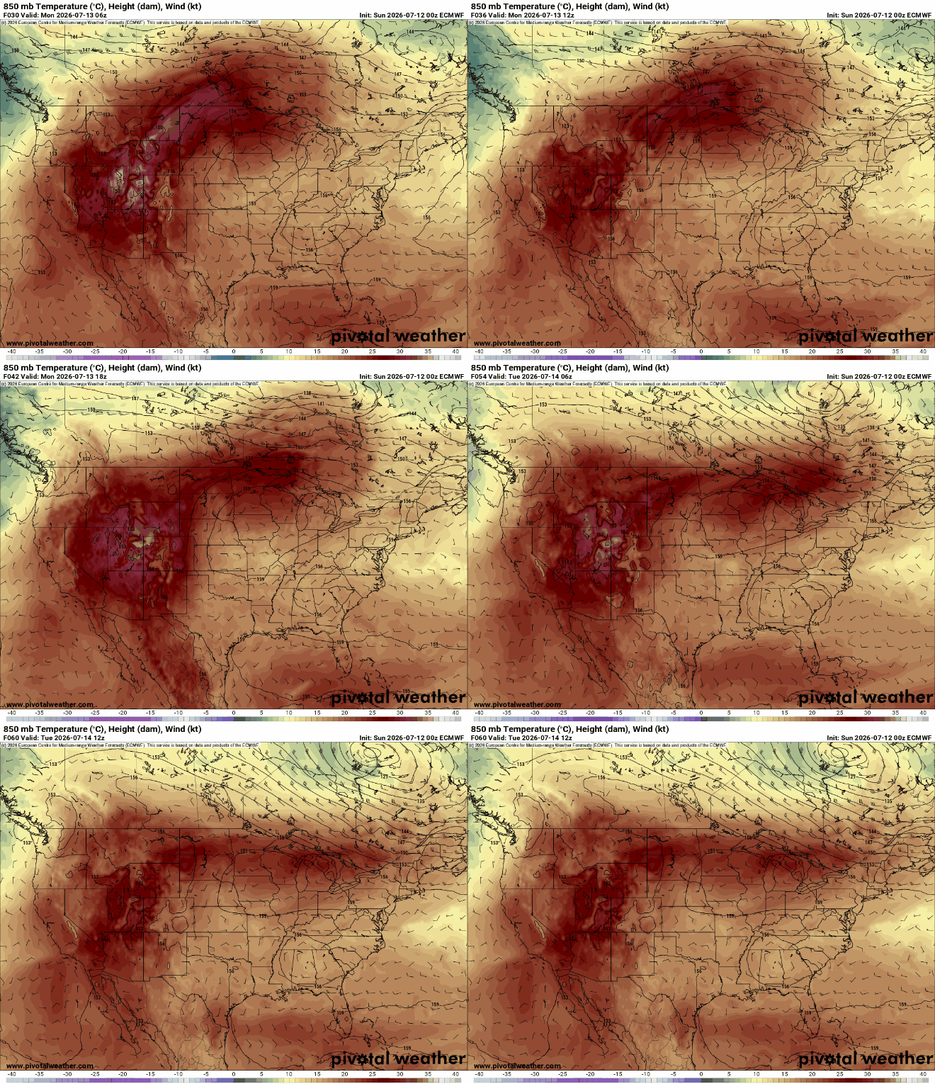
Heat index values will range from 95 to as much as 110 degrees in northwestern Minnesota Monday afternoon.

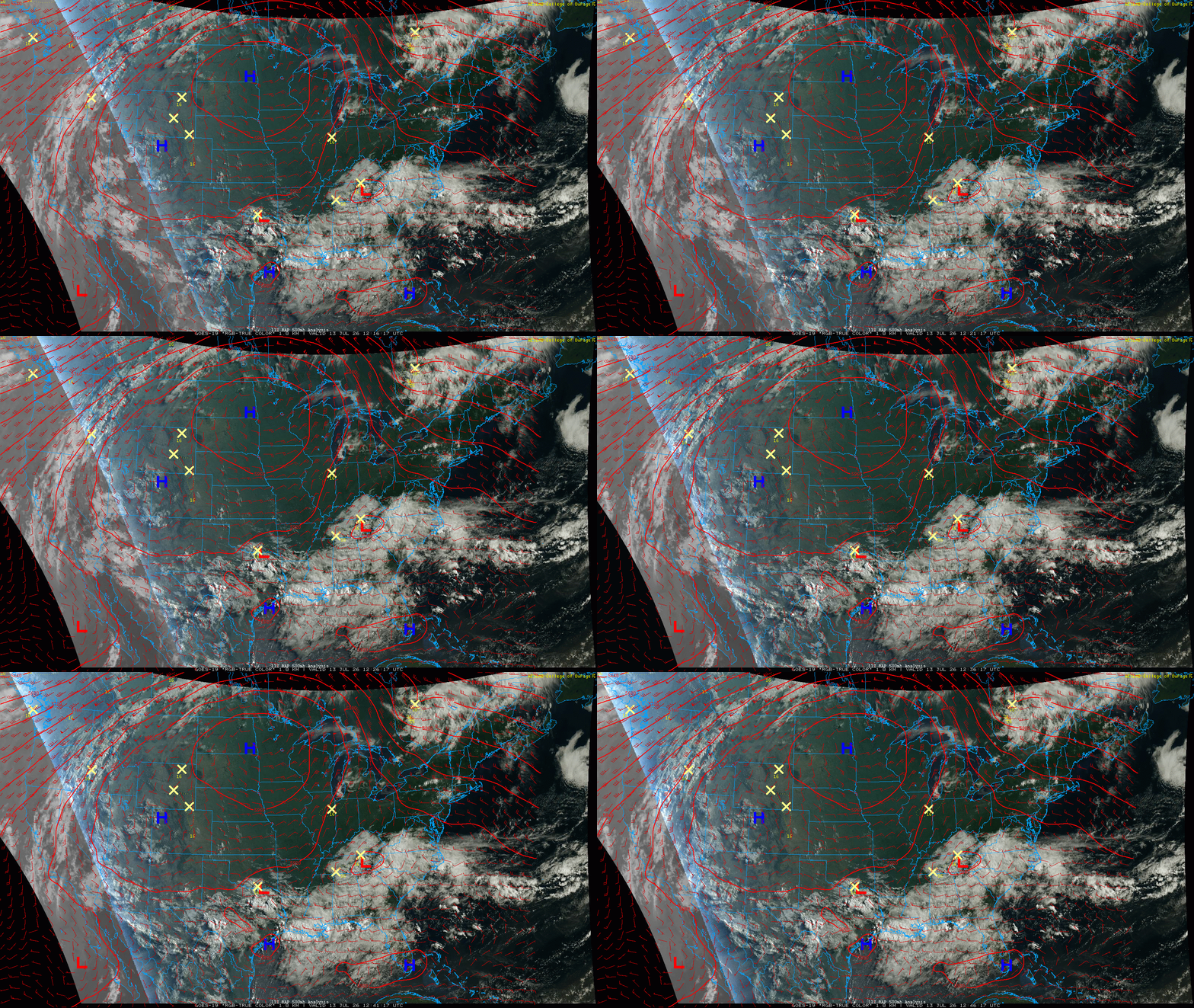
The heat dome is massive. It’s about twice the size of the next largest heat dome in North Africa right now. You can see clouds and moisture moving around it, clockwise. This keeps us dry and hot in the center of the upper-level high-pressure area.
Tuesday will continue to be hot but northern Minnesota gets a reprieve as temperatures dip just a bit into the upper 80s to near 90 degrees there while 90s persists in central and southern Minnesota.

The heat breaks down some by the weekend with highs returning into the 80s by Sunday and early next week. In the meantime, the Twin Cities can expect highs in the mid-90s through Thursday.

There’s also not a lot of rainfall in the forecast — maybe just spotty thunder this weekend — but surface soils will dry out substantially this week with the heat and sunshine.


