Heat continues through the week
Only spotty rain chances late week

Go Deeper.
Create an account or log in to save stories.
Like this?
Thanks for liking this story! We have added it to a list of your favorite stories.


Northwestern Minnesota will be slightly cooler but most of the state will continue to bake in the 90s Tuesday afternoon and through the week. We’ll see only spotty thunder chances later in the week.
Hottest, driest weather north
Extreme heat warnings and heat advisories Tuesday will persist through Thursday for central Minnesota, including the Twin Cities. Red flag warnings are again posted for northeastern Minnesota due to elevated fire weather concerns.

There’s also an air quality alert for northeastern Minnesota due to wildfire smoke. Check the latest air quality conditions, alerts and forecasts here:
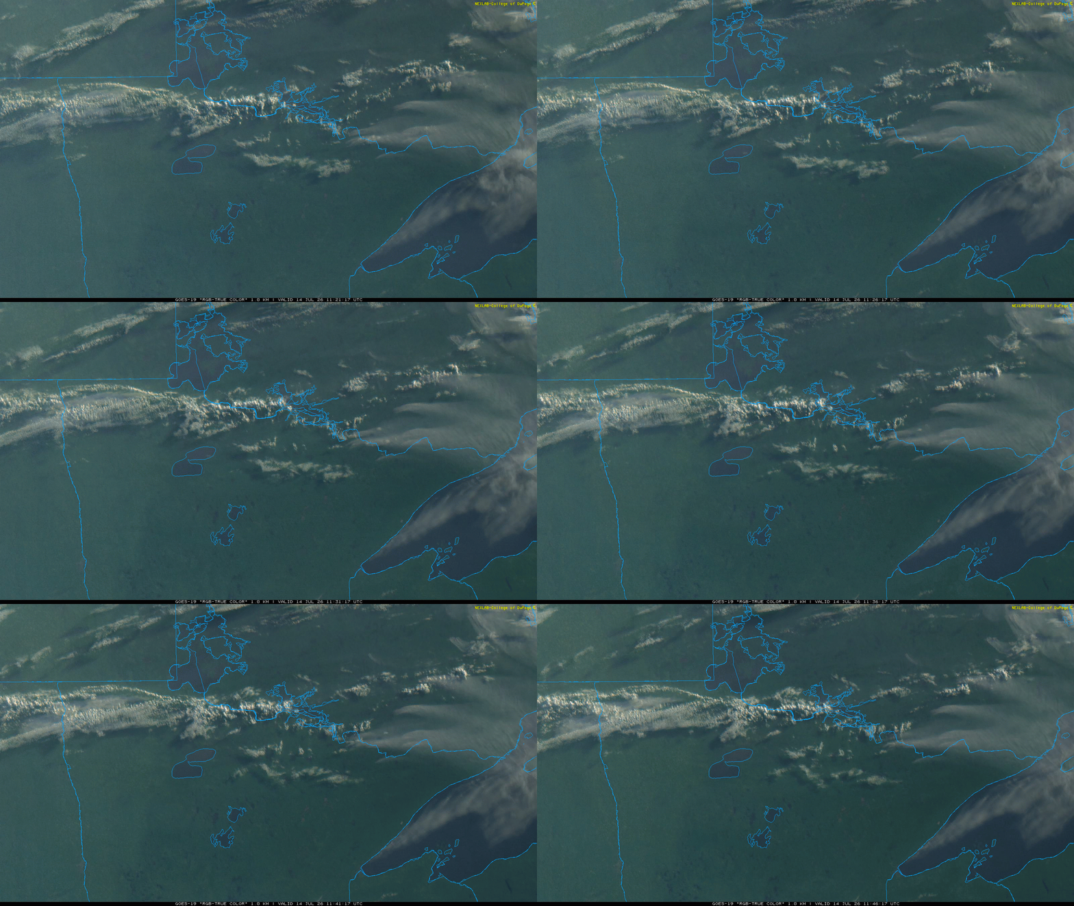
Smoke plumes are again visible Tuesday morning out of the Boundary Waters Canoe Area Wilderness into Ontario:
Turn Up Your Support
MPR News helps you turn down the noise and build shared understanding. Turn up your support for this public resource and keep trusted journalism accessible to all.
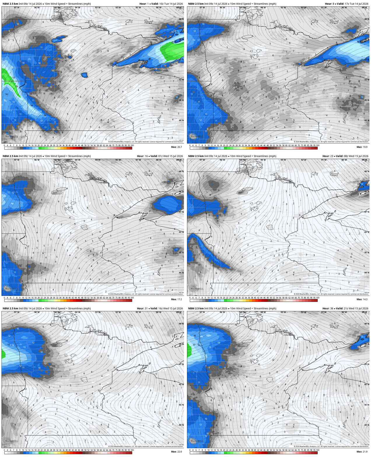
Winds will shift from out of the southwest to northwest Tuesday as a weak cool front moves south out of Canada. That will also shift smoke south.
The hottest temperatures were once again near the Minnesota-Canada border Monday afternoon.
Crane Lake and several locations in the Boundary Waters Canoe Area wilderness reached 100 degrees Monday along with extremely low relative humidity values in the afternoon.

Heat continues through the week with only spotty rain chances
Afternoon highs will be in the 90s for most of Minnesota once again Tuesday afternoon with lots of sunshine. Northwestern Minnesota will start to cool off some.

Afternoon heat index values will range from 95 to 105 degrees. Winds will be fairly light, mostly under 10 mph.

Highs Wednesday will continue to be in the 90s for most of central Minnesota with warm overnights particularly in the urban heat island of the Twin Cities.

Northern Minnesota will start to see relief Wednesday with highs cooling off into the 80s but farther south we’ll have to wait until Sunday and early next week for temperatures to drop below 90 degrees.

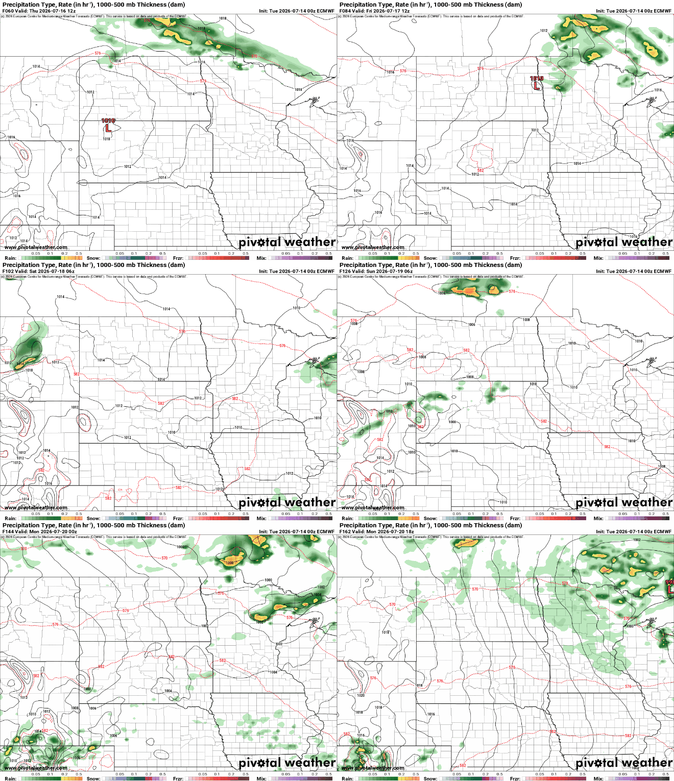
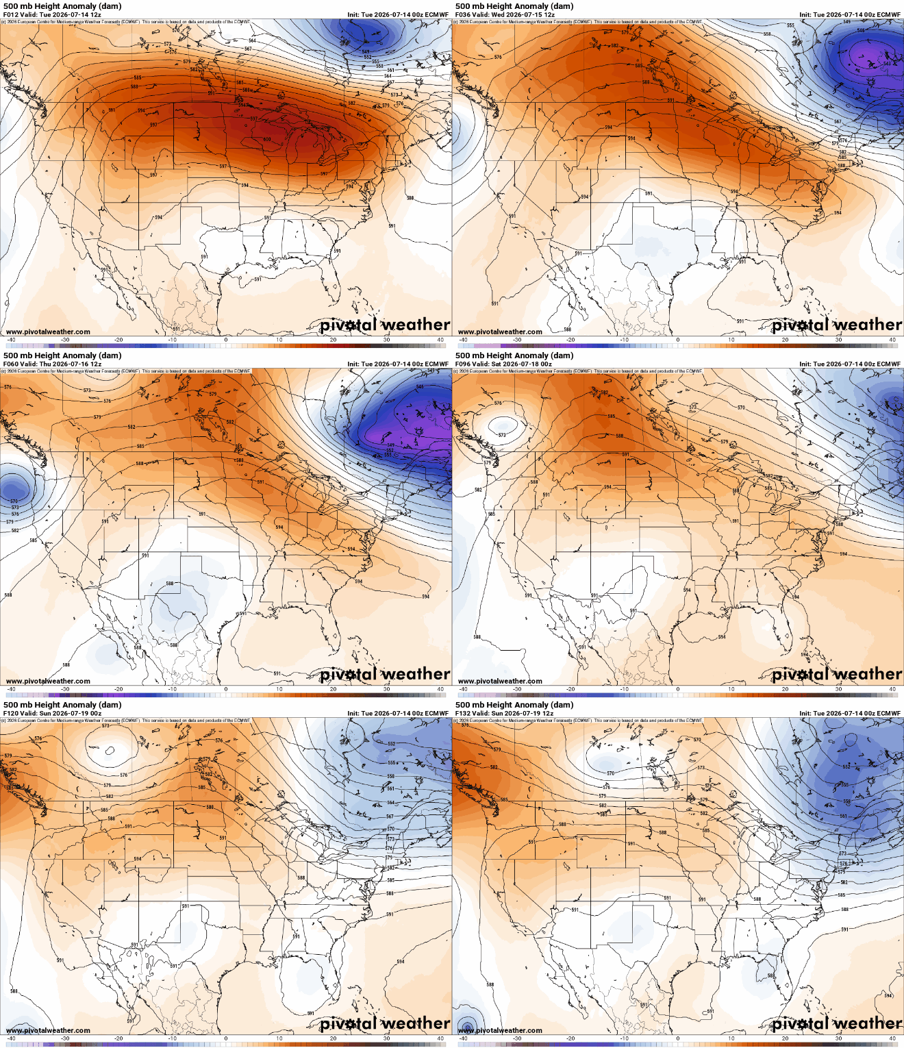
The heat dome will start to ease its grip allowing a cool front Saturday night to drop temperatures slightly for Sunday and bring a hopeful chance of at least some spotty storms.
Northern Minnesota may see some isolated to spotty thunder as early as Wednesday into Friday as the cooler air gradually progresses there. Farther south, we could see some spotty storms by Saturday night or Sunday into Monday as the cool front advances south.