
Smoky air and heat continue
Some spotty rain chances ahead
Go Deeper.
Create an account or log in to save stories.
Like this?
Thanks for liking this story! We have added it to a list of your favorite stories.


We still have a few more days of heat to get through in central and southern Minnesota. There are only some spotty rain chances ahead. Smoke will likely move north a bit again Thursday.
Smoky air lingers
Air quality alerts continue for much of Minnesota Thursday and Friday due to wildfire smoke.
Check the latest air quality conditions, alerts and forecasts here:
The current poor air quality broke state records Wednesday as the smoke continued to blanket northeastern Minnesota and migrate south through the day.
Turn Up Your Support
MPR News helps you turn down the noise and build shared understanding. Turn up your support for this public resource and keep trusted journalism accessible to all.
The poor air quality is affecting the entire Great Lakes region with unhealthy or hazardous air quality in Milwaukee, Chicago, Detroit and beyond.

The smoke will begin to move slowly back north late Thursday as south winds develop again over the Twin Cities and central Minnesota.
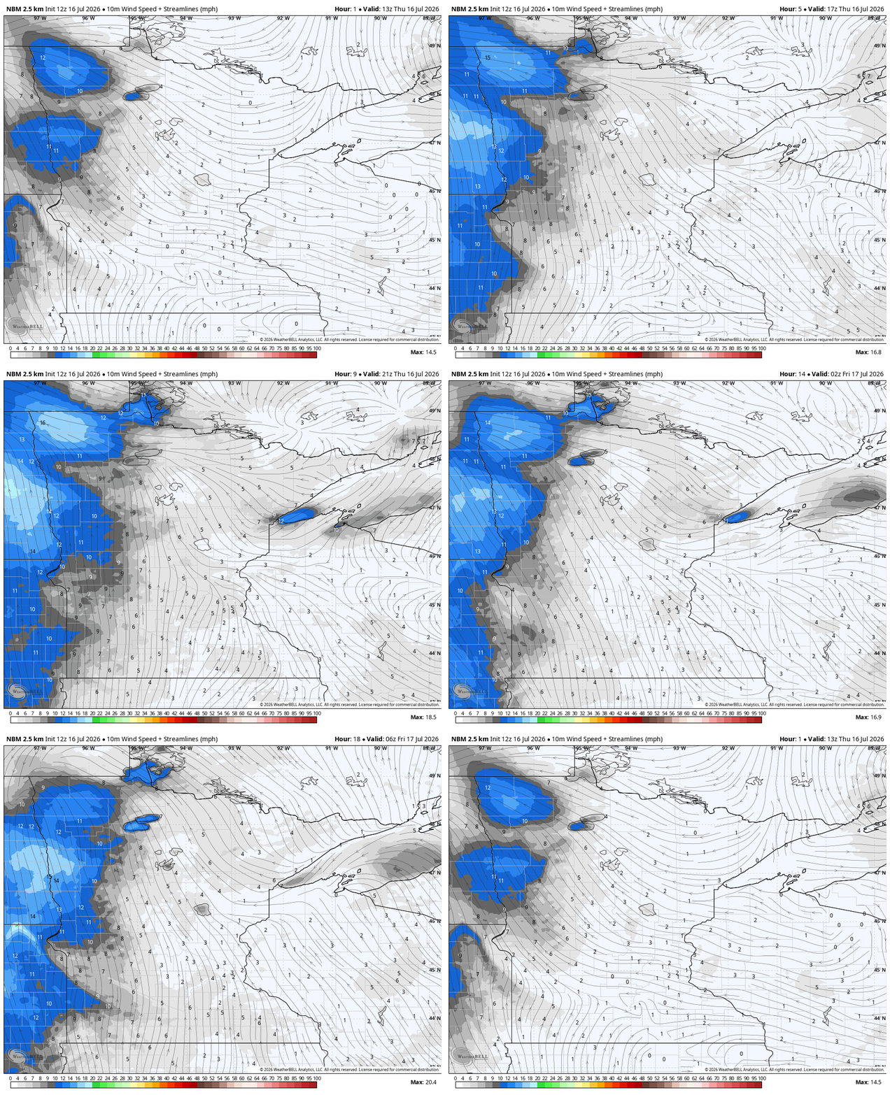
Friday should bring better air quality for the Twin Cities at least. Below is a forecast for near-surface smoke Thursday into Friday:
Heat continues a few more days
In central and southern Minnesota we still have a few more hot days left to cope with. Extreme heat warnings for central Minnesota have been extended through Friday evening.

Afternoon highs Thursday will again be in the mid-90s across much of central Minnesota while northern Minnesota continues to be a bit cooler, mostly in the 80s. Heat index values will continue to be in the 95 to 100-degree range central and south.

Friday will be hotter with clearer skies in the Twin Cities before a very weak cool front drops temperatures a few degrees for the weekend.

By weak, I mean weak. We’re talking about highs still near 90 degrees for the Twin Cities and much of central and southern Minnesota Saturday through Monday.

As for rain chances, we’ll see some spotty showers Thursday in northern Minnesota with a slightly better chance of more scattered showers or thunder Thursday night into Friday and Friday night.
While it’s unlikely to put out the fires, it will help by raising relative humidity values.
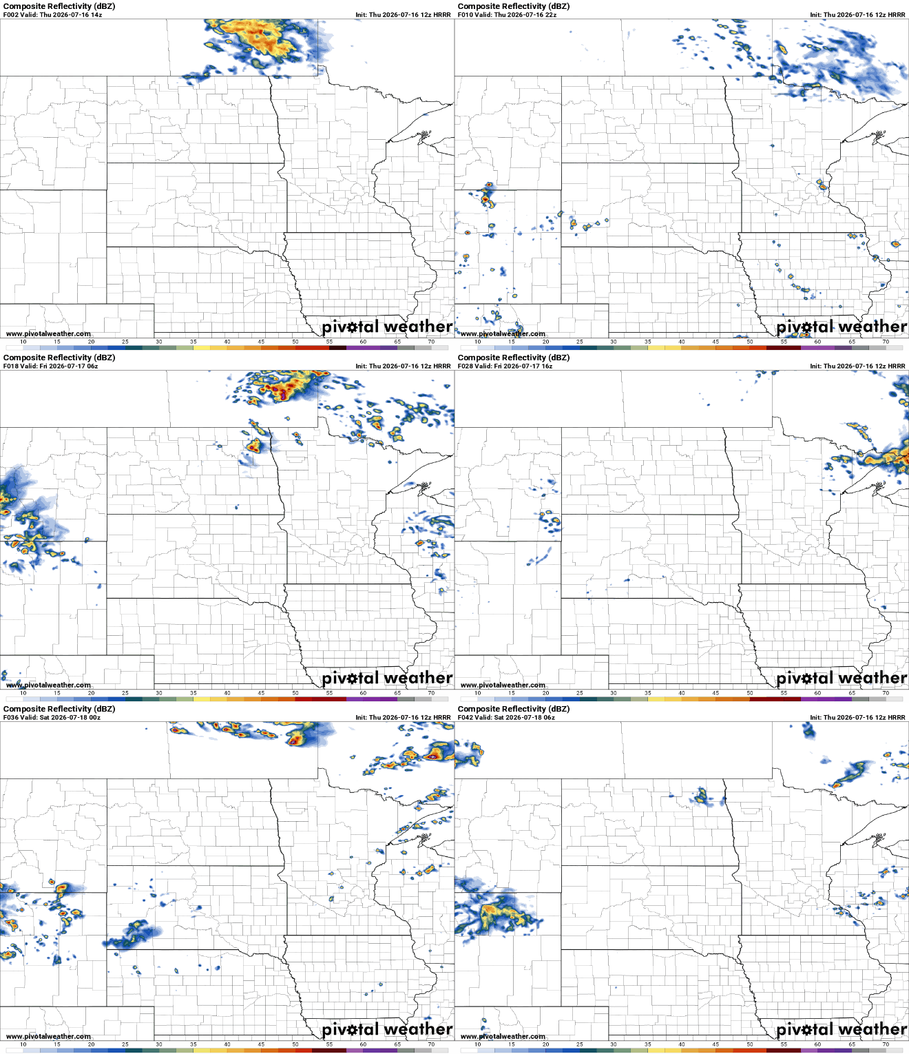
Central and southern Minnesota may see an isolated thunderstorm or two develop Thursday.
A slightly better chance of some spotty thunder Sunday night into Monday develops as a more potent cool front drops temperatures to seasonable readings, in the 80s next week.

