
Smoke retreats some for now, heat continues Friday
Some spotty rain chances ahead

Go Deeper.
Create an account or log in to save stories.
Like this?
Thanks for liking this story! We have added it to a list of your favorite stories.


The smoke continues to retreat some Friday. It will be another hot day before temperatures very subtly drop into early next week. There are only spotty rain chances ahead.
Smoke retreats a bit, at least temporarily
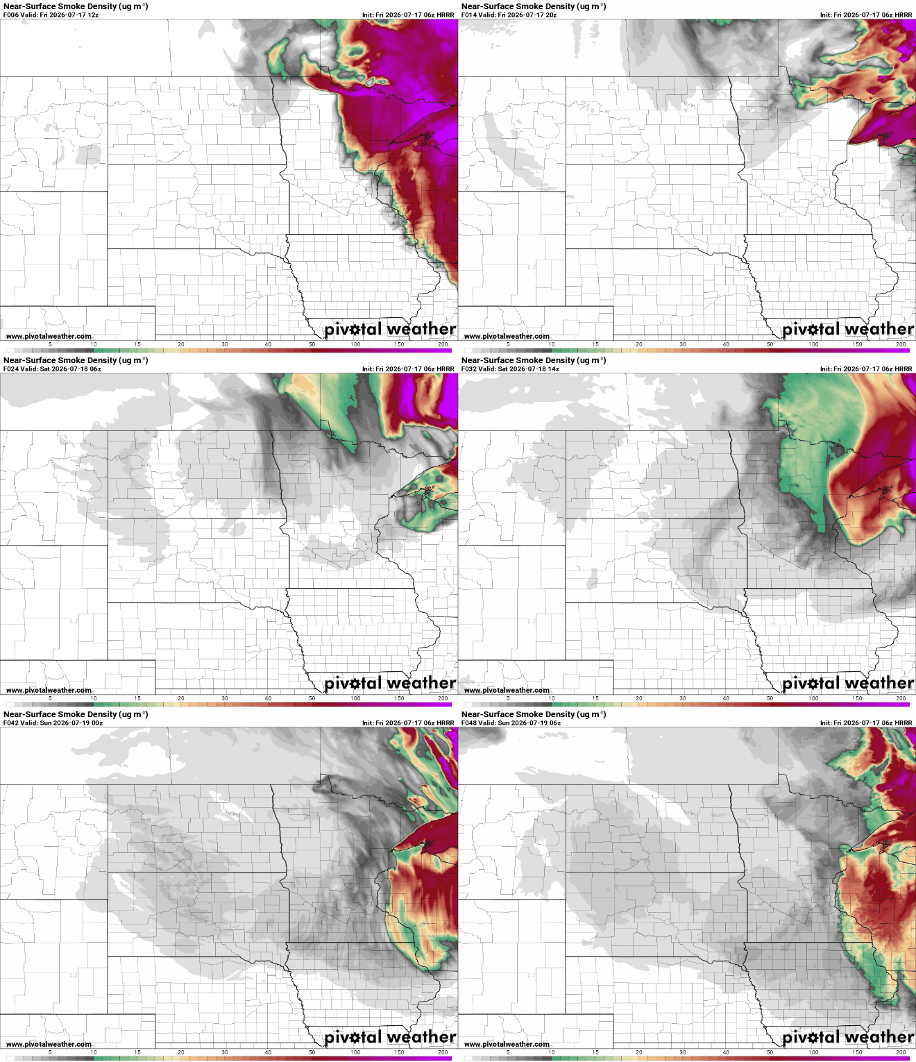
Air quality alerts continue for much of Minnesota Friday and Saturday due to wildfire smoke.
Check the latest air quality conditions, alerts and forecasts here:
The worst of the smoke retreated some late Thursday into the overnight due to light south winds returning. That trend will continue some Friday but unfortunately smoke remains thick in northeastern Minnesota.
Turn Up Your Support
MPR News helps you turn down the noise and build shared understanding. Turn up your support for this public resource and keep trusted journalism accessible to all.
Last really hot day before subtle cooling
The extreme heat warning continues one more day for the Twin Cities metro are into Friday evening. Heat advisories cover much of central and southern Minnesota.
It will still be hot this weekend but not quite to extreme heat criteria.

Afternoon highs Friday will be hotter once again with clearer skies over central and southern Minnesota. Look for highs in the mid-90s.

We have some scattered showers and thunder Friday in far northern Minnesota ahead of the first of two cool fronts. Any moisture is welcome up there. Some lucky spots could get up to one-half inch of rainfall.
As the front advances, we could see a few thundershowers overnight Friday farther south.
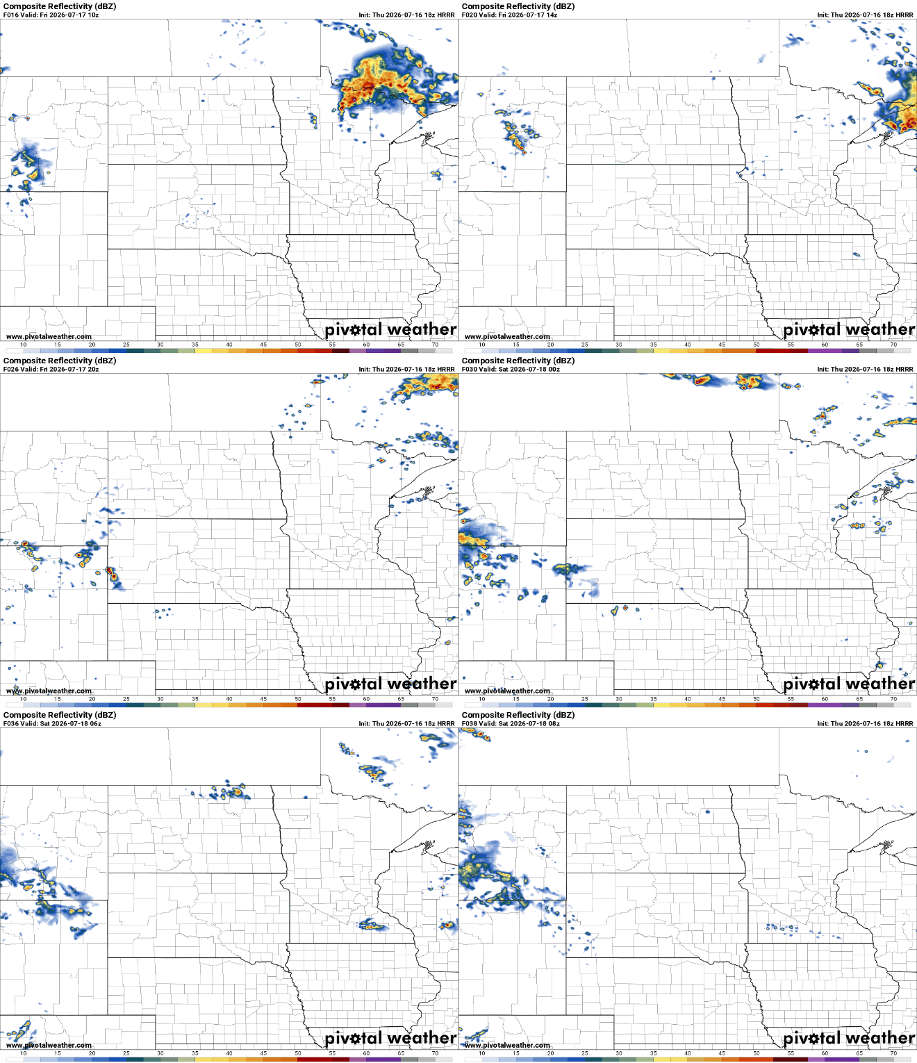
Behind the first front, temperatures cool just enough to be under extreme heat warning or heat advisory criteria but still hot. Most of southern Minnesota will still be close to 90 degrees Saturday through Monday.

Another slowly moving cool front pushes through Sunday night into Monday. That could touch off a spotty thundershower chance for central and southern Minnesota finally and finally bring in cooler air behind it.
Highs Tuesday into midweek will be in the mid-80s, which is close to normal. Overnight lows will drop into the 60s in southern Minnesota with refreshing low 50s in northern Minnesota.


