
Weekend forecast: Less humid, storm chances and smoke
Turning much cooler by Tuesday
Go Deeper.
Create an account or log in to save stories.
Like this?
Thanks for liking this story! We have added it to a list of your favorite stories.


The weekend forecast features a welcome break from the heat along with isolated thunderstorms, possible wildfire smoke and improving conditions by midweek.
Cold front pushes through Friday night
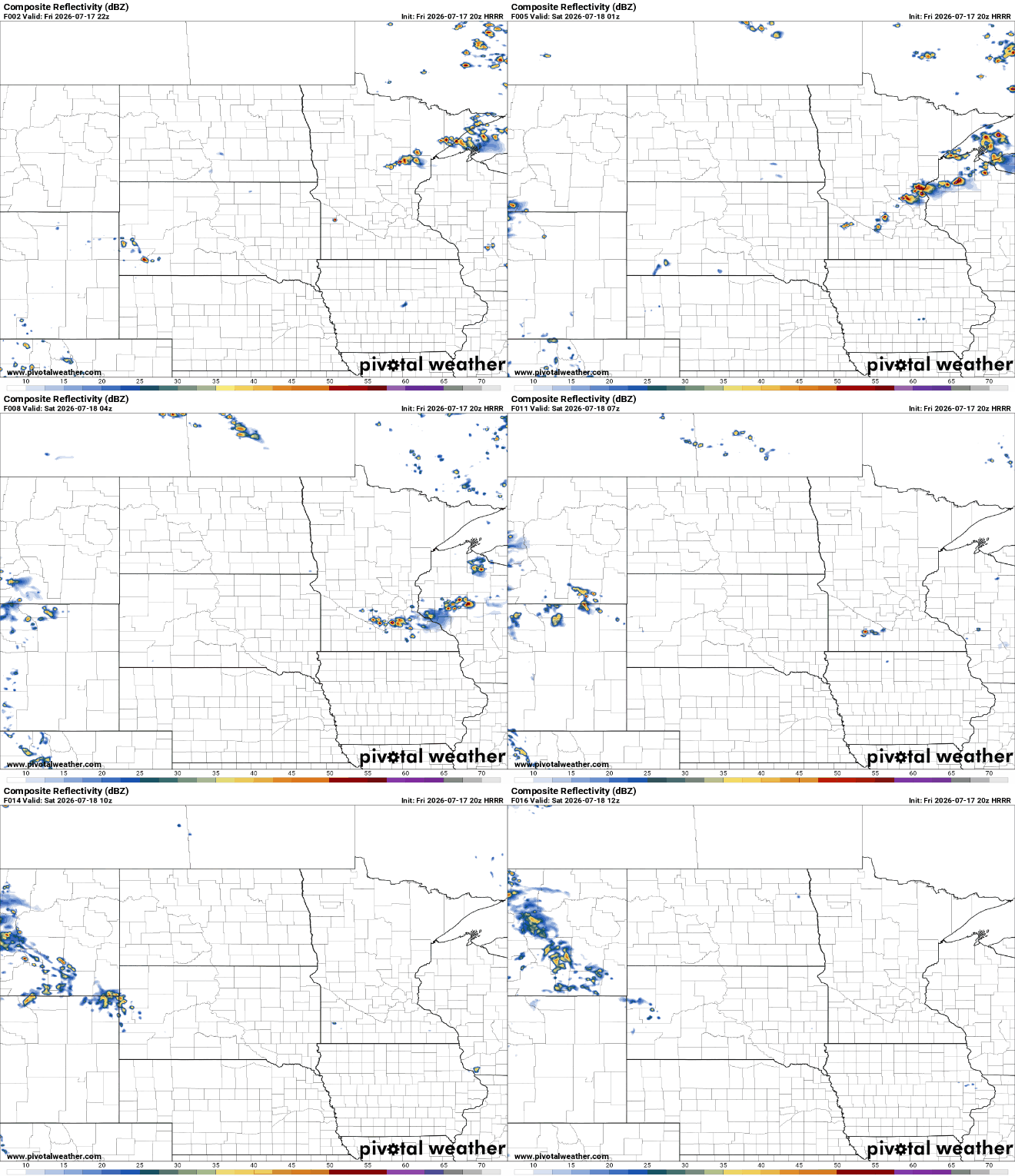
A cold front is moving southeast across Minnesota Friday night, bringing some cooler and less humid air behind it.
As the front moves through, isolated showers and thunderstorms may develop, mainly across northeastern and east-central Minnesota and western Wisconsin, especially east of Interstate 35.
While widespread severe weather is not expected, a few stronger storms could produce gusty winds and small hail.
Turn Up Your Support
MPR News helps you turn down the noise and build shared understanding. Turn up your support for this public resource and keep trusted journalism accessible to all.
Saturday will feel much more comfortable thanks to lower humidity, although afternoon temperatures will still reach the warm side. The biggest difference will be the much less sticky air, making it far more pleasant to spend time outdoors.

Light smoke may drift into parts of Minnesota on Saturday with higher concentrations possible Saturday night into Sunday. Confidence remains low because smoke concentrations will depend on wildfire activity and changing wind patterns, but it's something to keep an eye.
An air quality alert remains in effect through Monday 11 a.m. for northeastern Minnesota.

The quiet weather won't last long. Moisture will begin increasing again late Sunday, setting the stage for another round of showers and thunderstorms Sunday night into Monday morning.
Monday could be another 90-plus degree day depending on how Sunday’s storms shape up.
High temperatures will settle into the upper 70s to near 80 degrees by Tuesday with overnight lows dropping into the 50s.
The cooler, drier air will provide a welcome break after several days of dangerous heat and humidity.

