
Hot with storm chances Monday, then a cooler break
Heat returns by the weekend

Go Deeper.
Create an account or log in to save stories.
Like this?
Thanks for liking this story! We have added it to a list of your favorite stories.


It’ll be steamy Monday with early morning storms and more storms developing southeast later in the day. Behind that cool front, we’ll get a few days of nice weather before heat returns.
Hot with storm chances Monday, then a cooler break
There will be two rounds of storms in our region Monday. Early morning activity will continue to push southeast and diminish through the morning. The morning storms dumped quite a bit of rainfall in especially Waseca and Steele counties where more than 2 inches fell in many areas.

Skies will clear and with hot, muggy conditions ahead of an advancing cool front, more storms will fire up likely in far southeastern Minnesota, northern Iowa and southwestern Wisconsin Monday afternoon and evening.
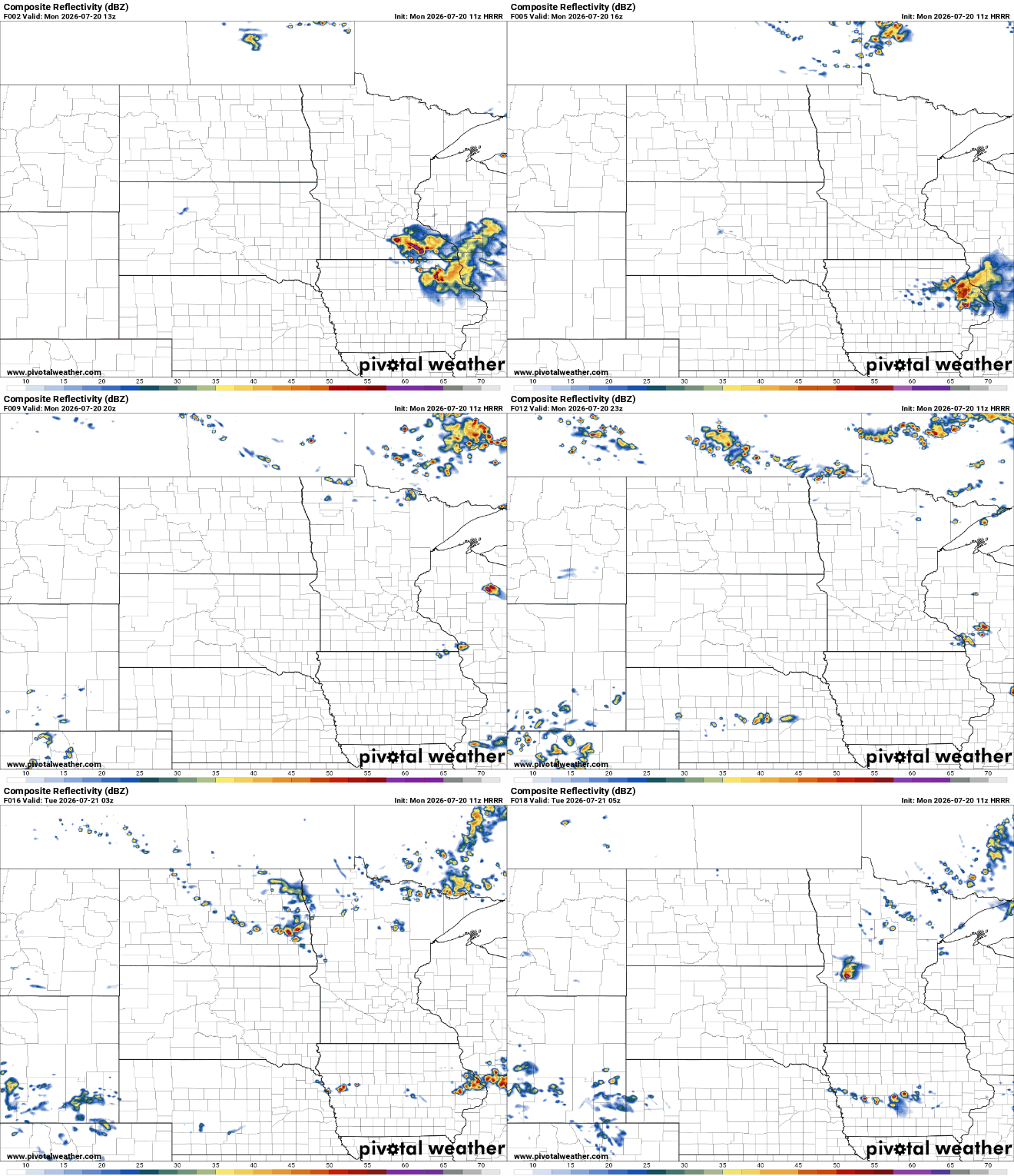
There’s an enhanced risk (level 3 of 5) for severe storms across far southeast Minnesota into Wisconsin with a slight risk (level 2 of 5) for a larger portion of southeast and southern Minnesota south and east of the Twin Cities area.
Turn Up Your Support
MPR News helps you turn down the noise and build shared understanding. Turn up your support for this public resource and keep trusted journalism accessible to all.
Monday afternoon storms could produce all severe hazards.
Highs Monday will be back in the 90s across central and southern Minnesota with muggy dew points hovering around 70 degrees. That will make for heat index values in the range of 95 to 100 degrees Monday afternoon.

There are heat advisories posted for much of eastern Minnesota for Monday afternoon and evening.

Heat and higher dew points making for heat index values near 100 degrees for portions of central and southern Minnesota.

Air quality alerts also continue for portions of Minnesota Monday due to wildfire smoke.
Check the latest air quality conditions, alerts and forecasts here:
Behind the cool front we’re in for a few days of more-seasonable and comfortable weather! Dew points will drop into the 50s and largely stay there Tuesday through Thursday.
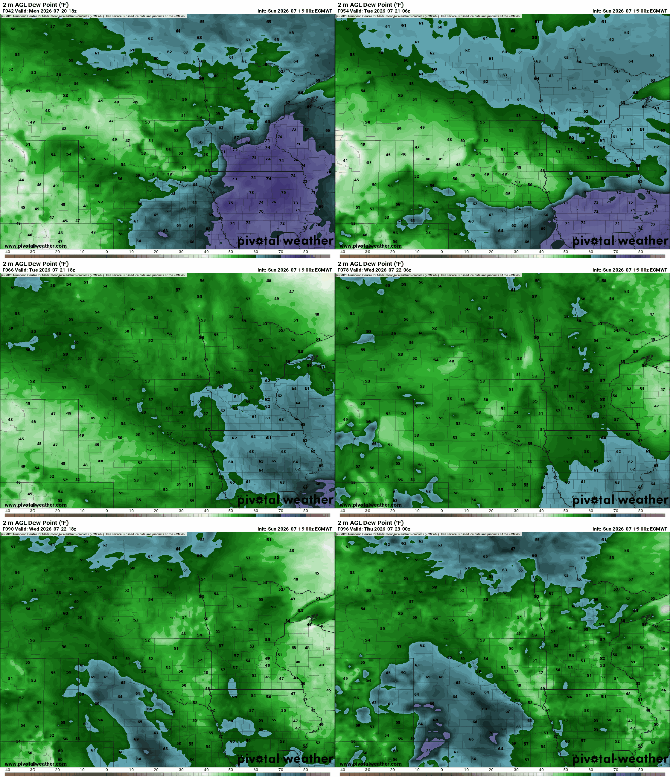
Highs Tuesday and Wednesday will be in the 70s to low 80s across most of Minnesota, which is actually even a few degrees cooler than normal for a change.

It appears the heat returns for the weekend. After a few nice, comfortable days, anomalous heat is likely to return by the end of the week into next week yet again.
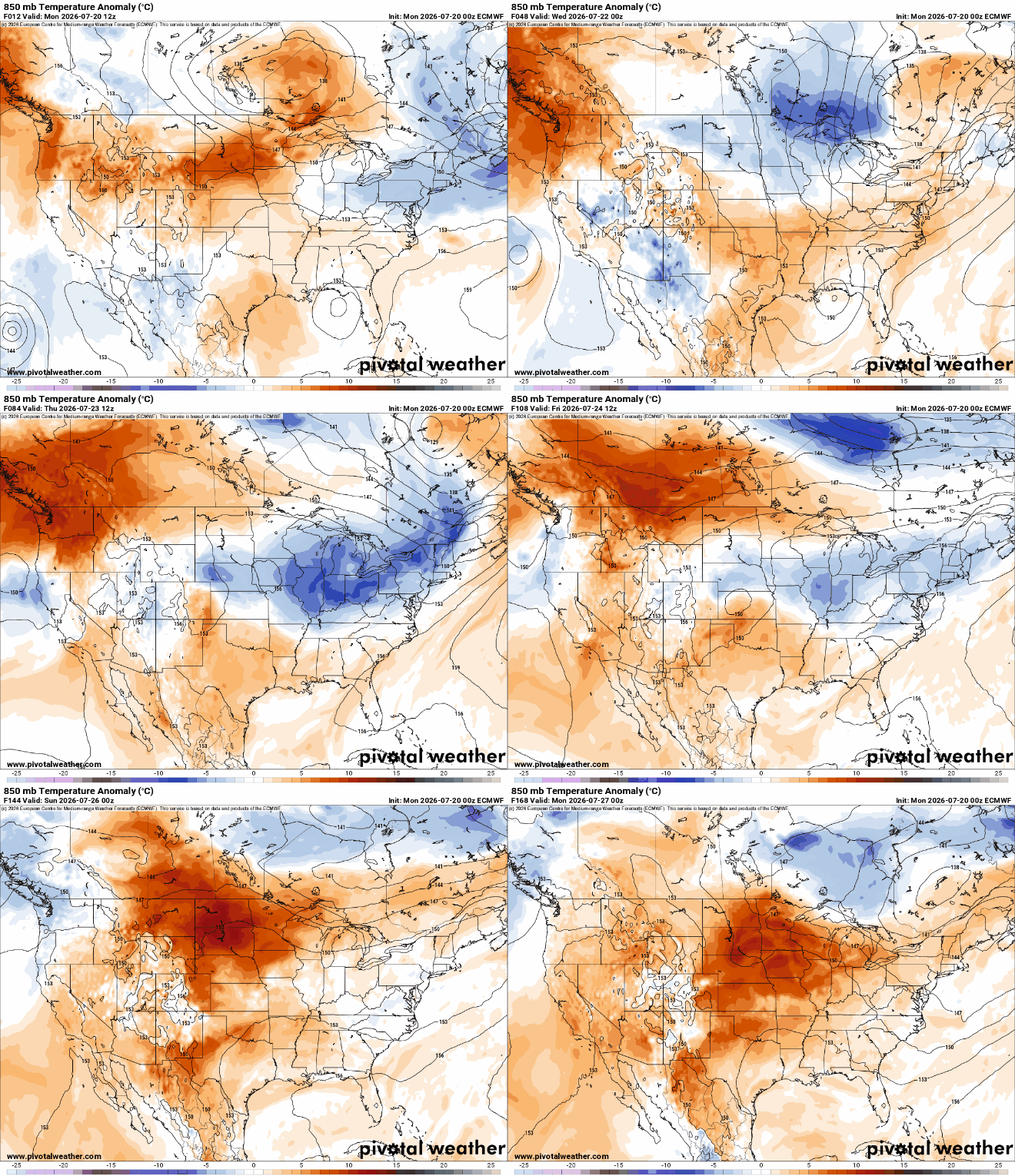
We could very well be in for a string of 90-degree days again, so if you don’t like the heat definitely make plans to enjoy the midweek weather.


