
Cooler and more comfortable for a few days
Heat returns by the weekend

Go Deeper.
Create an account or log in to save stories.
Like this?
Thanks for liking this story! We have added it to a list of your favorite stories.


Highs Tuesday and Wednesday will be in the 70s for most. That’s 5 to 20 degrees cooler than Monday for most. The heat returns by the weekend, however.
Cooler and more comfortable for a few days
Monday was our 10th consecutive day of high temperatures in the 90s in the Twin Cities. That’s the longest such stretch in 76 years and ties for the third longest on record!
We even beat 1988 for the longest stretch of consecutive 90s, although 1988 remains the winner for the most total 90s in a summer — 44 days!

That streak is now over thanks to Monday night’s cool front. Highs Tuesday will range from just the 60s in northeastern Minnesota to near 80 degrees in the Twin Cities, a full 10 to 15 or more degrees cooler than Monday afternoon.
Turn Up Your Support
MPR News helps you turn down the noise and build shared understanding. Turn up your support for this public resource and keep trusted journalism accessible to all.

Air quality continues to be an issue for portions of the state. Check the latest air quality conditions, alerts and forecasts here:
We have a nice, cool night on the way finally for Tuesday night for a change. Lows will fall into the 40s across northeast Minnesota with mostly 50s in central and southern Minnesota. Even in the urban heat island of the Twin Cities we should drop just below 60 degrees.

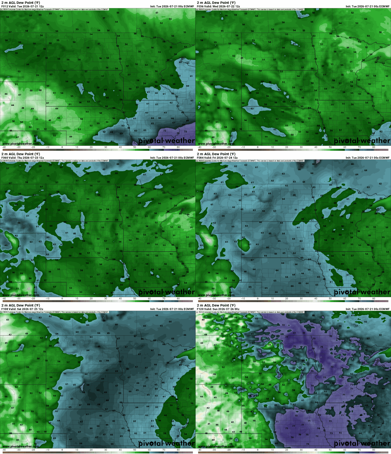
Highs Wednesday will be again mostly in the 70s with some low 80s. Dew points will remain comfortable in the 50s Tuesday into Thursday and could even drop into the 40s Wednesday.

Enjoy the break because the heat is building back by the weekend into early next week. We’re likely in for at least few more 90 degree days.

In addition to the heat, after a few days of lower, more comfortable dew points, the muggy air builds back in as well for the weekend into early next week.
The difference with the heat this time comes with the center of the heat dome being much farther southwest.
That will allow “ridge rider” disturbances along the northern edge of the upper-level ridge/heat dome for Minnesota. Friday and late Sunday look to be the best chances but storms will still be spotty.

