
Starting to warm up with heat, humidity returning this weekend
We’ll have a couple of chances at thunderstorms

Go Deeper.
Create an account or log in to save stories.
Like this?
Thanks for liking this story! We have added it to a list of your favorite stories.


We’ll see temperatures warm back into the 80s for many Thursday and Friday. Heat and humidity return for the weekend, and we’ll see a couple thunderstorm chances.
Starting to warm up with heat, humidity back this weekend
It’s another coolish, comfortable start to the day early Thursday. It should remain comfortable with dew points in the 50s, but temperatures will start to increase with many more 80s on the Minnesota map this afternoon.

The heat and humidity are building back in for the weekend. Dew points remain comfortable Thursday and Friday but will increase into the 60s and even 70s for Saturday and Sunday.
Friday highs will be in the low 90s in the Red River Valley with widespread 80s for much of the rest of Minnesota.
Turn Up Your Support
MPR News helps you turn down the noise and build shared understanding. Turn up your support for this public resource and keep trusted journalism accessible to all.

Saturday and Sunday will bring highs in the upper 90s to southwest Minnesota and mid-90s in central Minnesota, including the Twin Cities.

We will see some thunderstorm chances. The first chance develops late Friday for northwest Minnesota. Some of those storms could be strong or severe and will track east across northeast Minnesota, which could really use the moisture.
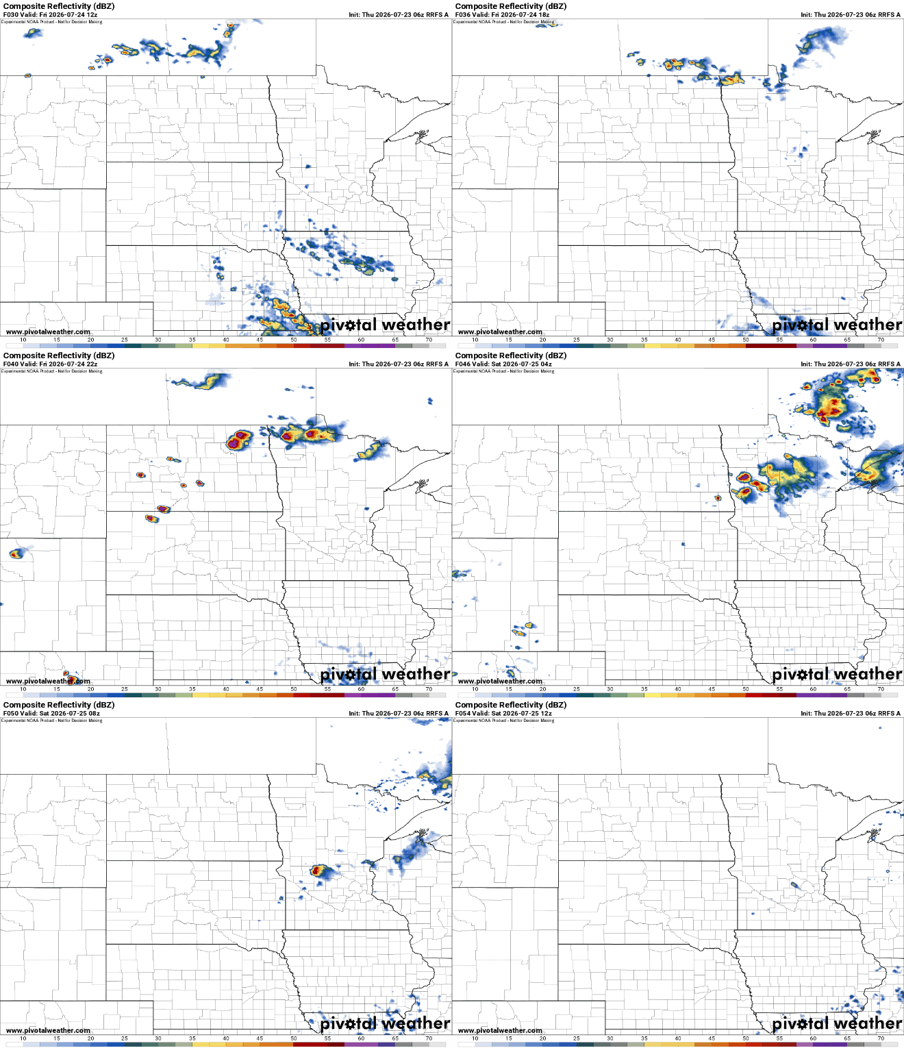
There’s even a slight (level 2 of 5) severe risk for northwest Minnesota Friday into Friday night with a marginal risk (level 1 of 5) across much of northern Minnesota.

We’ll see a chance of storms farther south potentially late Sunday into Sunday night and early Monday. Hopefully, we can get at least some occasional rainfall with this next round of heat since we’ll be on the edge of it rather than in the dry center.

